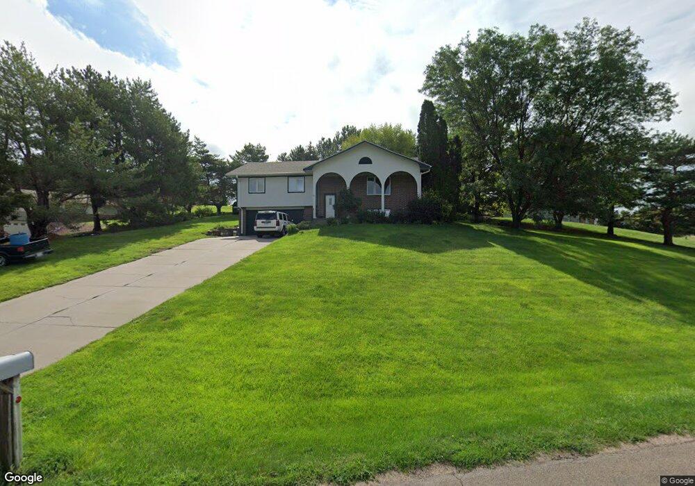
420 Cherokee Rd North Platte, NE 69101
Estimated Value: $256,440 - $299,000
4
Beds
3
Baths
1,924
Sq Ft
$146/Sq Ft
Est. Value
About This Home
This home is located at 420 Cherokee Rd, North Platte, NE 69101 and is currently estimated at $281,110, approximately $146 per square foot. 420 Cherokee Rd is a home located in Lincoln County with nearby schools including North Platte High School.
Ownership History
Date
Name
Owned For
Owner Type
Purchase Details
Closed on
Jul 10, 2009
Sold by
Meissner Eric Christian and Meissner Deborah Lynn
Bought by
Franzen Eldon L and Franzen Susan L
Current Estimated Value
Home Financials for this Owner
Home Financials are based on the most recent Mortgage that was taken out on this home.
Original Mortgage
$88,700
Outstanding Balance
$59,056
Interest Rate
5.71%
Mortgage Type
New Conventional
Estimated Equity
$222,054
Purchase Details
Closed on
Mar 17, 2009
Sold by
Volesky Jerry D and Volesky Teresa S
Bought by
Mclain Shad D and Mclain Katherine A
Create a Home Valuation Report for This Property
The Home Valuation Report is an in-depth analysis detailing your home's value as well as a comparison with similar homes in the area
Home Values in the Area
Average Home Value in this Area
Purchase History
| Date | Buyer | Sale Price | Title Company |
|---|---|---|---|
| Franzen Eldon L | $127,800 | None Available | |
| Mclain Shad D | $143,000 | None Available |
Source: Public Records
Mortgage History
| Date | Status | Borrower | Loan Amount |
|---|---|---|---|
| Open | Franzen Eldon L | $88,700 |
Source: Public Records
Tax History Compared to Growth
Tax History
| Year | Tax Paid | Tax Assessment Tax Assessment Total Assessment is a certain percentage of the fair market value that is determined by local assessors to be the total taxable value of land and additions on the property. | Land | Improvement |
|---|---|---|---|---|
| 2024 | $2,076 | $221,717 | $28,350 | $193,367 |
| 2023 | $2,793 | $203,226 | $28,350 | $174,876 |
| 2022 | $2,486 | $171,775 | $28,350 | $143,425 |
| 2021 | $2,519 | $172,675 | $29,250 | $143,425 |
| 2020 | $2,566 | $172,675 | $29,250 | $143,425 |
| 2019 | $2,557 | $171,495 | $21,724 | $149,771 |
| 2018 | $2,364 | $157,335 | $19,930 | $137,405 |
| 2017 | $2,377 | $157,335 | $19,930 | $137,405 |
| 2016 | $2,420 | $157,335 | $19,930 | $137,405 |
| 2014 | $2,239 | $135,770 | $19,930 | $115,840 |
Source: Public Records
Map
Nearby Homes
- 221 Prairie Rd
- 2421 W State Farm Rd Unit North Platte NE 6910
- 2421 W State Farm Rd
- 6740 Whisper Canyon Rd
- 0 State Farm Road Long Acreage W
- N Platte Unit NE 69101
- 0 S Buffalo Bill Development
- 0 State Farm Road Short Acreage E
- 0 Buffalo Triangle Frontage
- 0 State Farm Road Short Acreage W
- 0 N Buffalo Bill Grass
- 0 Unit 11584518
- 0 Unit Lot
- N Platte Unit NE 69101
- 0 State Farm Road Long Acreage E
- 200 College Dr
- N Platte Unit NE 69101
- 0 N Platte Fremont Slough Development Unit 11573268
- 4820 Osborne Ln
- 4910 Osborne Ln
- 621 Otoe Trail
- 402 Cherokee Rd
- 501 Cherokee Rd
- 502 Cherokee Rd
- 620 Apache Dr
- 302 Cherokee Rd
- 701 Otoe Trail
- 321 Cherokee Rd
- 621 Eagle Cir
- 701 Eagle Cir
- 301 Cherokee Rd
- 721 Otoe Trail
- 720 Apache Dr
- 210 Cherokee Rd
- 620 Eagle Cir
- 721 Eagle Cir
- 501 Mohawk Cir
- 221 Cherokee Rd
- 521 Mohawk Cir
- 801 Otoe Trail