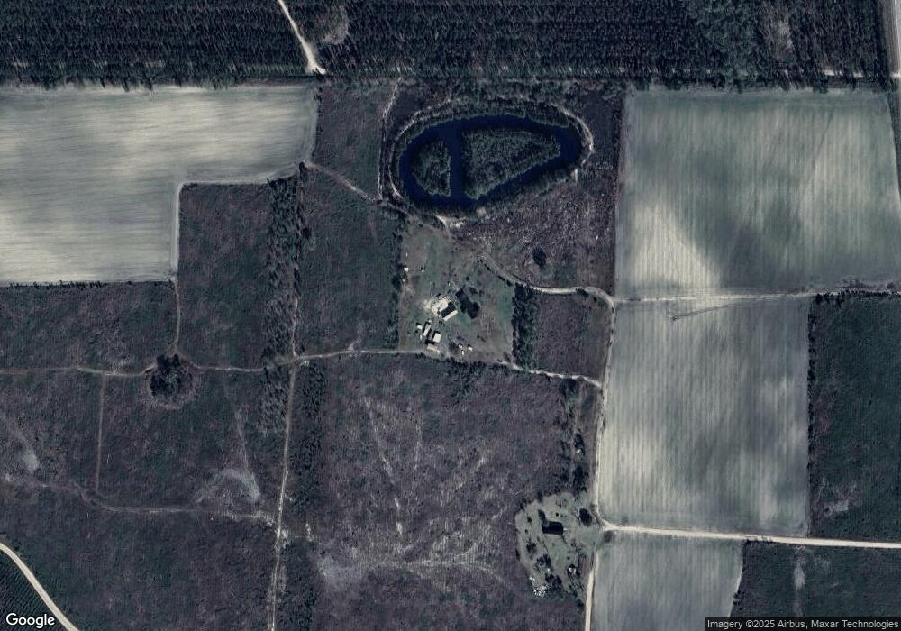
420 Coden Giddens Rd Pearson, GA 31642
Estimated Value: $163,000 - $444,032
Studio
--
Bath
1,676
Sq Ft
$196/Sq Ft
Est. Value
About This Home
This home is located at 420 Coden Giddens Rd, Pearson, GA 31642 and is currently estimated at $327,677, approximately $195 per square foot. 420 Coden Giddens Rd is a home with nearby schools including Pearson Elementary School, Willacoochee Elementary School, and Atkinson County High School.
Ownership History
Date
Name
Owned For
Owner Type
Purchase Details
Closed on
Oct 4, 2021
Sold by
Giddens Joe Willie
Bought by
Gurley Curtis Matthew and Gurley Tomie Michelle
Current Estimated Value
Purchase Details
Closed on
Jul 24, 2019
Sold by
Davis Sidney Roger
Bought by
The Sidney Davis Trust
Purchase Details
Closed on
Feb 3, 2004
Sold by
Mcquaig Martha G and Mcquaig Gidde
Bought by
Mcquaig Joe Willie
Purchase Details
Closed on
Dec 22, 2003
Sold by
Giddens K J Estate
Bought by
Mcquaig Martha G and Mcquaig Gidde
Create a Home Valuation Report for This Property
The Home Valuation Report is an in-depth analysis detailing your home's value as well as a comparison with similar homes in the area
Purchase History
| Date | Buyer | Sale Price | Title Company |
|---|---|---|---|
| Gurley Curtis Matthew | -- | -- | |
| The Sidney Davis Trust | -- | -- | |
| Mcquaig Joe Willie | -- | -- | |
| Mcquaig Martha G | -- | -- |
Source: Public Records
Tax History
| Year | Tax Paid | Tax Assessment Tax Assessment Total Assessment is a certain percentage of the fair market value that is determined by local assessors to be the total taxable value of land and additions on the property. | Land | Improvement |
|---|---|---|---|---|
| 2024 | $3,419 | $113,800 | $65,768 | $48,032 |
| 2023 | $2,862 | $113,800 | $65,768 | $48,032 |
| 2022 | $3,341 | $113,800 | $65,768 | $48,032 |
| 2021 | $2,501 | $81,791 | $64,235 | $17,556 |
| 2020 | $2,449 | $81,791 | $64,235 | $17,556 |
| 2019 | $2,601 | $81,791 | $64,235 | $17,556 |
| 2018 | $2,644 | $81,791 | $64,235 | $17,556 |
| 2017 | $2,489 | $81,791 | $64,235 | $17,556 |
| 2016 | $2,436 | $81,791 | $64,235 | $17,556 |
| 2015 | -- | $81,791 | $0 | $0 |
| 2014 | -- | $81,791 | $0 | $0 |
Source: Public Records
Map
Nearby Homes
- 110 Shortrun Ln
- 8708 Cogdell Hwy
- 00 Us-441 S
- 74 Pearson St
- 0 Honeysuckle Ln Unit 10623320
- Tbd Lazy Nine Rd
- 0 Mount Zion Church Rd
- 0 Doc Sutton Rd
- 0 Moonshadow Rd
- 129 Hoot Owl Ln Unit 1
- Highway 64
- 65 Mathis Rd
- 149 Red Bluff Rd
- 1386 Carswell Street Extension
- 0 Locklier Rd
- 1700 Mount Green Rd
- 429 Holly Dr
- 911 Woodlake Dr
- 609 Main St E
- 59 Ann St
