420 Coy Roberts Rd Screven, GA 31560
Estimated Value: $55,143 - $147,000
--
Bed
--
Bath
836
Sq Ft
$134/Sq Ft
Est. Value
About This Home
This home is located at 420 Coy Roberts Rd, Screven, GA 31560 and is currently estimated at $112,286, approximately $134 per square foot. 420 Coy Roberts Rd is a home with nearby schools including Odum Elementary School, Martha Puckett Middle School, and Wayne County High School.
Ownership History
Date
Name
Owned For
Owner Type
Purchase Details
Closed on
Jul 10, 2020
Sold by
Mansfield Brenda T
Bought by
Mansfield Leo H
Current Estimated Value
Purchase Details
Closed on
Aug 4, 2015
Sold by
Washington Clarence
Bought by
Mansfield Leo H and Mansfield Brenda T
Home Financials for this Owner
Home Financials are based on the most recent Mortgage that was taken out on this home.
Original Mortgage
$10,000,000
Interest Rate
4.09%
Mortgage Type
New Conventional
Purchase Details
Closed on
Sep 1, 1981
Bought by
Tillman Grace
Create a Home Valuation Report for This Property
The Home Valuation Report is an in-depth analysis detailing your home's value as well as a comparison with similar homes in the area
Home Values in the Area
Average Home Value in this Area
Purchase History
| Date | Buyer | Sale Price | Title Company |
|---|---|---|---|
| Mansfield Leo H | -- | -- | |
| Mansfield Leo H | $10,000 | -- | |
| Tillman Grace | -- | -- |
Source: Public Records
Mortgage History
| Date | Status | Borrower | Loan Amount |
|---|---|---|---|
| Previous Owner | Mansfield Leo H | $10,000,000 |
Source: Public Records
Tax History Compared to Growth
Tax History
| Year | Tax Paid | Tax Assessment Tax Assessment Total Assessment is a certain percentage of the fair market value that is determined by local assessors to be the total taxable value of land and additions on the property. | Land | Improvement |
|---|---|---|---|---|
| 2024 | $404 | $15,243 | $897 | $14,346 |
| 2023 | $404 | $13,450 | $897 | $12,553 |
| 2022 | $344 | $10,939 | $897 | $10,042 |
| 2021 | $293 | $8,675 | $897 | $7,778 |
| 2020 | $388 | $11,114 | $3,336 | $7,778 |
| 2019 | $399 | $11,114 | $3,336 | $7,778 |
| 2018 | $399 | $11,114 | $3,336 | $7,778 |
| 2017 | $344 | $11,114 | $3,336 | $7,778 |
| 2016 | $269 | $8,978 | $1,201 | $7,778 |
| 2014 | $269 | $8,978 | $1,201 | $7,778 |
| 2013 | -- | $8,977 | $1,200 | $7,777 |
Source: Public Records
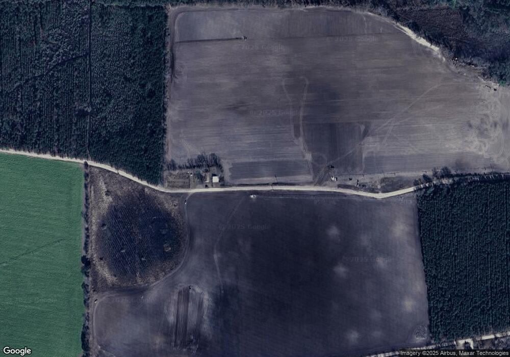
Map
Nearby Homes
- 1435 E Lake Dr
- 362 Crosby Ln
- 0 Kville Rd Unit 10596074
- 0 Kville Rd
- 4866 Kville Rd
- 4848 Holmesville Rd
- 188 Bennetts Cir
- 540 Freddy Rd
- 59 Enoch Moody Rd
- 1351 Old Screven Rd
- 1435 Bennett Crossing
- 7014 Waycross Hwy
- 7132 Waycross Hwy
- 7114 Waycross Hwy
- 9009 Waycross Hwy
- 129 Norris Dr
- 10.00 AC Hwy 341 Odum Hwy
- 675 Foxwood Cir
- 21 AC Hwy 341
- 301 Whitaker Dr