Estimated Value: $364,804 - $404,000
3
Beds
2
Baths
1,456
Sq Ft
$261/Sq Ft
Est. Value
About This Home
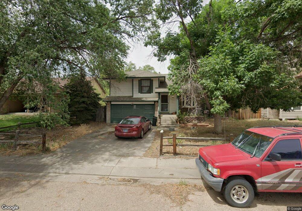
This home is located at 420 Dix Cir, Colorado Springs, CO 80911 and is currently estimated at $380,451, approximately $261 per square foot. 420 Dix Cir is a home located in El Paso County with nearby schools including Venetucci Elementary School, Watson Junior High School, and Widefield High School.
Ownership History
Date
Name
Owned For
Owner Type
Purchase Details
Closed on
Apr 6, 2001
Sold by
Cahall Glenn E and Cahall Iris S
Bought by
Mcfadden Randy E and Mcfadden Robin R
Current Estimated Value
Home Financials for this Owner
Home Financials are based on the most recent Mortgage that was taken out on this home.
Original Mortgage
$146,850
Outstanding Balance
$53,288
Interest Rate
6.81%
Mortgage Type
VA
Estimated Equity
$327,163
Purchase Details
Closed on
Apr 11, 1997
Sold by
Cahall Glenn E
Bought by
Cahall Iris S and Cahall Glenn E
Purchase Details
Closed on
Mar 29, 1996
Sold by
Snow James B
Bought by
Cahall Glenn E
Home Financials for this Owner
Home Financials are based on the most recent Mortgage that was taken out on this home.
Original Mortgage
$112,700
Interest Rate
7.5%
Mortgage Type
VA
Purchase Details
Closed on
Jul 30, 1993
Bought by
Mcfadden Robin R
Purchase Details
Closed on
Jun 1, 1986
Bought by
Mcfadden Robin R
Purchase Details
Closed on
Feb 1, 1986
Bought by
Mcfadden Randy E
Create a Home Valuation Report for This Property
The Home Valuation Report is an in-depth analysis detailing your home's value as well as a comparison with similar homes in the area
Home Values in the Area
Average Home Value in this Area
Purchase History
| Date | Buyer | Sale Price | Title Company |
|---|---|---|---|
| Mcfadden Randy E | $144,000 | Stewart Title | |
| Cahall Iris S | -- | -- | |
| Cahall Glenn E | $110,500 | -- | |
| Mcfadden Robin R | $84,000 | -- | |
| Mcfadden Robin R | -- | -- | |
| Mcfadden Randy E | -- | -- |
Source: Public Records
Mortgage History
| Date | Status | Borrower | Loan Amount |
|---|---|---|---|
| Open | Mcfadden Randy E | $146,850 | |
| Previous Owner | Cahall Glenn E | $112,700 |
Source: Public Records
Tax History Compared to Growth
Tax History
| Year | Tax Paid | Tax Assessment Tax Assessment Total Assessment is a certain percentage of the fair market value that is determined by local assessors to be the total taxable value of land and additions on the property. | Land | Improvement |
|---|---|---|---|---|
| 2025 | $1,821 | $27,780 | -- | -- |
| 2024 | $1,768 | $28,210 | $4,820 | $23,390 |
| 2023 | $1,768 | $28,210 | $4,820 | $23,390 |
| 2022 | $1,440 | $19,290 | $3,340 | $15,950 |
| 2021 | $1,552 | $19,830 | $3,430 | $16,400 |
| 2020 | $1,240 | $15,390 | $3,000 | $12,390 |
| 2019 | $1,233 | $15,390 | $3,000 | $12,390 |
| 2018 | $1,110 | $12,930 | $2,250 | $10,680 |
| 2017 | $1,122 | $12,930 | $2,250 | $10,680 |
| 2016 | $875 | $12,310 | $2,390 | $9,920 |
| 2015 | $897 | $12,310 | $2,390 | $9,920 |
| 2014 | $860 | $11,850 | $2,150 | $9,700 |
Source: Public Records
Map
Nearby Homes
- 490 Dix Cir
- 345 Libby Ct
- 817 Grand Blvd
- 576 Lindstrom Dr
- 335 Dix Cir
- 422 Hackberry Dr
- 402 Grand Blvd
- 141 Hayes Dr
- 633 Hackberry Dr
- 425 Security Blvd
- 480 Athens Dr
- 426 Security Blvd
- 5795 Southmoor Dr Unit 17
- 5795 Southmoor Dr Unit 39
- 5795 Southmoor Dr Unit 35
- 101 Security Blvd
- 99 Security Blvd
- 102 Security Blvd
- 197 Norman Dr
- 89 Security Blvd