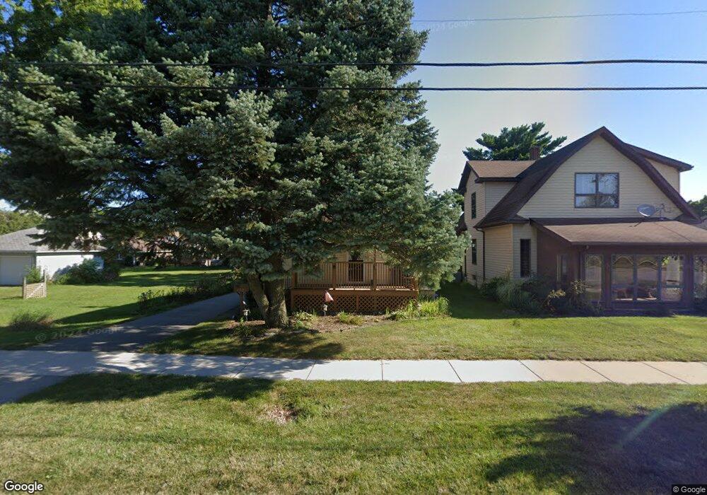
420 E 18th St Lockport, IL 60441
South Lockport NeighborhoodEstimated Value: $175,000 - $300,000
Studio
--
Bath
--
Sq Ft
6,534
Sq Ft Lot
About This Home
This home is located at 420 E 18th St, Lockport, IL 60441 and is currently estimated at $233,475. 420 E 18th St is a home located in Will County with nearby schools including Taft Grade School, Lockport Township High School East, and Saint Dennis School.
Ownership History
Date
Name
Owned For
Owner Type
Purchase Details
Closed on
Aug 6, 2024
Sold by
Lanham Ron N and Lanham Renee M
Bought by
Nolasco Maria
Current Estimated Value
Home Financials for this Owner
Home Financials are based on the most recent Mortgage that was taken out on this home.
Original Mortgage
$173,992
Outstanding Balance
$171,096
Interest Rate
6.99%
Mortgage Type
FHA
Estimated Equity
$62,380
Create a Home Valuation Report for This Property
The Home Valuation Report is an in-depth analysis detailing your home's value as well as a comparison with similar homes in the area
Home Values in the Area
Average Home Value in this Area
Purchase History
| Date | Buyer | Sale Price | Title Company |
|---|---|---|---|
| Nolasco Maria | $180,000 | Fidelity National Title |
Source: Public Records
Mortgage History
| Date | Status | Borrower | Loan Amount |
|---|---|---|---|
| Open | Nolasco Maria | $173,992 |
Source: Public Records
Tax History
| Year | Tax Paid | Tax Assessment Tax Assessment Total Assessment is a certain percentage of the fair market value that is determined by local assessors to be the total taxable value of land and additions on the property. | Land | Improvement |
|---|---|---|---|---|
| 2024 | $4,316 | $53,726 | $20,616 | $33,110 |
| 2023 | $4,316 | $48,232 | $18,508 | $29,724 |
| 2022 | $3,728 | $42,814 | $16,429 | $26,385 |
| 2021 | $3,558 | $40,235 | $15,439 | $24,796 |
| 2020 | $3,508 | $38,912 | $14,931 | $23,981 |
| 2019 | $3,343 | $36,884 | $14,153 | $22,731 |
| 2018 | $3,161 | $34,093 | $13,346 | $20,747 |
| 2017 | $2,991 | $31,248 | $12,232 | $19,016 |
| 2016 | $2,720 | $27,734 | $10,857 | $16,877 |
| 2015 | $2,646 | $25,619 | $10,029 | $15,590 |
| 2014 | $2,646 | $25,116 | $9,832 | $15,284 |
| 2013 | $2,646 | $29,548 | $11,567 | $17,981 |
Source: Public Records
Map
Nearby Homes
- 2005 Princess Ct
- 2009 Princess Ct
- 2021 Princess Ct
- 1709 S State St
- 136 W 18th St
- 316 E 13th St
- 1505 East St
- 1509 East St Unit ST1511
- 1112 S Jefferson St
- 1120 S Hamilton St
- 1200 S State St
- 217 E 11th St
- 752 Rosanne St
- 2209-11 S State St
- 1100 S State St
- 118 E 11th St
- 1016 S State St
- 304 Dell Park Ave
- 418 Connor Ave
- 302 Hughes Ave
- 424 E 18th St
- 1721 Madison St
- 1718 S Jefferson St
- 1718 S Jefferson St Unit 2
- 428 E 18th St
- 1730 S Jefferson St
- 1711 Madison St
- 409 E 17th St
- 407 E 17th St
- 1712 S Jefferson St Unit 1712
- 405 E 17th St
- 1710 S Jefferson St Unit ST1712
- 410 E 18th St
- 421 E 17th St
- 502 E 18th St
- 401 E 17th St
- 1808 S Jefferson St
- 504 E 18th St
- 501 E 17th St
- 507 E 17th St
Your Personal Tour Guide
Ask me questions while you tour the home.