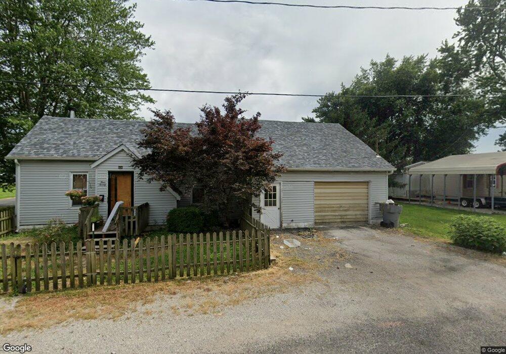
420 E 8th St Staunton, IL 62088
Estimated Value: $109,293 - $192,000
Studio
--
Bath
--
Sq Ft
7,971
Sq Ft
About This Home
This home is located at 420 E 8th St, Staunton, IL 62088 and is currently estimated at $157,073. 420 E 8th St is a home located in Macoupin County with nearby schools including Staunton Elementary School, Staunton Junior High School, and Staunton High School.
Ownership History
Date
Name
Owned For
Owner Type
Purchase Details
Closed on
Nov 18, 2020
Sold by
Borgini Michael J
Bought by
Berg Kristy K
Current Estimated Value
Home Financials for this Owner
Home Financials are based on the most recent Mortgage that was taken out on this home.
Original Mortgage
$52,000
Outstanding Balance
$46,019
Interest Rate
2.5%
Mortgage Type
New Conventional
Estimated Equity
$111,054
Purchase Details
Closed on
Aug 23, 2004
Bought by
Mayfield Kristy K and Mayfield Borgini
Create a Home Valuation Report for This Property
The Home Valuation Report is an in-depth analysis detailing your home's value as well as a comparison with similar homes in the area
Home Values in the Area
Average Home Value in this Area
Purchase History
| Date | Buyer | Sale Price | Title Company |
|---|---|---|---|
| Berg Kristy K | -- | Community Title & Escrow | |
| Mayfield Kristy K | $78,800 | -- |
Source: Public Records
Mortgage History
| Date | Status | Borrower | Loan Amount |
|---|---|---|---|
| Open | Berg Kristy K | $52,000 |
Source: Public Records
Tax History
| Year | Tax Paid | Tax Assessment Tax Assessment Total Assessment is a certain percentage of the fair market value that is determined by local assessors to be the total taxable value of land and additions on the property. | Land | Improvement |
|---|---|---|---|---|
| 2024 | $1,740 | $31,806 | $5,755 | $26,051 |
| 2023 | $1,407 | $29,450 | $5,329 | $24,121 |
| 2022 | $1,407 | $27,523 | $4,980 | $22,543 |
| 2021 | $1,260 | $31,722 | $4,654 | $27,068 |
| 2020 | $1,250 | $30,733 | $4,475 | $26,258 |
| 2019 | $1,219 | $24,248 | $4,387 | $19,861 |
| 2018 | $1,223 | $24,248 | $0 | $0 |
| 2017 | $1,151 | $23,027 | $4,166 | $18,861 |
| 2016 | $1,185 | $23,027 | $4,166 | $18,861 |
| 2015 | $1,125 | $23,027 | $4,166 | $18,861 |
| 2014 | $1,118 | $23,027 | $4,166 | $18,861 |
| 2013 | $1,106 | $23,497 | $4,251 | $19,246 |
Source: Public Records
Map
Nearby Homes
- 402 E 7th St
- 112 E 6th St
- 816 S Wood St
- 619 S Wood St
- 524 Jefferson St
- 626 W 6th St
- 311 S Edwardsville St
- 311 S Hibbard St
- 619 E Main St
- 225 E MacOupin St
- 919 W 7th St
- 724 W Mill St
- 202 E Olive St
- 812 W Mill St
- 821 W Mill St
- 919 W Henry St
- 1010 E Olive St
- 305 E Pennsylvania St
- 1021 E Main St
- 519 N Maple St
- 418 E 8th St
- 1017 S Madison St
- 1020 S Walnut St
- 413 E 9th St
- 1123 S Madison St
- 1016 S Madison St
- 418 E 7th St
- 1002 S Madison St
- 1021 S Walnut St
- 420 E 9th St
- 318 E 7th St
- 415 E 7th St
- 401 E 7th St
- 507 E 7th St
- 1053 Historic Old Route 66
- 319 E 7th St
- 1074 Historic Old Route 66
- 1027 Historic Old Route 66
- 313 E 7th St
- 402 E 6th St
Your Personal Tour Guide
Ask me questions while you tour the home.