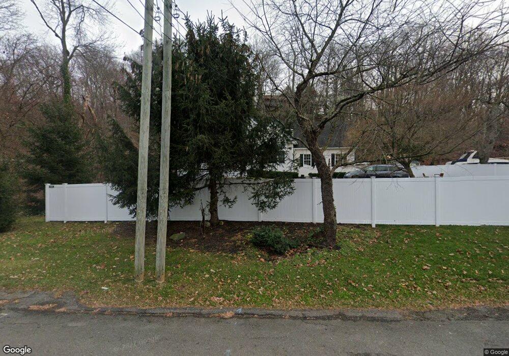
420 E Main St Centerport, NY 11721
Estimated Value: $822,000 - $978,127
4
Beds
3
Baths
--
Sq Ft
0.4
Acres
About This Home
This home is located at 420 E Main St, Centerport, NY 11721 and is currently estimated at $901,032. 420 E Main St is a home located in Suffolk County with nearby schools including Washington Drive Primary School, Thomas J Lahey Elementary School, and Oldfield Middle School.
Ownership History
Date
Name
Owned For
Owner Type
Purchase Details
Closed on
Mar 23, 2018
Sold by
Collateral Development Co
Bought by
Klampfer Christopher and Klampfer Michele
Current Estimated Value
Home Financials for this Owner
Home Financials are based on the most recent Mortgage that was taken out on this home.
Original Mortgage
$549,000
Interest Rate
4.4%
Mortgage Type
New Conventional
Purchase Details
Closed on
Jun 16, 1998
Sold by
Bell Steven and Margetson Carole
Bought by
Collateral Development Company Inc
Create a Home Valuation Report for This Property
The Home Valuation Report is an in-depth analysis detailing your home's value as well as a comparison with similar homes in the area
Home Values in the Area
Average Home Value in this Area
Purchase History
| Date | Buyer | Sale Price | Title Company |
|---|---|---|---|
| Klampfer Christopher | -- | -- | |
| Collateral Development Company Inc | $58,000 | First American Title Ins Co |
Source: Public Records
Mortgage History
| Date | Status | Borrower | Loan Amount |
|---|---|---|---|
| Previous Owner | Klampfer Christopher | $549,000 |
Source: Public Records
Tax History Compared to Growth
Tax History
| Year | Tax Paid | Tax Assessment Tax Assessment Total Assessment is a certain percentage of the fair market value that is determined by local assessors to be the total taxable value of land and additions on the property. | Land | Improvement |
|---|---|---|---|---|
| 2024 | $16,748 | $4,000 | $400 | $3,600 |
| 2023 | $8,374 | $4,000 | $400 | $3,600 |
| 2022 | $17,817 | $4,000 | $400 | $3,600 |
| 2021 | $17,600 | $4,410 | $400 | $4,010 |
| 2020 | $17,294 | $4,410 | $400 | $4,010 |
| 2019 | $34,588 | $0 | $0 | $0 |
| 2018 | $21,817 | $5,875 | $400 | $5,475 |
| 2017 | $21,817 | $5,875 | $400 | $5,475 |
| 2016 | $21,424 | $5,875 | $400 | $5,475 |
| 2015 | -- | $5,875 | $400 | $5,475 |
| 2014 | -- | $5,875 | $400 | $5,475 |
Source: Public Records
Map
Nearby Homes
- 10 Courtyard Cir
- 20 Cranbrook Ct
- 390 E Main St
- 0 E Main St
- 45 Forest Dr
- 349 E Main St
- 69 Bankside Dr
- 54 Bankside Dr
- 74 Tuscarora Dr
- 176 Hoover Place
- 37 Salem Ridge Dr
- 111 Van Buren Dr
- 39 Fleets Cove Rd
- 315 Mckinley Terrace
- 2 Spring Hollow Rd
- 14 Laurel Hill Rd
- 115 Taft Crescent
- 31 Marys Ln
- 22 Mallard Cove
- 0 Little Neck Rd
- 410 E Main St
- 2 Meahon Place
- 400 E Main St
- 11 Courtyard Cir
- 25 Meahon Place
- 12 Courtyard Cir
- 12 Courtyard Cir
- 1 Cotswold Dr
- 5 Cotswold Dr
- 7 Cotswold Dr
- 1 Courtyard Cir
- 14 Courtyard Cir
- 16 Meahon Place
- 2 Courtyard Cir
- 2 Courtyard Cir Unit 2
- 9 Cotswold Dr
- 15 Courtyard Cir
- 2 Lakeside Dr
- 2 Lakeside Dr Unit Back
- 4 Courtyard Cir