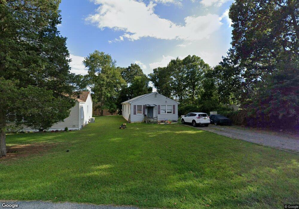
420 E Pine St Lawnside, NJ 08045
Estimated Value: $255,000 - $279,000
3
Beds
1
Bath
1,056
Sq Ft
$250/Sq Ft
Est. Value
About This Home
This home is located at 420 E Pine St, Lawnside, NJ 08045 and is currently estimated at $263,483, approximately $249 per square foot. 420 E Pine St is a home located in Camden County with nearby schools including Lawnside Public Elementary School.
Ownership History
Date
Name
Owned For
Owner Type
Purchase Details
Closed on
Apr 21, 2011
Sold by
Jones Doris and Alpheaus Timothy
Bought by
Gonzalez Adrian and Gonzalez Cristina R
Current Estimated Value
Home Financials for this Owner
Home Financials are based on the most recent Mortgage that was taken out on this home.
Original Mortgage
$92,591
Outstanding Balance
$65,928
Interest Rate
5.5%
Mortgage Type
FHA
Estimated Equity
$197,555
Create a Home Valuation Report for This Property
The Home Valuation Report is an in-depth analysis detailing your home's value as well as a comparison with similar homes in the area
Home Values in the Area
Average Home Value in this Area
Purchase History
| Date | Buyer | Sale Price | Title Company |
|---|---|---|---|
| Gonzalez Adrian | $95,000 | -- |
Source: Public Records
Mortgage History
| Date | Status | Borrower | Loan Amount |
|---|---|---|---|
| Open | Gonzalez Adrian | $92,591 |
Source: Public Records
Tax History
| Year | Tax Paid | Tax Assessment Tax Assessment Total Assessment is a certain percentage of the fair market value that is determined by local assessors to be the total taxable value of land and additions on the property. | Land | Improvement |
|---|---|---|---|---|
| 2025 | $4,622 | $94,800 | $31,100 | $63,700 |
| 2024 | $4,279 | $94,800 | $31,100 | $63,700 |
| 2023 | $4,279 | $94,800 | $31,100 | $63,700 |
| 2022 | $4,162 | $94,800 | $31,100 | $63,700 |
| 2021 | $4,192 | $94,800 | $31,100 | $63,700 |
| 2020 | $4,016 | $94,800 | $31,100 | $63,700 |
| 2019 | $3,950 | $94,800 | $31,100 | $63,700 |
| 2018 | $3,872 | $94,800 | $31,100 | $63,700 |
| 2017 | $3,807 | $94,800 | $31,100 | $63,700 |
| 2016 | $3,715 | $94,800 | $31,100 | $63,700 |
| 2015 | $3,704 | $94,800 | $31,100 | $63,700 |
| 2014 | $3,642 | $94,800 | $31,100 | $63,700 |
Source: Public Records
Map
Nearby Homes
- 325 Ashland Ave
- 492 Ellis Ave
- 348 Silk St
- 195 Eleanor Terrace
- 101 Railroad Blvd
- 217 Ashland Ave
- 405 E Evesham Ave
- 136 Lapierre Ave
- 406 Burnt Mill Rd
- 316 E Washington Ave
- 204 Cumberland Ave
- 158 E Evesham Rd
- 23 Carolina Ave
- 412 N White Horse Pike
- 224 Lafayette Ave
- 208 Ashley Run
- 122 Lincoln Ave
- 2 Juniper Ave
- 902 Rural Ave
- 218 E Somerdale Rd
- 424 E Pine St
- 428 E Pine St
- 415 Sadler Ave
- 445 E Pine St
- 416 S Charleston Ave
- 412 S Charleston Ave Unit A
- 412 S Charleston Ave Unit BACK UNIT
- 408 S Charleston Ave
- 510 S Charleston Ave
- 404 S Charleston Ave
- 425 Evesham Ave
- 333 Sadler Ave
- 385 Evesham Ave
- 353 Lions Gate Dr
- 459 E Pine St
- 349 Lions Gate Dr
- 360 Lions Gate Dr
- 400 S Charleston Ave
- 326 Ellis Ct
- 69 Franklin Cir
Your Personal Tour Guide
Ask me questions while you tour the home.