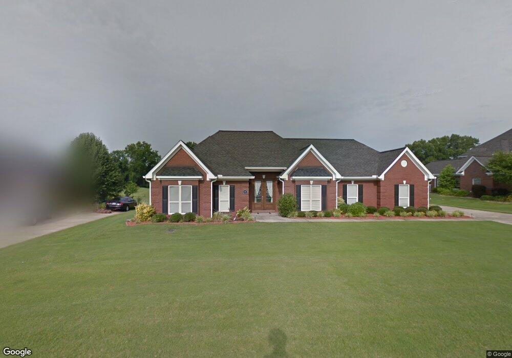
420 Elm Dr Columbus, MS 39701
Estimated Value: $386,000 - $519,000
Studio
--
Bath
3,639
Sq Ft
$124/Sq Ft
Est. Value
About This Home
This home is located at 420 Elm Dr, Columbus, MS 39701 and is currently estimated at $451,016, approximately $123 per square foot. 420 Elm Dr is a home.
Ownership History
Date
Name
Owned For
Owner Type
Purchase Details
Closed on
Jun 8, 2018
Sold by
Dees Gary A and Dees Janet B
Bought by
Wall Wayne J and Wall Elsie S
Current Estimated Value
Home Financials for this Owner
Home Financials are based on the most recent Mortgage that was taken out on this home.
Original Mortgage
$248,000
Outstanding Balance
$214,026
Interest Rate
4.5%
Mortgage Type
New Conventional
Estimated Equity
$236,990
Purchase Details
Closed on
Aug 5, 2005
Sold by
Grimes Bobby J and Grimes Tamra L
Bought by
Dees Gary A
Home Financials for this Owner
Home Financials are based on the most recent Mortgage that was taken out on this home.
Original Mortgage
$234,000
Interest Rate
5.57%
Create a Home Valuation Report for This Property
The Home Valuation Report is an in-depth analysis detailing your home's value as well as a comparison with similar homes in the area
Purchase History
| Date | Buyer | Sale Price | Title Company |
|---|---|---|---|
| Wall Wayne J | -- | -- | |
| Dees Gary A | -- | -- |
Source: Public Records
Mortgage History
| Date | Status | Borrower | Loan Amount |
|---|---|---|---|
| Open | Wall Wayne J | $248,000 | |
| Previous Owner | Dees Gary A | $234,000 |
Source: Public Records
Tax History
| Year | Tax Paid | Tax Assessment Tax Assessment Total Assessment is a certain percentage of the fair market value that is determined by local assessors to be the total taxable value of land and additions on the property. | Land | Improvement |
|---|---|---|---|---|
| 2025 | $2,008 | $32,771 | $0 | $0 |
| 2024 | $1,992 | $32,771 | $0 | $0 |
| 2023 | $1,983 | $28,664 | $0 | $0 |
| 2022 | $1,985 | $28,664 | $0 | $0 |
| 2021 | $1,910 | $28,664 | $0 | $0 |
| 2020 | $1,828 | $28,664 | $0 | $0 |
| 2019 | $2,267 | $28,381 | $0 | $0 |
| 2018 | $2,267 | $28,818 | $0 | $0 |
| 2017 | $2,152 | $28,818 | $0 | $0 |
| 2016 | $2,152 | $28,818 | $0 | $0 |
| 2015 | $2,218 | $29,602 | $0 | $0 |
| 2014 | $2,218 | $29,602 | $0 | $0 |
Source: Public Records
Map
Nearby Homes
- 4132 N Frontage Rd
- 49 Billy Casper Dr
- 30 Prairie Waters Dr
- 320 Crosby Ln
- 118 Crosby Ln
- 150 Stoneridge Walk
- 23 Breezeway Cove
- 1291 S Frontage Rd
- 100 Breezeway Cove
- 112 Breezeway Cove
- 96 Breezeway Cove
- 110 Breezeway Cove
- 820 Prairie Waters Dr
- 0 Golden Horn Rd
- 0 S Frontage Road Lot #5 Unit 25-583
- 0 S Frontage Road Lot #3 Unit 25-581
- 0 S Frontage Road Lot #1 Unit 25-579
- 1381 S Frontage Rd
- 3267 Old West Point Rd
- 2 S Frontage Rd
Your Personal Tour Guide
Ask me questions while you tour the home.