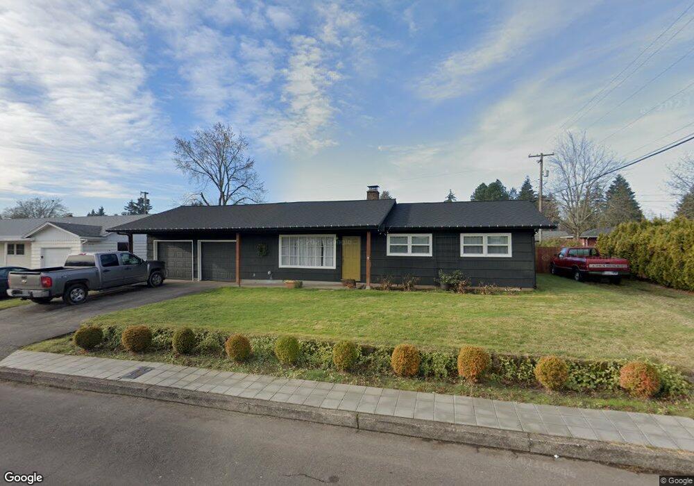
420 Flint Way Vancouver, WA 98664
Vancouver Heights NeighborhoodEstimated Value: $437,000 - $475,353
3
Beds
2
Baths
1,438
Sq Ft
$314/Sq Ft
Est. Value
About This Home
This home is located at 420 Flint Way, Vancouver, WA 98664 and is currently estimated at $451,088, approximately $313 per square foot. 420 Flint Way is a home located in Clark County with nearby schools including George C. Marshall Elementary School, McLoughlin Middle School, and Fort Vancouver High School.
Ownership History
Date
Name
Owned For
Owner Type
Purchase Details
Closed on
May 22, 1996
Sold by
Brooks Carl J and Brooks Marguerite V
Bought by
Brebner James and Brebner Jamie
Current Estimated Value
Home Financials for this Owner
Home Financials are based on the most recent Mortgage that was taken out on this home.
Original Mortgage
$104,900
Interest Rate
9%
Create a Home Valuation Report for This Property
The Home Valuation Report is an in-depth analysis detailing your home's value as well as a comparison with similar homes in the area
Home Values in the Area
Average Home Value in this Area
Purchase History
| Date | Buyer | Sale Price | Title Company |
|---|---|---|---|
| Brebner James | -- | Charter Title Corporation | |
| Brebner James | $109,900 | Charter Title Corp |
Source: Public Records
Mortgage History
| Date | Status | Borrower | Loan Amount |
|---|---|---|---|
| Previous Owner | Brebner James | $104,900 |
Source: Public Records
Tax History Compared to Growth
Tax History
| Year | Tax Paid | Tax Assessment Tax Assessment Total Assessment is a certain percentage of the fair market value that is determined by local assessors to be the total taxable value of land and additions on the property. | Land | Improvement |
|---|---|---|---|---|
| 2025 | $4,117 | $440,890 | $197,200 | $243,690 |
| 2024 | $4,016 | $421,500 | $197,200 | $224,300 |
| 2023 | $3,904 | $429,230 | $197,200 | $232,030 |
| 2022 | $3,617 | $418,880 | $197,200 | $221,680 |
| 2021 | $3,560 | $361,527 | $170,000 | $191,527 |
| 2020 | $3,249 | $335,411 | $137,689 | $197,722 |
| 2019 | $2,982 | $317,187 | $126,980 | $190,207 |
| 2018 | $3,119 | $301,585 | $0 | $0 |
| 2017 | $2,757 | $261,851 | $0 | $0 |
| 2016 | $2,498 | $241,550 | $0 | $0 |
| 2015 | $2,555 | $209,118 | $0 | $0 |
| 2014 | -- | $202,269 | $0 | $0 |
| 2013 | -- | $172,328 | $0 | $0 |
Source: Public Records
Map
Nearby Homes
- 7010 Ohio Dr
- 6906 Tennessee Ln
- 6704 Kansas St
- 6804 Louisiana Dr
- 700 Garrison Terrace
- 7012 Louisiana Dr
- 124 S Fredericksburg Way
- 6118 Kansas St
- 300 Baltimore Way
- 1007 NE 82nd Ave
- 8405 NE 10th St
- 5720 Kansas St
- 829 SE Morgan Rd
- 5813 Montana Ln
- 8009 NE 16th St
- 7520 SE Middle Way
- 6901 SE Middle Way
- 200 N Devine Rd
- 5712 Montana Ln
- 105 N Santa fe Dr
- 414 Flint Way
- 502 Flint Way
- 419 Louisville Way
- 413 Louisville Way
- 503 Louisville Way
- 419 Flint Way
- 408 Flint Way
- 413 Flint Way
- 510 Flint Way
- 503 Flint Way
- 407 Louisville Way
- 511 Louisville Way
- 7104 Kentucky Dr
- 511 Flint Way
- 516 Flint Way
- 420 Lexington Way
- 420 Louisville Way
- 414 Lexington Way
- 502 Lexington Way
- 414 Louisville Way