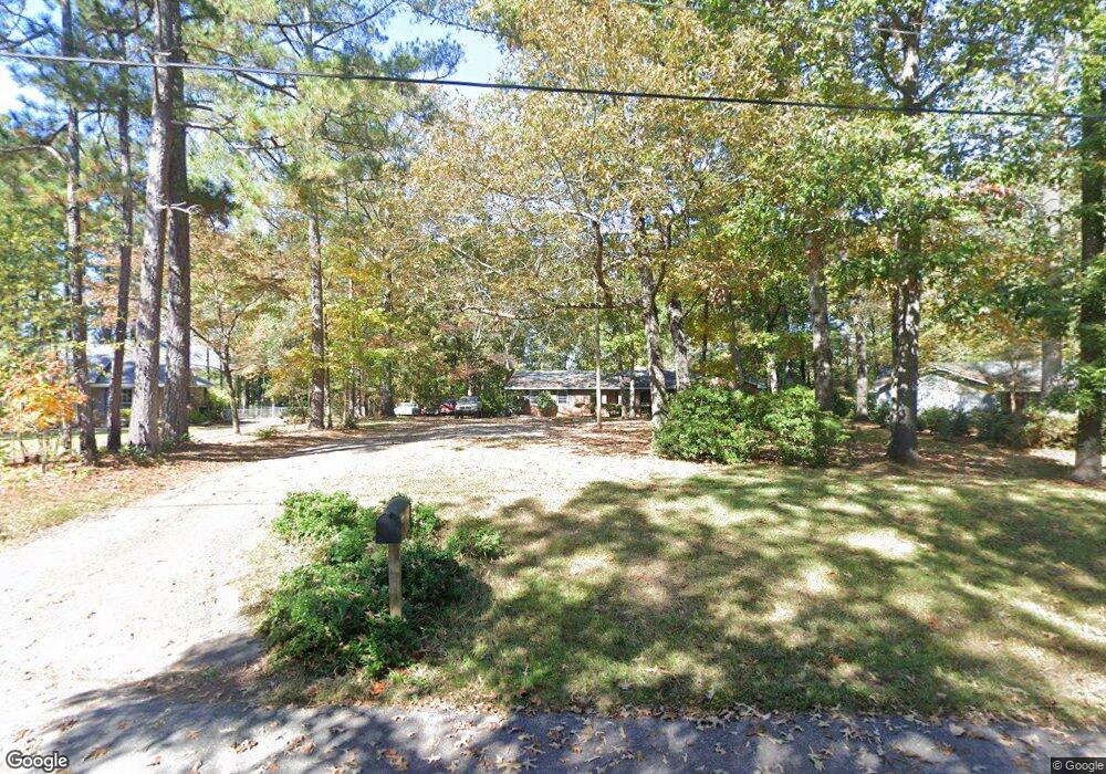
420 Ginger Cir Lagrange, GA 30240
Estimated Value: $216,000 - $248,000
3
Beds
2
Baths
1,533
Sq Ft
$148/Sq Ft
Est. Value
About This Home
This home is located at 420 Ginger Cir, Lagrange, GA 30240 and is currently estimated at $227,427, approximately $148 per square foot. 420 Ginger Cir is a home located in Troup County with nearby schools including Berta Weathersbee Elementary School, Long Cane Elementary School, and Whitesville Road Elementary School.
Ownership History
Date
Name
Owned For
Owner Type
Purchase Details
Closed on
Oct 9, 2018
Sold by
Waldrip Stacy H
Bought by
Prestridge Johnny
Current Estimated Value
Purchase Details
Closed on
Sep 20, 2018
Sold by
Hedden Haley Desiree
Bought by
Waldrip Stacy H
Purchase Details
Closed on
Oct 1, 2015
Sold by
Torbush Bevalene W
Bought by
Waldrip Stacy Hollis and Hedden Haley Desiree
Purchase Details
Closed on
Jun 1, 2011
Sold by
Torbush Bevalene W
Bought by
Torbush Bevelene W
Purchase Details
Closed on
Oct 21, 2002
Sold by
Renfroe Mrytle
Bought by
Waldrip Bevalene
Purchase Details
Closed on
Oct 26, 1979
Sold by
Fowler
Bought by
Renfroe Mrytle
Purchase Details
Closed on
May 6, 1977
Sold by
Harper
Bought by
Fowler
Purchase Details
Closed on
Jan 1, 1972
Sold by
John John P and John John
Bought by
Harper
Create a Home Valuation Report for This Property
The Home Valuation Report is an in-depth analysis detailing your home's value as well as a comparison with similar homes in the area
Purchase History
| Date | Buyer | Sale Price | Title Company |
|---|---|---|---|
| Prestridge Johnny | -- | -- | |
| Waldrip Stacy H | -- | -- | |
| Waldrip Stacy Hollis | -- | -- | |
| Torbush Bevelene W | -- | -- | |
| Waldrip Bevalene | $89,900 | -- | |
| Renfroe Mrytle | $51,000 | -- | |
| Fowler | $38,000 | -- | |
| Harper | -- | -- |
Source: Public Records
Tax History
| Year | Tax Paid | Tax Assessment Tax Assessment Total Assessment is a certain percentage of the fair market value that is determined by local assessors to be the total taxable value of land and additions on the property. | Land | Improvement |
|---|---|---|---|---|
| 2025 | $2,060 | $83,576 | $11,480 | $72,096 |
| 2024 | $1,760 | $66,504 | $11,480 | $55,024 |
| 2023 | $1,679 | $63,548 | $9,200 | $54,348 |
| 2022 | $1,627 | $60,268 | $9,200 | $51,068 |
| 2021 | $1,420 | $47,084 | $9,200 | $37,884 |
| 2020 | $1,612 | $53,444 | $9,200 | $44,244 |
| 2019 | $1,098 | $36,408 | $4,200 | $32,208 |
| 2018 | $1,010 | $33,496 | $4,200 | $29,296 |
| 2017 | $1,010 | $33,496 | $4,200 | $29,296 |
| 2016 | $980 | $32,497 | $4,200 | $28,297 |
| 2015 | $982 | $32,497 | $4,200 | $28,297 |
| 2014 | $938 | $31,008 | $4,200 | $26,808 |
| 2013 | -- | $32,570 | $4,200 | $28,370 |
Source: Public Records
Map
Nearby Homes
- 402 Ginger Cir
- 427 Fling Rd
- 8 Horace Carter Rd
- 245 Teaver Rd
- 53 Horace Carter Rd
- 808 S Fling Rd
- 98 Hearn Rd
- 0 Bradfield Dr Unit 10568803
- 112 Foxdale Dr
- 2239 Pegasus Pkwy
- 0 Glass Bridge Rd Unit 10679358
- 288 Bradfield Dr
- 210 Pinehaven Dr
- 112 Brookwood Dr
- 117 Brookwood Dr
- 104 Spring Valley Dr
- 129 Angela East Dr
- 4.5 ACRES Whatley Rd N
- 0 Deming St Unit 10550189
- 0 Salem Rd Tract 2 Unit 10675187
Your Personal Tour Guide
Ask me questions while you tour the home.