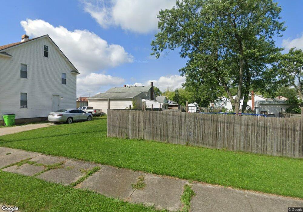
420 Green Ave Alliance, OH 44601
Estimated Value: $44,000 - $145,000
--
Bed
1
Bath
--
Sq Ft
3,833
Sq Ft Lot
About This Home
This home is located at 420 Green Ave, Alliance, OH 44601 and is currently estimated at $104,667. 420 Green Ave is a home located in Stark County with nearby schools including Alliance Early Learning School, Alliance Intermediate School at Northside, and Alliance Middle School.
Ownership History
Date
Name
Owned For
Owner Type
Purchase Details
Closed on
Feb 22, 2017
Sold by
Stark County Land Reutilization Corp
Bought by
Dilsaver Leroy C and Dilsaver Hazel V
Current Estimated Value
Purchase Details
Closed on
Apr 5, 2016
Sold by
Ruckovina Tracey W
Bought by
Stark County Land Reutilization Corp
Purchase Details
Closed on
Jul 26, 2005
Sold by
Crowder Beverly J
Bought by
Rukovina Tracey W
Create a Home Valuation Report for This Property
The Home Valuation Report is an in-depth analysis detailing your home's value as well as a comparison with similar homes in the area
Home Values in the Area
Average Home Value in this Area
Purchase History
| Date | Buyer | Sale Price | Title Company |
|---|---|---|---|
| Dilsaver Leroy C | -- | None Available | |
| Stark County Land Reutilization Corp | -- | None Available | |
| Rukovina Tracey W | $6,103 | -- |
Source: Public Records
Tax History Compared to Growth
Tax History
| Year | Tax Paid | Tax Assessment Tax Assessment Total Assessment is a certain percentage of the fair market value that is determined by local assessors to be the total taxable value of land and additions on the property. | Land | Improvement |
|---|---|---|---|---|
| 2025 | -- | $1,330 | $1,330 | -- |
| 2024 | $6 | $1,330 | $1,330 | -- |
| 2023 | $11 | $250 | $250 | -- |
| 2022 | $10 | $250 | $250 | $0 |
| 2021 | $10 | $250 | $250 | $0 |
| 2020 | $8 | $180 | $180 | $0 |
| 2019 | $8 | $180 | $180 | $0 |
| 2018 | $8 | $180 | $180 | $0 |
| 2017 | $0 | $180 | $180 | $0 |
| 2016 | $0 | $1,930 | $280 | $1,650 |
| 2015 | $90 | $1,930 | $280 | $1,650 |
| 2014 | $140 | $3,010 | $420 | $2,590 |
| 2013 | $70 | $3,010 | $420 | $2,590 |
Source: Public Records
Map
Nearby Homes
- 263 Franklin Ave
- 652 N Webb Ave
- 1214 Jersey St
- 142 S Seneca Ave
- 361 E Main St
- V/L S Fredeom Ave
- 11310 Webb Ave NE
- 710 N Freedom Ave
- 356 E Broadway St
- 124 E Wayne St
- 432 S Linden Ave
- 11344 Walnut Ave NE
- 15995 Elbrook St NE
- 452 E Summit St
- 427 S Union Ave
- 163 W Market St
- 814 Milner St
- 132 S Haines Ave
- 1044 S Liberty Ave
- 1005 S Freedom Ave