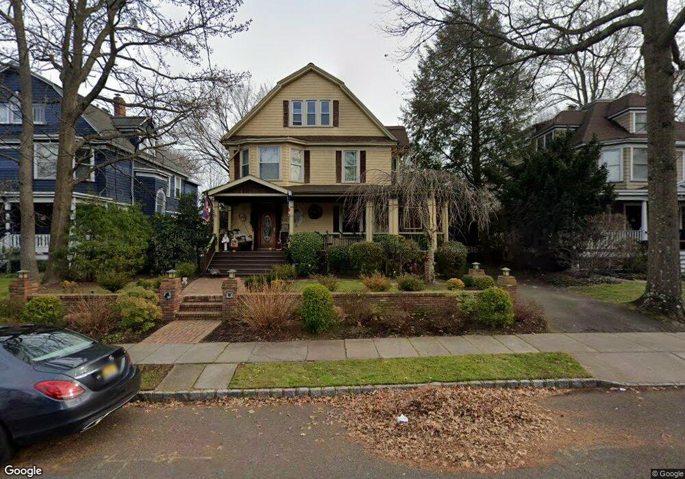
420 Kimball Ave Westfield, NJ 07090
Estimated Value: $1,452,985 - $1,716,000
--
Bed
--
Bath
2,806
Sq Ft
$555/Sq Ft
Est. Value
About This Home
This home is located at 420 Kimball Ave, Westfield, NJ 07090 and is currently estimated at $1,555,996, approximately $554 per square foot. 420 Kimball Ave is a home located in Union County with nearby schools including Wilson Elementary School, Roosevelt Intermediate School, and Westfield Senior High School.
Ownership History
Date
Name
Owned For
Owner Type
Purchase Details
Closed on
Feb 25, 2011
Sold by
Paoletti Douglas P and Paoletti Kara
Bought by
Schmid Brian M and Schmid Cheryl L
Current Estimated Value
Home Financials for this Owner
Home Financials are based on the most recent Mortgage that was taken out on this home.
Original Mortgage
$729,000
Outstanding Balance
$502,074
Interest Rate
4.84%
Mortgage Type
New Conventional
Estimated Equity
$1,053,922
Purchase Details
Closed on
Feb 9, 1999
Sold by
Green Martin J and Green Robert A
Bought by
Paoletti Douglas P and Paoletti Kara
Home Financials for this Owner
Home Financials are based on the most recent Mortgage that was taken out on this home.
Original Mortgage
$283,500
Interest Rate
6.75%
Create a Home Valuation Report for This Property
The Home Valuation Report is an in-depth analysis detailing your home's value as well as a comparison with similar homes in the area
Home Values in the Area
Average Home Value in this Area
Purchase History
| Date | Buyer | Sale Price | Title Company |
|---|---|---|---|
| Schmid Brian M | $999,900 | Chicago Title Insurance Co | |
| Paoletti Douglas P | $315,000 | Chicago Title Insurance Co |
Source: Public Records
Mortgage History
| Date | Status | Borrower | Loan Amount |
|---|---|---|---|
| Open | Schmid Brian M | $729,000 | |
| Previous Owner | Paoletti Douglas P | $283,500 |
Source: Public Records
Tax History Compared to Growth
Tax History
| Year | Tax Paid | Tax Assessment Tax Assessment Total Assessment is a certain percentage of the fair market value that is determined by local assessors to be the total taxable value of land and additions on the property. | Land | Improvement |
|---|---|---|---|---|
| 2025 | $20,264 | $899,800 | $505,200 | $394,600 |
| 2024 | $19,850 | $899,800 | $505,200 | $394,600 |
| 2023 | $19,850 | $899,800 | $505,200 | $394,600 |
| 2022 | $19,436 | $899,800 | $505,200 | $394,600 |
| 2021 | $19,463 | $899,800 | $505,200 | $394,600 |
| 2020 | $19,418 | $899,800 | $505,200 | $394,600 |
| 2019 | $19,346 | $899,800 | $505,200 | $394,600 |
| 2018 | $16,651 | $179,100 | $74,200 | $104,900 |
| 2017 | $16,560 | $179,100 | $74,200 | $104,900 |
| 2016 | $16,171 | $179,100 | $74,200 | $104,900 |
| 2015 | $15,849 | $179,100 | $74,200 | $104,900 |
| 2014 | $15,326 | $179,100 | $74,200 | $104,900 |
Source: Public Records
Map
Nearby Homes
- 304 E Dudley Ave
- 237 Orchard St
- 559 Lawrence Ave
- 534 E Broad St
- 260 Prospect St Unit C12
- 766 Oak Ave
- 740 Lawrence Ave
- 410 Lenox Ave
- 126 Ludlow Place
- 765 Belvidere Ave
- 517 Clark St
- 629 Tremont Ave
- 825 Lawrence Ave
- 445 Hillside Ave
- 654 North Ave W
- 824 Grant Ave
- 764 Fairacres Ave
- 869 Standish Ave
- 657 Hillside Ave
- 143 Stanmore Place
- 416 Kimball Ave
- 422 Kimball Ave
- 307 N Euclid Ave
- 303 N Euclid Ave
- 330 Mountain Ave
- 417 Kimball Ave
- 421 Kimball Ave
- 425 Kimball Ave
- 324 Mountain Ave
- 301 N Euclid Ave
- 402 Mountain Ave
- 320 N Euclid Ave
- 314 N Euclid Ave
- 424 Mountain Ave
- 505 Kimball Ave
- 428 Mountain Ave
- 306 N Euclid Ave
- 404 Mountain Ave
- 432 Mountain Ave
- 304 N Euclid Ave