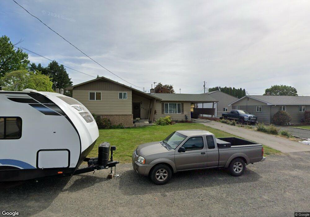
420 Linden Dr Lewiston, ID 83501
Estimated Value: $338,000 - $410,000
About This Home
This home is located at 420 Linden Dr, Lewiston, ID 83501 and is currently estimated at $383,996, approximately $150 per square foot. 420 Linden Dr is a home located in Nez Perce County with nearby schools including McGhee Elementary School, Lewiston High School, and Beacon Christian School.
Ownership History
We collect this data history from publicly available records. To have your information removed, we recommend requesting removal directly through your county’s website.
Purchase Details
Home Financials for this Owner
Home Financials are based on the most recent Mortgage that was taken out on this home.Purchase Details
Purchase History
We collect this data history from publicly available records. To have your information removed, we recommend requesting removal directly through your county’s website.
| Date | Buyer | Sale Price | Title Company |
|---|---|---|---|
| $160,000 | -- | ||
| -- | -- |
Mortgage History
We collect this data history from publicly available records. To have your information removed, we recommend requesting removal directly through your county’s website.
| Date | Status | Borrower | Loan Amount |
|---|---|---|---|
| Closed | $120,000 | ||
| Closed | $118,400 |
Tax History
We collect this data history from publicly available records. To have your information removed, we recommend requesting removal directly through your county’s website.
| Year | Tax Paid | Tax Assessment Tax Assessment Total Assessment is a certain percentage of the fair market value that is determined by local assessors to be the total taxable value of land and additions on the property. | Land | Improvement |
|---|---|---|---|---|
| 2025 | $2,645 | $330,779 | $64,000 | $266,779 |
| 2024 | $25 | $313,495 | $61,000 | $252,495 |
| 2023 | $2,605 | $327,447 | $59,250 | $268,197 |
| 2022 | $2,996 | $303,141 | $51,500 | $251,641 |
| 2021 | $2,415 | $245,284 | $41,750 | $203,534 |
| 2020 | $2,140 | $208,298 | $34,750 | $173,548 |
| 2019 | $2,067 | $190,753 | $34,750 | $156,003 |
| 2018 | $2,028 | $185,597 | $33,000 | $152,597 |
| 2017 | $1,772 | $0 | $0 | $0 |
| 2016 | $1,772 | $0 | $0 | $0 |
| 2015 | $1,689 | $0 | $0 | $0 |
| 2014 | $1,604 | $162,226 | $28,750 | $133,476 |
Map
- 424 Linden Dr
- 3419 8th St
- 333 Park Dr Unit B
- 332 Park Dr
- 408 Park Dr
- 3438 5th St Unit C
- 3434 5th St Unit B
- 3406 5th St E
- 429 Burrell Ave
- 515 Warner Ave Unit 32
- 516 Park Ave Unit 29
- 0000 Warner Dr
- 3422 6th St
- 606 Warner Ave Unit B
- 224 S Garden Ct
- 628 Burrell Ave Unit 11
- 618 Preston Ave
- 712 Bryden Ave
- 630 Preston Ave
- 630 Preston Ave Unit C
Ask me questions while you tour the home.