Estimated Value: $901,000 - $1,221,000
2
Beds
1
Bath
1,500
Sq Ft
$675/Sq Ft
Est. Value
About This Home
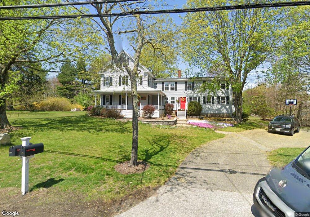
This home is located at 420 Main St Unit 2, Acton, MA 01720 and is currently estimated at $1,012,177, approximately $674 per square foot. 420 Main St Unit 2 is a home located in Middlesex County with nearby schools including Acton-Boxborough Regional High School and Oak Meadow Montessori School.
Ownership History
Date
Name
Owned For
Owner Type
Purchase Details
Closed on
Aug 31, 2000
Sold by
420 Main St Nt and Roberts Kenneth L
Bought by
Stanton Timothy and Stanton Alice
Current Estimated Value
Home Financials for this Owner
Home Financials are based on the most recent Mortgage that was taken out on this home.
Original Mortgage
$252,700
Interest Rate
8.16%
Mortgage Type
Purchase Money Mortgage
Create a Home Valuation Report for This Property
The Home Valuation Report is an in-depth analysis detailing your home's value as well as a comparison with similar homes in the area
Home Values in the Area
Average Home Value in this Area
Purchase History
| Date | Buyer | Sale Price | Title Company |
|---|---|---|---|
| Stanton Timothy | $385,000 | -- |
Source: Public Records
Mortgage History
| Date | Status | Borrower | Loan Amount |
|---|---|---|---|
| Open | Stanton Timothy | $363,500 | |
| Closed | Stanton Timothy | $252,700 | |
| Previous Owner | Stanton Timothy | $210,000 | |
| Closed | Stanton Timothy | $108,000 |
Source: Public Records
Tax History Compared to Growth
Tax History
| Year | Tax Paid | Tax Assessment Tax Assessment Total Assessment is a certain percentage of the fair market value that is determined by local assessors to be the total taxable value of land and additions on the property. | Land | Improvement |
|---|---|---|---|---|
| 2025 | $13,634 | $795,000 | $287,400 | $507,600 |
| 2024 | $11,714 | $702,700 | $287,400 | $415,300 |
| 2023 | $11,874 | $676,200 | $260,900 | $415,300 |
| 2022 | $11,157 | $573,600 | $227,100 | $346,500 |
| 2021 | $11,262 | $556,700 | $210,200 | $346,500 |
| 2020 | $10,051 | $522,400 | $210,200 | $312,200 |
| 2019 | $9,976 | $515,000 | $210,200 | $304,800 |
| 2018 | $9,362 | $483,100 | $210,200 | $272,900 |
| 2017 | $9,069 | $475,800 | $210,200 | $265,600 |
| 2016 | $8,677 | $451,200 | $210,200 | $241,000 |
| 2015 | $8,235 | $432,300 | $210,200 | $222,100 |
| 2014 | $8,185 | $420,800 | $210,200 | $210,600 |
Source: Public Records
Map
Nearby Homes
- 420 Main St
- 416 Main St
- 3 Taylor Rd
- 17 John Swift Rd
- 419 Main St
- 15 John Swift Rd
- 19 John Swift Rd
- 417 Main St
- 7 Taylor Rd
- 1111 Not Disclosed
- 392A Great Rd Condos Unit 203
- 384B Great Rd Condos Unit B303
- 42-1 Davis Rd- Heat Included
- Lot 3A Centennial Ln
- 3 Bullette Rd
- 412 Main St
- 13 John Swift Rd
- 20 John Swift Rd
- 415 Main St
- 427 Main St