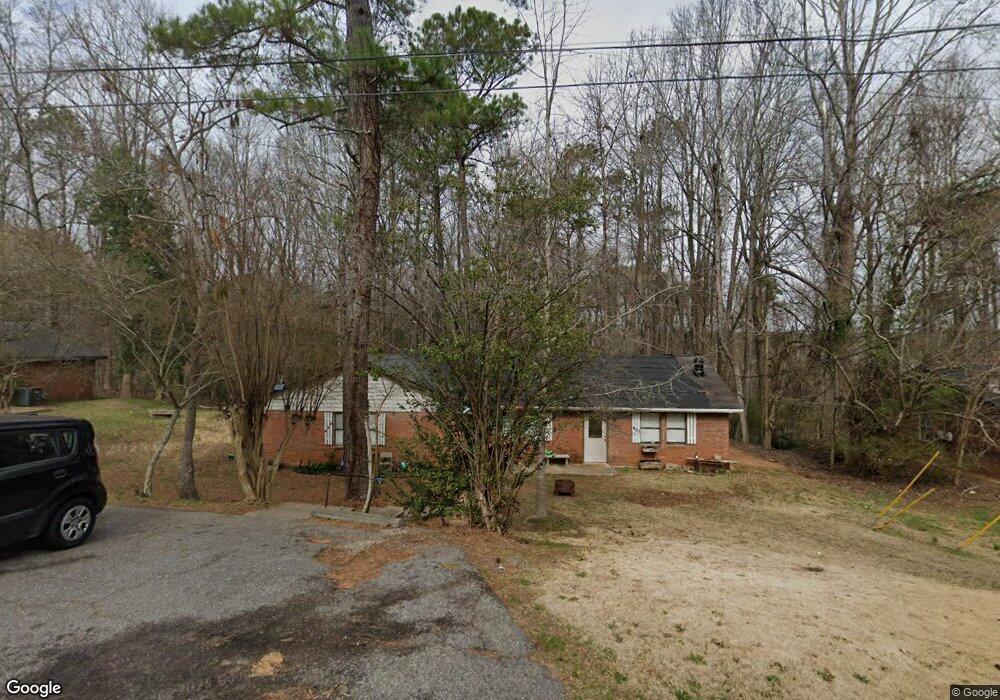
420 N Bluff Rd Athens, GA 30607
Estimated Value: $163,000 - $240,000
--
Bed
2
Baths
1,848
Sq Ft
$107/Sq Ft
Est. Value
About This Home
This home is located at 420 N Bluff Rd, Athens, GA 30607 and is currently estimated at $198,000, approximately $107 per square foot. 420 N Bluff Rd is a home located in Clarke County with nearby schools including Fowler Drive Elementary School, Coile Middle School, and Cedar Shoals High School.
Ownership History
Date
Name
Owned For
Owner Type
Purchase Details
Closed on
Sep 16, 2003
Sold by
Adio Properties Llc
Bought by
Evans David
Current Estimated Value
Purchase Details
Closed on
Oct 25, 2001
Sold by
Simpson Anthony W
Bought by
Adio Properties Llc
Purchase Details
Closed on
Oct 22, 2001
Sold by
Mclane John J
Bought by
Simpson Anthony W
Purchase Details
Closed on
Jul 31, 2000
Sold by
Dillard Joseph N
Bought by
Mclane John J
Purchase Details
Closed on
Feb 14, 1997
Sold by
Mobley Ronnie E Dr
Bought by
Dillard Joseph N
Create a Home Valuation Report for This Property
The Home Valuation Report is an in-depth analysis detailing your home's value as well as a comparison with similar homes in the area
Home Values in the Area
Average Home Value in this Area
Purchase History
| Date | Buyer | Sale Price | Title Company |
|---|---|---|---|
| Evans David | $83,000 | -- | |
| Adio Properties Llc | -- | -- | |
| Simpson Anthony W | $58,700 | -- | |
| Mclane John J | $67,500 | -- | |
| Dillard Joseph N | $58,000 | -- |
Source: Public Records
Tax History Compared to Growth
Tax History
| Year | Tax Paid | Tax Assessment Tax Assessment Total Assessment is a certain percentage of the fair market value that is determined by local assessors to be the total taxable value of land and additions on the property. | Land | Improvement |
|---|---|---|---|---|
| 2025 | $2,793 | $89,967 | $12,000 | $77,967 |
| 2024 | $2,793 | $75,596 | $12,000 | $63,596 |
| 2023 | $2,362 | $66,823 | $10,400 | $56,423 |
| 2022 | $1,301 | $40,781 | $10,400 | $30,381 |
| 2021 | $1,279 | $37,967 | $8,000 | $29,967 |
| 2020 | $1,099 | $32,624 | $8,000 | $24,624 |
| 2019 | $1,098 | $32,344 | $8,000 | $24,344 |
| 2018 | $827 | $24,360 | $6,400 | $17,960 |
| 2017 | $753 | $22,167 | $6,400 | $15,767 |
| 2016 | $721 | $21,246 | $6,400 | $14,846 |
| 2015 | $725 | $21,327 | $6,400 | $14,927 |
| 2014 | $443 | $13,000 | $6,400 | $6,600 |
Source: Public Records
Map
Nearby Homes
- 0 Old Commerce Rd Unit 10617666
- 145 Noketchee Dr
- 140 Loblolly Dr
- 170 Rocky Dr
- 156 Connally Cir
- 192 Sunny Hills Dr
- 155 Ashmore Dr
- 2850 Commerce Rd
- 110 Connelly Cir
- 495 Boley Dr
- 425 Bob Holman Rd
- 6006 Smokey
- 224 Vineyard Dr
- 2146 Danielsville Rd
- 136 Bridgewater Cir
- 1266 Towne Square Ct
- 1460 Towne Square Terrace
- 221 Frederick Dr
- 185 Fairway Cir
- 410 N Bluff Rd
- 430 N Bluff Rd
- 430/432 Rd
- 425 N Bluff Rd
- 400 N Bluff Rd
- 400/402 400 402 North Bluff Rd
- 440 N Bluff Rd
- 435 N Bluff Rd
- 405 N Bluff Rd Unit 407
- 405 N Bluff Rd
- 390 N Bluff Rd
- 197 Sir Scott Rd
- 195 Sir Scott Rd
- 455 N Bluff Rd
- 194 Sir Scott Rd
- 450 N Bluff Rd
- 380 N Bluff Rd Unit 2
- 380 N Bluff Rd
- 187 Sir Scott Rd
- 365 N Bluff Rd