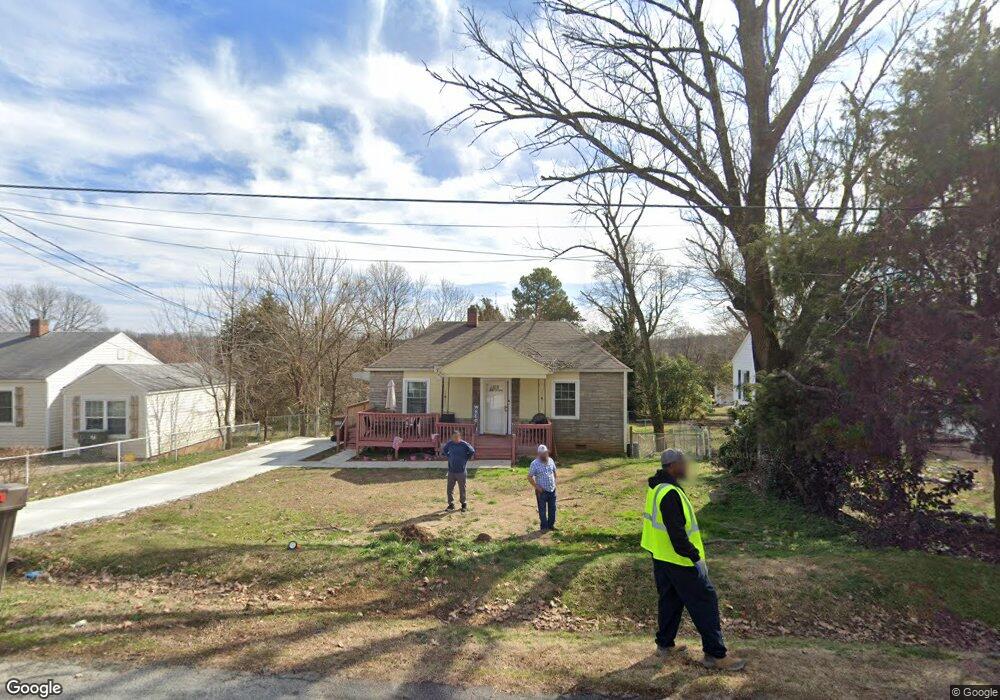
420 Player Dr High Point, NC 27260
Greater High Point NeighborhoodEstimated Value: $93,033 - $138,000
2
Beds
1
Bath
768
Sq Ft
$150/Sq Ft
Est. Value
About This Home
This home is located at 420 Player Dr, High Point, NC 27260 and is currently estimated at $115,508, approximately $150 per square foot. 420 Player Dr is a home located in Guilford County with nearby schools including Fairview Elementary School, Ferndale Middle School, and High Point Central High School.
Ownership History
Date
Name
Owned For
Owner Type
Purchase Details
Closed on
Jan 6, 2012
Sold by
Cox Bradley Richard and Cox Kelly
Bought by
Hayat Sabir and Begum Nighat
Current Estimated Value
Purchase Details
Closed on
Jun 7, 2011
Sold by
Mccormick Sharon Diane and Mccormick Robert Raymond
Bought by
Cox Bradley Richard
Purchase Details
Closed on
Mar 11, 2010
Sold by
Malone Lester
Bought by
Mccormick Sharon Diane
Purchase Details
Closed on
Apr 19, 1999
Sold by
Malone Lester and Malone Sylvia T
Bought by
Mccormick Sharon Diane
Create a Home Valuation Report for This Property
The Home Valuation Report is an in-depth analysis detailing your home's value as well as a comparison with similar homes in the area
Home Values in the Area
Average Home Value in this Area
Purchase History
| Date | Buyer | Sale Price | Title Company |
|---|---|---|---|
| Hayat Sabir | $15,000 | None Available | |
| Cox Bradley Richard | $7,500 | None Available | |
| Mccormick Sharon Diane | -- | None Available | |
| Mccormick Sharon Diane | -- | -- |
Source: Public Records
Tax History
| Year | Tax Paid | Tax Assessment Tax Assessment Total Assessment is a certain percentage of the fair market value that is determined by local assessors to be the total taxable value of land and additions on the property. | Land | Improvement |
|---|---|---|---|---|
| 2025 | $639 | $46,400 | $10,000 | $36,400 |
| 2024 | $639 | $46,400 | $10,000 | $36,400 |
| 2023 | $639 | $46,400 | $10,000 | $36,400 |
| 2022 | $625 | $46,400 | $10,000 | $36,400 |
| 2021 | $467 | $33,900 | $10,000 | $23,900 |
| 2020 | $467 | $33,900 | $10,000 | $23,900 |
| 2019 | $467 | $33,900 | $0 | $0 |
| 2018 | $465 | $33,900 | $0 | $0 |
| 2017 | $467 | $33,900 | $0 | $0 |
| 2016 | $593 | $42,300 | $0 | $0 |
| 2015 | $596 | $42,300 | $0 | $0 |
| 2014 | $607 | $42,300 | $0 | $0 |
Source: Public Records
Map
Nearby Homes
- 335 Nathan Hunt Dr
- 1103 Jefferson St
- 1012 Jefferson St
- 650 Wesley Dr
- 312 Model Farm Rd
- 640 Wesley Dr
- 1010 Grace St
- 206 Model Farm Rd
- 1021 Asheboro St
- 607 Martha Place
- 609 Martha Place
- 925 Randolph St
- 909 Randolph St
- 206 E Moore Ave
- 1309 Pershing St
- 705 Wise Ave
- 1015 Sharon St
- 1601 E Green Dr
- 1110 Worth St
- 812 E Russell Ave
- 418 Player Dr
- 422 Player Dr
- 416 Player Dr
- 424 Player Dr
- 421 Nathan Hunt Dr
- 423 Nathan Hunt Dr
- 419 Nathan Hunt Dr
- 414 Player Dr
- 419 Player Dr
- 421 Player Dr
- 417 Nathan Hunt Dr
- 417 Player Dr
- 423 Player Dr
- 415 Player Dr
- 412 Player Dr
- 500 Player Dr
- 415 Nathan Hunt Dr
- 425 Player Dr
- 413 Player Dr
- 413 Nathan Hunt Dr
Your Personal Tour Guide
Ask me questions while you tour the home.