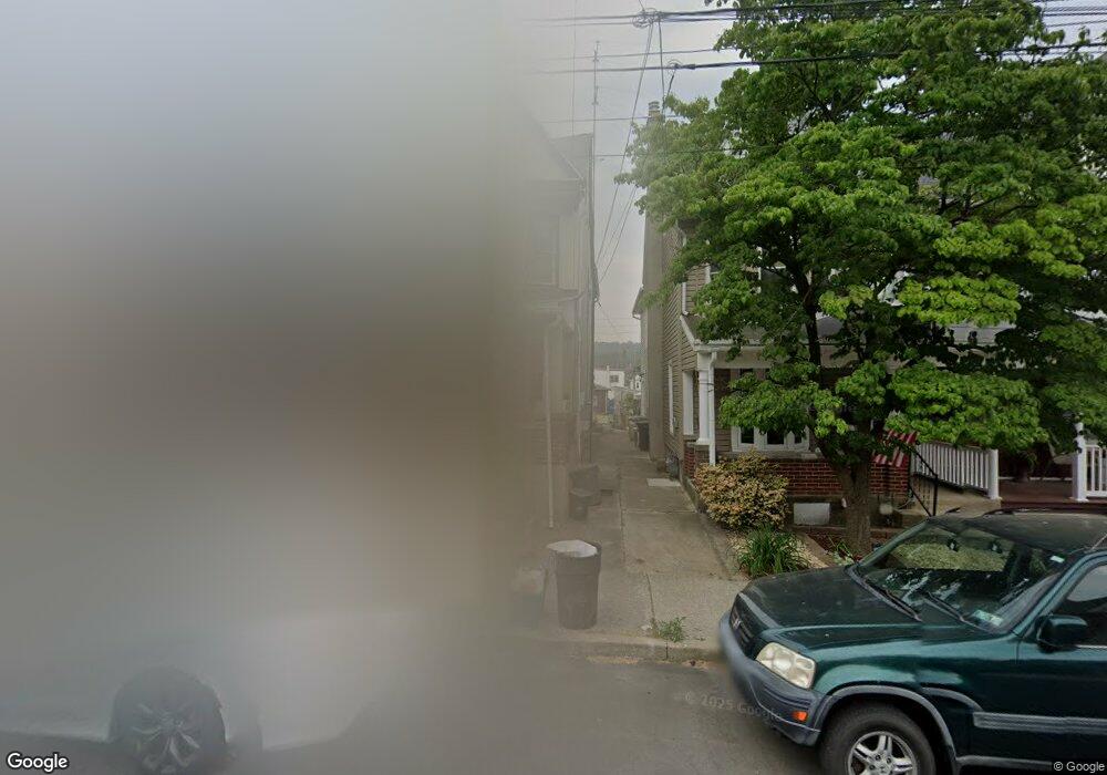
420 Ridge St Emmaus, PA 18049
Estimated Value: $261,000 - $280,000
3
Beds
2
Baths
1,600
Sq Ft
$169/Sq Ft
Est. Value
About This Home
This home is located at 420 Ridge St, Emmaus, PA 18049 and is currently estimated at $269,640, approximately $168 per square foot. 420 Ridge St is a home located in Lehigh County with nearby schools including Lincoln Elementary School, Lower Macungie Middle School, and Emmaus High School.
Ownership History
Date
Name
Owned For
Owner Type
Purchase Details
Closed on
Jun 11, 2014
Sold by
Lytle William S and Mcquillen Kathleen A
Bought by
Lytle William S and Lytle Kathleen
Current Estimated Value
Home Financials for this Owner
Home Financials are based on the most recent Mortgage that was taken out on this home.
Original Mortgage
$75,000
Interest Rate
4.21%
Mortgage Type
New Conventional
Purchase Details
Closed on
Jun 9, 1978
Bought by
Lytle William S and Mc Quillen K A
Create a Home Valuation Report for This Property
The Home Valuation Report is an in-depth analysis detailing your home's value as well as a comparison with similar homes in the area
Home Values in the Area
Average Home Value in this Area
Purchase History
| Date | Buyer | Sale Price | Title Company |
|---|---|---|---|
| Lytle William S | -- | None Available | |
| Lytle William S | $35,500 | -- |
Source: Public Records
Mortgage History
| Date | Status | Borrower | Loan Amount |
|---|---|---|---|
| Closed | Lytle William S | $75,000 |
Source: Public Records
Tax History Compared to Growth
Tax History
| Year | Tax Paid | Tax Assessment Tax Assessment Total Assessment is a certain percentage of the fair market value that is determined by local assessors to be the total taxable value of land and additions on the property. | Land | Improvement |
|---|---|---|---|---|
| 2025 | $5,231 | $148,500 | $16,000 | $132,500 |
| 2024 | $4,791 | $148,500 | $16,000 | $132,500 |
| 2023 | $4,698 | $148,500 | $16,000 | $132,500 |
| 2022 | $4,543 | $148,500 | $132,500 | $16,000 |
| 2021 | $4,430 | $148,500 | $16,000 | $132,500 |
| 2020 | $4,391 | $148,500 | $16,000 | $132,500 |
| 2019 | $4,274 | $148,500 | $16,000 | $132,500 |
| 2018 | $4,113 | $148,500 | $16,000 | $132,500 |
| 2017 | $3,986 | $148,500 | $16,000 | $132,500 |
| 2016 | -- | $148,500 | $16,000 | $132,500 |
| 2015 | -- | $148,500 | $16,000 | $132,500 |
| 2014 | -- | $148,500 | $16,000 | $132,500 |
Source: Public Records
Map
Nearby Homes
- 543 Long St
- 120 N 2nd St
- 569 Chestnut St Unit 571
- 118 N 2nd St
- 331 Minor St
- 41 S 2nd St
- 106 Garden Ct
- 104 Garden Ct
- 659 Broad St
- 642 Broad St
- 521 Wood St
- 610 Wood St
- 101 E George St
- 932-936 Walnut St Unit 932
- 932-936 Walnut St
- 137 E Harrison St
- 943 N 6th St
- 507 Iroquois St
- 4360 Hillary Dr
- 1 E Pine St