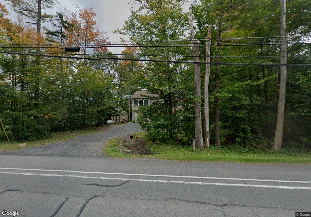
420 Route 940 Pocono Lake, PA 18347
Estimated Value: $270,000 - $370,959
3
Beds
3
Baths
1,343
Sq Ft
$231/Sq Ft
Est. Value
About This Home
This home is located at 420 Route 940, Pocono Lake, PA 18347 and is currently estimated at $310,490, approximately $231 per square foot. 420 Route 940 is a home with nearby schools including Tobyhanna Elementary Center, Clear Run Intermediate School, and Pocono Mountain West Junior High School.
Ownership History
Date
Name
Owned For
Owner Type
Purchase Details
Closed on
Feb 22, 2011
Sold by
Federal National Mortgage Association
Bought by
Bac Home Loans Servicing Lp and Countrywide Home Loans Servicing Lp
Current Estimated Value
Purchase Details
Closed on
May 28, 2010
Sold by
Ragusa Eleanor and Michaels Dennis
Bought by
Federal National Mortgage Association
Purchase Details
Closed on
Oct 14, 2005
Sold by
Nationwide Realty Group Inc
Bought by
Ragusa Eleanor and Michaels Dennis
Home Financials for this Owner
Home Financials are based on the most recent Mortgage that was taken out on this home.
Original Mortgage
$192,270
Interest Rate
5.79%
Mortgage Type
Construction
Purchase Details
Closed on
Feb 14, 2005
Sold by
Greer Mark W
Bought by
Nationwide Realty Group Inc
Create a Home Valuation Report for This Property
The Home Valuation Report is an in-depth analysis detailing your home's value as well as a comparison with similar homes in the area
Home Values in the Area
Average Home Value in this Area
Purchase History
| Date | Buyer | Sale Price | Title Company |
|---|---|---|---|
| Bac Home Loans Servicing Lp | -- | Land Title Services | |
| Halstead Richard W | $93,900 | Land Title Services | |
| Federal National Mortgage Association | $5,469 | None Available | |
| Ragusa Eleanor | $25,000 | All Pocono Abstract Inc | |
| Nationwide Realty Group Inc | $10,000 | All Pocono Abstract |
Source: Public Records
Mortgage History
| Date | Status | Borrower | Loan Amount |
|---|---|---|---|
| Previous Owner | Ragusa Eleanor | $192,270 |
Source: Public Records
Tax History Compared to Growth
Tax History
| Year | Tax Paid | Tax Assessment Tax Assessment Total Assessment is a certain percentage of the fair market value that is determined by local assessors to be the total taxable value of land and additions on the property. | Land | Improvement |
|---|---|---|---|---|
| 2025 | $1,415 | $177,450 | $28,690 | $148,760 |
| 2024 | $1,149 | $177,450 | $28,690 | $148,760 |
| 2023 | $4,512 | $177,450 | $28,690 | $148,760 |
| 2022 | $4,449 | $177,450 | $28,690 | $148,760 |
| 2021 | $4,449 | $177,450 | $28,690 | $148,760 |
| 2019 | $4,788 | $27,880 | $2,500 | $25,380 |
| 2018 | $4,788 | $27,880 | $2,500 | $25,380 |
| 2017 | $4,844 | $27,880 | $2,500 | $25,380 |
| 2016 | $1,016 | $27,880 | $2,500 | $25,380 |
| 2015 | -- | $27,880 | $2,500 | $25,380 |
| 2014 | -- | $27,880 | $2,500 | $25,380 |
Source: Public Records
Map
Nearby Homes
- 0 Pa Rte 940
- 336 Sir Bradford Rd
- 0 Pennsylvania 940
- 26 Spruce Rd
- 405 Lady Patricia Ct
- 122 Cranberry Dr
- 264 Keswick Dr
- 260 Keswick Dr
- 124 Cranberry Dr
- 502 Route 940
- 110 Elm Dr
- 129 Woodbury Dr
- 103 Malory Ct
- 137 King Arthur Rd
- 111 Elm Dr
- 136 Kimberly Dr
- 321 Campstead Cir
- 111 Sir Lyonnesse Ct
- 102 King Arthur Rd
- 238 King Arthur Rd