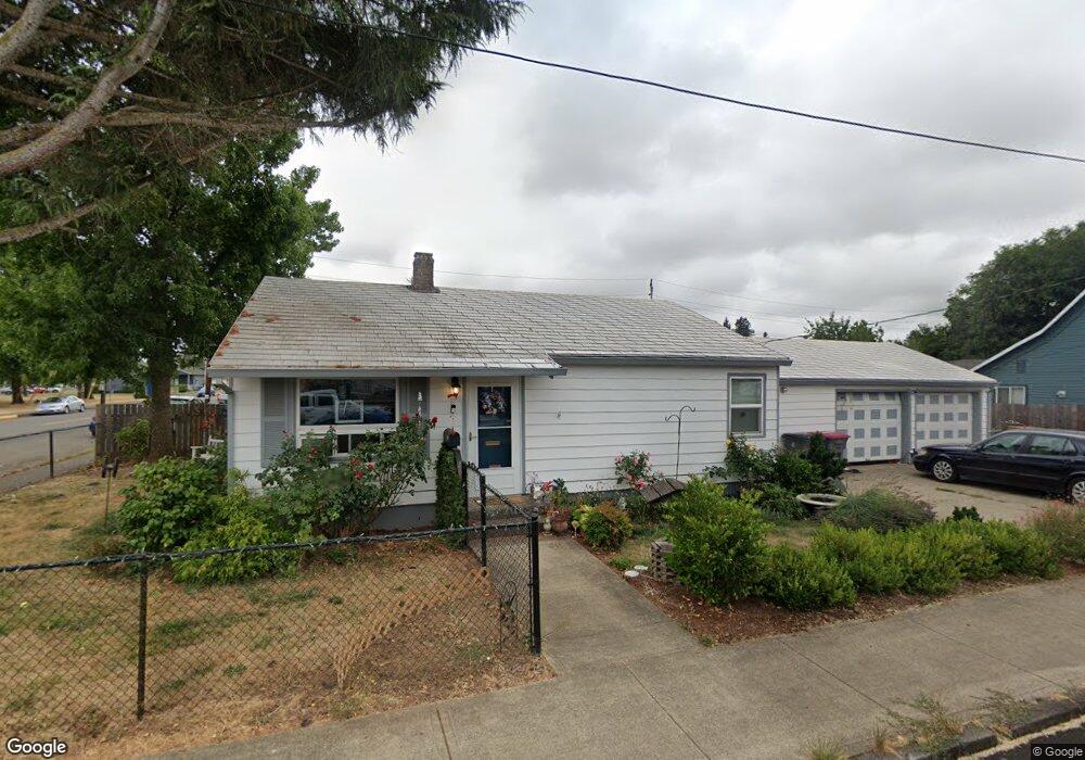
420 S Bridge St Sheridan, OR 97378
Estimated Value: $260,898 - $316,000
2
Beds
1
Bath
964
Sq Ft
$303/Sq Ft
Est. Value
About This Home
This home is located at 420 S Bridge St, Sheridan, OR 97378 and is currently estimated at $292,475, approximately $303 per square foot. 420 S Bridge St is a home located in Yamhill County with nearby schools including Faulconer-Chapman School, Sheridan High School, and Sheridan Allprep Academy.
Ownership History
Date
Name
Owned For
Owner Type
Purchase Details
Closed on
Aug 22, 2025
Sold by
Loucks Kimberly L
Bought by
Loucks Kimberly L and Loucks Walter Michael
Current Estimated Value
Purchase Details
Closed on
Apr 7, 2025
Sold by
Labonte Gail E and Loucks Kimberly L
Bought by
Loucks Kimberly L
Purchase Details
Closed on
Nov 4, 2014
Sold by
Labonte Eugene R and Labonte Gail E
Bought by
Labonte Eugene R and Labonte Gail E
Create a Home Valuation Report for This Property
The Home Valuation Report is an in-depth analysis detailing your home's value as well as a comparison with similar homes in the area
Home Values in the Area
Average Home Value in this Area
Purchase History
| Date | Buyer | Sale Price | Title Company |
|---|---|---|---|
| Loucks Kimberly L | -- | None Listed On Document | |
| Loucks Kimberly L | -- | None Listed On Document | |
| Labonte Eugene R | -- | None Available |
Source: Public Records
Tax History Compared to Growth
Tax History
| Year | Tax Paid | Tax Assessment Tax Assessment Total Assessment is a certain percentage of the fair market value that is determined by local assessors to be the total taxable value of land and additions on the property. | Land | Improvement |
|---|---|---|---|---|
| 2025 | $1,322 | $97,519 | -- | -- |
| 2024 | $1,214 | $94,679 | -- | -- |
| 2023 | $1,179 | $91,921 | $0 | $0 |
| 2022 | $1,146 | $89,244 | $0 | $0 |
| 2021 | $1,297 | $86,645 | $0 | $0 |
| 2020 | $1,253 | $84,121 | $0 | $0 |
| 2019 | $1,231 | $81,671 | $0 | $0 |
| 2018 | $1,065 | $74,087 | $0 | $0 |
| 2017 | $1,036 | $71,238 | $0 | $0 |
| 2016 | $1,036 | $71,238 | $0 | $0 |
| 2015 | $1,013 | $69,312 | $0 | $0 |
| 2014 | $1,002 | $68,368 | $0 | $0 |
Source: Public Records
Map
Nearby Homes
- 518 S Bridge St
- 204 SW Water St
- 243 SE Harney St
- 240 SW Jefferson St
- 740 SE Alicia St
- 419 SE Sheridan Rd
- 370 NW Yamhill St
- 503 SE Sheridan Rd Unit 8
- 328 NW Sherman St
- 515 SE Sheridan Rd
- 515 SE Sheridan Rd Unit 6
- 119 NW Sherman St
- 617 SW Monroe St
- 634 E Main St
- 0 Highway 18 (Ta 635db00400)
- 240 NW Sagan Loop
- 347 NE Oak St
- 0 NW Viola St
- 245 NE Balm St
- 510 NE Hill St
- 106 SW Railroad St
- 116 SW Railroad St
- 115 SW Harrison St
- 123 SW Harrison St
- 128 SW Railroad St
- 125 SW Harrison St Unit 1
- 125 SW Harrison St
- 110 SW Harrison St
- 112 SW Harrison St
- 134 SW Railroad St
- 137 SW Harrison St
- 110 SW Harrison (-112) St
- 120 SW Harrison St
- 143 SW Harrison St
- 126 SW Harrison St
- 405 SW 1st St
- 134 SW Harrison St
- 147 SW Harrison St
- 542 S Bridge St
- 107 SW Madison St