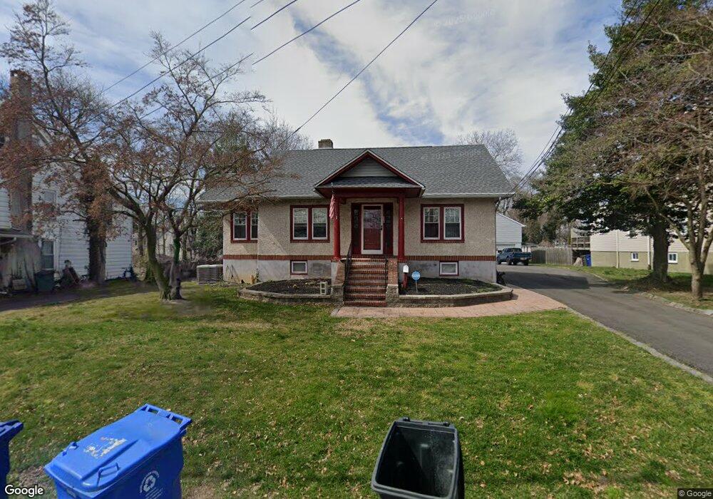
420 S Coles Ave Maple Shade, NJ 08052
Estimated Value: $286,229 - $383,000
Studio
--
Bath
1,430
Sq Ft
$239/Sq Ft
Est. Value
About This Home
This home is located at 420 S Coles Ave, Maple Shade, NJ 08052 and is currently estimated at $341,557, approximately $238 per square foot. 420 S Coles Ave is a home located in Burlington County with nearby schools including Maude M. Wilkins Elementary School, Ralph J Steinhauer Elementary School, and Howard R Yocum School.
Ownership History
Date
Name
Owned For
Owner Type
Purchase Details
Closed on
Sep 1, 2005
Sold by
Beatrice Dorothy M
Bought by
Beatrice Dorothy M
Current Estimated Value
Home Financials for this Owner
Home Financials are based on the most recent Mortgage that was taken out on this home.
Original Mortgage
$106,000
Interest Rate
6.31%
Mortgage Type
Fannie Mae Freddie Mac
Create a Home Valuation Report for This Property
The Home Valuation Report is an in-depth analysis detailing your home's value as well as a comparison with similar homes in the area
Home Values in the Area
Average Home Value in this Area
Purchase History
| Date | Buyer | Sale Price | Title Company |
|---|---|---|---|
| Beatrice Dorothy M | -- | None Available |
Source: Public Records
Mortgage History
| Date | Status | Borrower | Loan Amount |
|---|---|---|---|
| Closed | Beatrice Dorothy M | $106,000 |
Source: Public Records
Tax History
| Year | Tax Paid | Tax Assessment Tax Assessment Total Assessment is a certain percentage of the fair market value that is determined by local assessors to be the total taxable value of land and additions on the property. | Land | Improvement |
|---|---|---|---|---|
| 2025 | $6,582 | $173,400 | $47,700 | $125,700 |
| 2024 | $6,392 | $173,400 | $47,700 | $125,700 |
| 2023 | $6,392 | $173,400 | $47,700 | $125,700 |
| 2022 | $6,232 | $173,400 | $47,700 | $125,700 |
| 2021 | $5,797 | $173,400 | $47,700 | $125,700 |
| 2020 | $6,249 | $173,400 | $47,700 | $125,700 |
| 2019 | $6,020 | $173,400 | $47,700 | $125,700 |
| 2018 | $5,916 | $173,400 | $47,700 | $125,700 |
| 2017 | $5,847 | $173,400 | $47,700 | $125,700 |
| 2016 | $5,760 | $173,400 | $47,700 | $125,700 |
| 2015 | $5,636 | $173,400 | $47,700 | $125,700 |
| 2014 | $5,464 | $173,400 | $47,700 | $125,700 |
Source: Public Records
Map
Nearby Homes
- 21 Paul Rd
- 11 Rose Ave
- 5 Paul Rd
- 6 Woodbine Ave
- 35 Farnsworth Ave
- 9 Woodbine Ave
- 66 W Center Ave
- 427 Cutler Ave
- 57 S Terrace Ave
- 1720 Media Rd
- 47 S Lippincott Ave
- 304 S Forklanding Rd
- 305 Oak Ave
- 215 Chestnut St
- 25 Appley Ct
- 37 James Run
- 306 Cherry Hill Blvd
- 206 S Maple Ave
- 61 S Maple Ave
- 42 Spruce Ave
- 412 S Coles Ave
- 426 S Coles Ave Unit 28
- 406 S Coles Ave
- 415 Rynning Ave
- 414 Florence Ave
- 419 Rynning Ave
- 402 S Coles Ave
- 418 Florence Ave
- 427 Rynning Ave
- 418 Rynning Ave
- 422 Florence Ave
- 328 S Coles Ave
- 331 S Coles Ave
- 424 Rynning Ave
- 415 Florence Ave
- 426 Florence Ave
- 324 S Coles Ave
- 435 Rynning Ave
- 430 Florence Ave
- 320 S Coles Ave
Your Personal Tour Guide
Ask me questions while you tour the home.