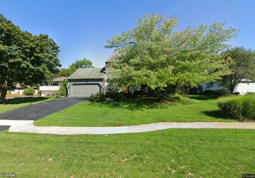
420 S Forest Ave Batavia, IL 60510
Southeast Batavia NeighborhoodEstimated Value: $459,004 - $495,000
4
Beds
3
Baths
2,108
Sq Ft
$227/Sq Ft
Est. Value
About This Home
This home is located at 420 S Forest Ave, Batavia, IL 60510 and is currently estimated at $478,751, approximately $227 per square foot. 420 S Forest Ave is a home located in Kane County with nearby schools including J B Nelson Elementary School, Sam Rotolo Middle School, and Batavia Sr High School.
Ownership History
Date
Name
Owned For
Owner Type
Purchase Details
Closed on
Nov 1, 2016
Sold by
Oxford Bank & Trust
Bought by
Stevenson Michael T and Stevenson Anita T
Current Estimated Value
Purchase Details
Closed on
Jun 4, 2012
Sold by
Stevenson Michael T and Stevenson Anita T
Bought by
Oxford Bank & Trust
Purchase Details
Closed on
Nov 14, 2011
Sold by
Oxford Bank & Trust
Bought by
Stevenson Michael T and Stevenson Anita T
Home Financials for this Owner
Home Financials are based on the most recent Mortgage that was taken out on this home.
Original Mortgage
$227,600
Interest Rate
4.11%
Mortgage Type
New Conventional
Purchase Details
Closed on
Jun 8, 2010
Sold by
Stevenson Michael T and Stevenson Anita T
Bought by
Oxford Bank & Trust and Trust #1651
Purchase Details
Closed on
Sep 30, 2009
Sold by
Felt Steven A and Felt Diane E
Bought by
Stevenson Michael and Stevenson Anita
Home Financials for this Owner
Home Financials are based on the most recent Mortgage that was taken out on this home.
Original Mortgage
$228,000
Interest Rate
5.19%
Mortgage Type
New Conventional
Create a Home Valuation Report for This Property
The Home Valuation Report is an in-depth analysis detailing your home's value as well as a comparison with similar homes in the area
Home Values in the Area
Average Home Value in this Area
Purchase History
| Date | Buyer | Sale Price | Title Company |
|---|---|---|---|
| Stevenson Michael T | -- | None Available | |
| Oxford Bank & Trust | -- | None Available | |
| Stevenson Michael T | -- | Carrington Title Partners Ll | |
| Oxford Bank & Trust | -- | None Available | |
| Stevenson Michael | $285,000 | Chicago Title Insurance Co |
Source: Public Records
Mortgage History
| Date | Status | Borrower | Loan Amount |
|---|---|---|---|
| Previous Owner | Stevenson Michael T | $227,600 | |
| Previous Owner | Stevenson Michael | $228,000 |
Source: Public Records
Tax History Compared to Growth
Tax History
| Year | Tax Paid | Tax Assessment Tax Assessment Total Assessment is a certain percentage of the fair market value that is determined by local assessors to be the total taxable value of land and additions on the property. | Land | Improvement |
|---|---|---|---|---|
| 2024 | $8,889 | $120,423 | $28,710 | $91,713 |
| 2023 | $8,692 | $109,296 | $26,057 | $83,239 |
| 2022 | $8,395 | $102,145 | $24,352 | $77,793 |
| 2021 | $8,056 | $96,875 | $23,096 | $73,779 |
| 2020 | $7,856 | $95,013 | $22,652 | $72,361 |
| 2019 | $7,724 | $91,649 | $21,850 | $69,799 |
| 2018 | $7,413 | $88,158 | $21,018 | $67,140 |
| 2017 | $7,230 | $85,251 | $20,325 | $64,926 |
| 2016 | $7,074 | $82,768 | $19,733 | $63,035 |
| 2015 | -- | $80,884 | $19,284 | $61,600 |
| 2014 | -- | $78,338 | $18,677 | $59,661 |
| 2013 | -- | $83,932 | $25,435 | $58,497 |
Source: Public Records
Map
Nearby Homes
- 621 Young Ave
- Lot 1 Center St
- 129 S Prairie St
- 637 E Wilson St
- 428 E Wilson St
- Lot 4 Manchester Ave
- 1136 Pine Ct
- 1025 E Wilson St
- 1017 Willow Ln Unit 2
- 304 Manchester Ave
- 860 S River St
- 817 Woodland Hills Rd
- 1267 Foxglove Dr
- 1273 Foxglove Dr
- 1277 Foxglove Dr
- 1283 Foxglove Dr
- 1285 Foxglove Dr
- 943 Orchard Ct
- 221 Elm St
- 323 Church St
- 412 S Forest Ave
- 424 S Forest Ave
- 354 S Forest Ave
- 430 S Forest Ave
- 725 Newberry Dr
- 419 S Forest Ave
- 405 S Forest Ave
- 429 S Forest Ave
- 312 S Forest Ave
- 735 Newberry Dr
- 506 S Forest Ave
- 345 S Forest Ave
- 439 S Forest Ave
- 318 S Forest Ave
- 523 Stewart St
- 513 Stewart St
- 533 Stewart St
- 503 Stewart St
- 302 S Forest Ave
- 745 Newberry Dr