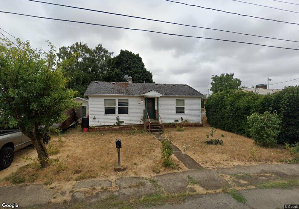
420 SE Grant St Sheridan, OR 97378
Estimated Value: $231,000 - $287,000
2
Beds
1
Bath
900
Sq Ft
$301/Sq Ft
Est. Value
About This Home
This home is located at 420 SE Grant St, Sheridan, OR 97378 and is currently estimated at $270,786, approximately $300 per square foot. 420 SE Grant St is a home located in Yamhill County with nearby schools including Faulconer-Chapman School, Sheridan High School, and Sheridan Allprep Academy.
Ownership History
Date
Name
Owned For
Owner Type
Purchase Details
Closed on
Nov 13, 2014
Sold by
Aaron Properties Llc
Bought by
Stone Kathleen M
Current Estimated Value
Home Financials for this Owner
Home Financials are based on the most recent Mortgage that was taken out on this home.
Original Mortgage
$100,000
Outstanding Balance
$76,613
Interest Rate
4.16%
Mortgage Type
New Conventional
Estimated Equity
$194,173
Purchase Details
Closed on
Aug 25, 2014
Sold by
Muller Cheryl
Bought by
Aaron Properties Llc
Create a Home Valuation Report for This Property
The Home Valuation Report is an in-depth analysis detailing your home's value as well as a comparison with similar homes in the area
Home Values in the Area
Average Home Value in this Area
Purchase History
| Date | Buyer | Sale Price | Title Company |
|---|---|---|---|
| Stone Kathleen M | $98,000 | Western Title & Escrow | |
| Aaron Properties Llc | -- | Western Title & Escrow |
Source: Public Records
Mortgage History
| Date | Status | Borrower | Loan Amount |
|---|---|---|---|
| Open | Stone Kathleen M | $100,000 |
Source: Public Records
Tax History Compared to Growth
Tax History
| Year | Tax Paid | Tax Assessment Tax Assessment Total Assessment is a certain percentage of the fair market value that is determined by local assessors to be the total taxable value of land and additions on the property. | Land | Improvement |
|---|---|---|---|---|
| 2025 | $1,438 | $106,112 | -- | -- |
| 2024 | $1,321 | $103,021 | -- | -- |
| 2023 | $1,283 | $100,020 | $0 | $0 |
| 2022 | $1,247 | $97,107 | $0 | $0 |
| 2021 | $1,412 | $94,279 | $0 | $0 |
| 2020 | $1,364 | $91,533 | $0 | $0 |
| 2019 | $1,340 | $88,867 | $0 | $0 |
| 2018 | $1,302 | $86,279 | $0 | $0 |
| 2017 | $1,278 | $83,766 | $0 | $0 |
| 2016 | $1,241 | $81,326 | $0 | $0 |
| 2015 | $1,211 | $78,959 | $0 | $0 |
| 2014 | $1,178 | $76,661 | $0 | $0 |
Source: Public Records
Map
Nearby Homes
- 419 SE Sheridan Rd
- 503 SE Sheridan Rd Unit 8
- 515 SE Sheridan Rd
- 515 SE Sheridan Rd Unit 6
- 243 SE Harney St
- 634 E Main St
- 740 SE Alicia St
- 518 S Bridge St
- 0 Highway 18 (Ta 635db00400)
- 245 NE Balm St
- 204 SW Water St
- 347 NE Oak St
- 611 NE Bockes Loop
- 119 NW Sherman St
- 240 SW Jefferson St
- 370 NW Yamhill St
- 328 NW Sherman St
- 785 NE Blair St
- 510 NE Hill St
- 1200 Blk NE Center St Unit Parcel 4
- 428 SE Grant St
- 412 SE Grant St
- 432 SE Grant St
- 417 SE Edison St
- 427 SE Edison St
- 421 SE Grant St
- 408 SE Grant St
- 436 SE Grant St
- 438 SE Grant St
- 413 SE Grant St
- 438 SE Sheridan Rd
- 331 SE Dewey St
- 428 SE Edison St
- 442 SE Sheridan Rd
- 426 SE Sheridan Rd
- 420 SE Sheridan Rd
- 322 SE Clark St
- 432 SE Clark St
- 414 SE Sheridan Rd Unit 1
- 414 SE Sheridan Rd