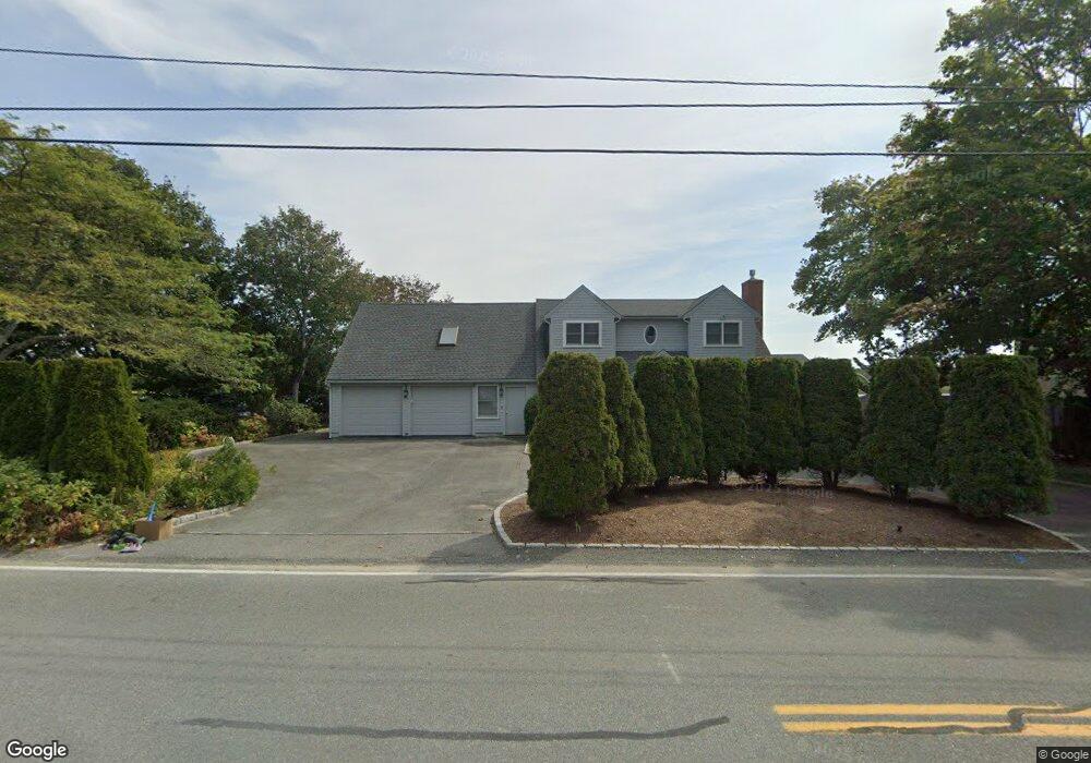
420 Seacoast Shores Blvd East Falmouth, MA 02536
Estimated Value: $1,540,137 - $2,658,000
4
Beds
3
Baths
2,701
Sq Ft
$712/Sq Ft
Est. Value
About This Home
This home is located at 420 Seacoast Shores Blvd, East Falmouth, MA 02536 and is currently estimated at $1,923,534, approximately $712 per square foot. 420 Seacoast Shores Blvd is a home located in Barnstable County with nearby schools including East Falmouth Elementary School, Morse Pond School, and Lawrence School.
Ownership History
Date
Name
Owned For
Owner Type
Purchase Details
Closed on
Feb 22, 2019
Sold by
2 Sheehan Circle T and Maine
Bought by
Seacoast Shores 420 Rt and Fitzgerald
Current Estimated Value
Purchase Details
Closed on
Jan 18, 1996
Sold by
Plunkett William H and Plunkett Jacqueline L
Bought by
2 Sheehan Circle T and Maine
Create a Home Valuation Report for This Property
The Home Valuation Report is an in-depth analysis detailing your home's value as well as a comparison with similar homes in the area
Home Values in the Area
Average Home Value in this Area
Purchase History
| Date | Buyer | Sale Price | Title Company |
|---|---|---|---|
| Seacoast Shores 420 Rt | -- | -- | |
| Seacoast Shores 420 Rt | -- | -- | |
| 2 Sheehan Circle T | $450,000 | -- | |
| 2 Sheehan Circle T | $450,000 | -- |
Source: Public Records
Tax History Compared to Growth
Tax History
| Year | Tax Paid | Tax Assessment Tax Assessment Total Assessment is a certain percentage of the fair market value that is determined by local assessors to be the total taxable value of land and additions on the property. | Land | Improvement |
|---|---|---|---|---|
| 2025 | $8,178 | $1,393,200 | $802,400 | $590,800 |
| 2024 | $7,997 | $1,273,400 | $729,400 | $544,000 |
| 2023 | $8,353 | $1,207,100 | $729,400 | $477,700 |
| 2022 | $8,093 | $1,005,400 | $604,700 | $400,700 |
| 2021 | $7,988 | $939,800 | $578,400 | $361,400 |
| 2020 | $7,621 | $887,200 | $525,800 | $361,400 |
| 2019 | $7,537 | $880,500 | $525,800 | $354,700 |
| 2018 | $7,366 | $845,600 | $525,800 | $319,800 |
| 2017 | $7,100 | $832,300 | $525,800 | $306,500 |
| 2016 | $6,966 | $832,300 | $525,800 | $306,500 |
| 2015 | $6,817 | $832,300 | $525,800 | $306,500 |
| 2014 | $6,747 | $827,800 | $525,800 | $302,000 |
Source: Public Records
Map
Nearby Homes
- 381 Seacoast Shores Blvd
- 72 Woodside Dr
- 285 Edgewater Dr W
- 0 Tobey Ln
- 23 N Bournes Pond Rd
- 23 N Bournes Pond Rd
- 63 Ellsworth Dr
- 64 Ellsworth Dr
- 231 Edgewater Dr W
- 16A Pacheco Path
- 16 Pacheco Path Unit 1-A100-B
- 16 Pacheco Path
- 11 Pershing Dr
- 472 & 474 Davisville Rd
- 241 Davisville Rd
- 7 Yale Dr
- 36 Sadys Ln
- LOTA Commodore Ln
- 37 Seashell Ln
- 426 Seacoast Shores Blvd
- 414 Seacoast Shores Blvd
- 430 Seacoast Shores Blvd
- 410 Seacoast Shores Blvd
- 0 Edgewater Dr W
- 7 Farview Ln
- 405 Seacoast Blvd
- 405 Seacoast Shores Blvd
- 434 Seacoast Shores Blvd
- 406 Seacoast Shores Blvd
- 22 Fenwick Rd
- 13 Farview Ln
- 438 Seacoast Shores Blvd
- 18 Fenwick Rd
- 399 Seacoast Shores Blvd
- 402 Seacoast Shores Blvd
- 17 Farview Ln
- 23 Ormond Dr
- 21 Farview Ln
- 400 Edgewater Dr E