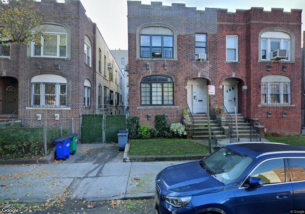
420 Sterling St Brooklyn, NY 11225
East Flatbush NeighborhoodEstimated Value: $1,516,948 - $2,317,000
--
Bed
--
Bath
3,008
Sq Ft
$640/Sq Ft
Est. Value
About This Home
This home is located at 420 Sterling St, Brooklyn, NY 11225 and is currently estimated at $1,923,737, approximately $639 per square foot. 420 Sterling St is a home located in Kings County with nearby schools including P.S. 91 The Albany Avenue School, M.S. 61 Dr. Gladstone H. Atwell Middle School, and Success Academy Crown Heights.
Ownership History
Date
Name
Owned For
Owner Type
Purchase Details
Closed on
Sep 6, 2017
Sold by
Estate Of Riwa Pewzner
Bought by
Spritzer Brocha and Spritzer Schneur Zalman
Current Estimated Value
Home Financials for this Owner
Home Financials are based on the most recent Mortgage that was taken out on this home.
Original Mortgage
$800,000
Outstanding Balance
$668,416
Interest Rate
3.92%
Mortgage Type
Unknown
Estimated Equity
$1,255,321
Create a Home Valuation Report for This Property
The Home Valuation Report is an in-depth analysis detailing your home's value as well as a comparison with similar homes in the area
Home Values in the Area
Average Home Value in this Area
Purchase History
| Date | Buyer | Sale Price | Title Company |
|---|---|---|---|
| Spritzer Brocha | $1,275,000 | -- |
Source: Public Records
Mortgage History
| Date | Status | Borrower | Loan Amount |
|---|---|---|---|
| Open | Spritzer Brocha | $800,000 |
Source: Public Records
Tax History Compared to Growth
Tax History
| Year | Tax Paid | Tax Assessment Tax Assessment Total Assessment is a certain percentage of the fair market value that is determined by local assessors to be the total taxable value of land and additions on the property. | Land | Improvement |
|---|---|---|---|---|
| 2025 | $7,905 | $94,800 | $23,820 | $70,980 |
| 2024 | $7,905 | $110,040 | $23,820 | $86,220 |
| 2023 | $7,541 | $104,640 | $23,820 | $80,820 |
| 2022 | $6,994 | $86,940 | $23,820 | $63,120 |
| 2021 | $7,373 | $69,420 | $23,820 | $45,600 |
| 2020 | $5,530 | $74,700 | $23,820 | $50,880 |
| 2019 | $6,861 | $68,100 | $23,820 | $44,280 |
| 2018 | $6,308 | $30,943 | $15,222 | $15,721 |
| 2017 | $5,952 | $29,196 | $12,423 | $16,773 |
| 2016 | $5,837 | $29,196 | $14,672 | $14,524 |
| 2015 | $3,322 | $28,972 | $10,703 | $18,269 |
| 2014 | $3,322 | $27,333 | $12,111 | $15,222 |
Source: Public Records
Map
Nearby Homes
- 400 Lefferts Ave
- 464 E New York Ave
- 20 Lamont Ct
- 407 Lincoln Rd
- 11 Miami Ct
- 556 E New York Ave
- 446 Kingston Ave Unit D9
- 406 Midwood St Unit PHA
- 406 Midwood St Unit 1 B
- 406 Midwood St Unit 2 A
- 406 Midwood St Unit 1 A
- 487 Midwood St
- 1074 Nostrand Ave
- 1105 Nostrand Ave
- 421 Crown St Unit 16R
- 421 Crown St Unit 18R
- 337 Lincoln Rd Unit 2-L
- 343 Rutland Rd
- 340 Lincoln Rd
- 624 E New York Ave Unit 2B
- 424 Sterling St
- 418 Sterling St
- 426 Sterling St
- 414 Sterling St
- 430 Sterling St
- 412 Sterling St
- 415 Lefferts Ave Unit A-11
- 415 Lefferts Ave Unit 96
- 432 Sterling St
- 408 Sterling St
- 436 Sterling St
- 438 Sterling St
- 442 Sterling St
- 421 Sterling St
- 417 Sterling St
- 425 Sterling St
- 427 Sterling St
- 431 Sterling St
- 444 Sterling St
- 433 Sterling St