420 Tidal Dr Beach Haven, NJ 08008
Long Beach Island NeighborhoodEstimated Value: $5,432,927 - $8,159,000
4
Beds
5
Baths
5,582
Sq Ft
$1,158/Sq Ft
Est. Value
About This Home
This home is located at 420 Tidal Dr, Beach Haven, NJ 08008 and is currently estimated at $6,462,642, approximately $1,157 per square foot. 420 Tidal Dr is a home located in Ocean County with nearby schools including Ethel A. Jacobsen Elementary School, Long Beach Island Grade School, and Southern Regional Middle School.
Ownership History
Date
Name
Owned For
Owner Type
Purchase Details
Closed on
Sep 30, 2022
Sold by
Tidal Drive East Llc
Bought by
New Jersey Department Of Environmental Protec
Current Estimated Value
Purchase Details
Closed on
Dec 6, 2017
Sold by
Spitznagel John
Bought by
Tidal Drive West Llc
Purchase Details
Closed on
Jan 31, 2008
Sold by
Spitznagel John and Spitznagel Mary Ann
Bought by
Spitz House Trust 17
Purchase Details
Closed on
Jan 13, 1996
Sold by
Raab Max
Bought by
Frank Alvino and Alvino Bernadette
Home Financials for this Owner
Home Financials are based on the most recent Mortgage that was taken out on this home.
Original Mortgage
$1,000,000
Interest Rate
7.13%
Create a Home Valuation Report for This Property
The Home Valuation Report is an in-depth analysis detailing your home's value as well as a comparison with similar homes in the area
Home Values in the Area
Average Home Value in this Area
Purchase History
| Date | Buyer | Sale Price | Title Company |
|---|---|---|---|
| New Jersey Department Of Environmental Protec | -- | -- | |
| Tidal Drive West Llc | $3,250,000 | -- | |
| Spitz House Trust 17 | -- | None Available | |
| Spitz House Trust 18 | -- | None Available | |
| Frank Alvino | $1,850,000 | -- |
Source: Public Records
Mortgage History
| Date | Status | Borrower | Loan Amount |
|---|---|---|---|
| Previous Owner | Frank Alvino | $1,000,000 |
Source: Public Records
Tax History Compared to Growth
Tax History
| Year | Tax Paid | Tax Assessment Tax Assessment Total Assessment is a certain percentage of the fair market value that is determined by local assessors to be the total taxable value of land and additions on the property. | Land | Improvement |
|---|---|---|---|---|
| 2025 | $42,520 | $6,590,500 | $3,800,000 | $2,790,500 |
| 2024 | $42,235 | $4,761,500 | $3,800,000 | $961,500 |
| 2023 | $39,616 | $4,761,500 | $3,800,000 | $961,500 |
| 2022 | $39,616 | $4,761,500 | $3,800,000 | $961,500 |
| 2021 | $38,378 | $4,761,500 | $3,800,000 | $961,500 |
| 2020 | $42,289 | $4,254,400 | $3,475,000 | $779,400 |
| 2019 | $42,672 | $4,254,400 | $3,475,000 | $779,400 |
| 2018 | $41,395 | $4,254,400 | $3,475,000 | $779,400 |
| 2017 | $41,608 | $4,254,400 | $3,475,000 | $779,400 |
| 2016 | $41,948 | $4,254,400 | $3,475,000 | $779,400 |
| 2015 | $41,906 | $4,254,400 | $3,475,000 | $779,400 |
| 2014 | $40,794 | $4,245,000 | $3,475,000 | $770,000 |
Source: Public Records
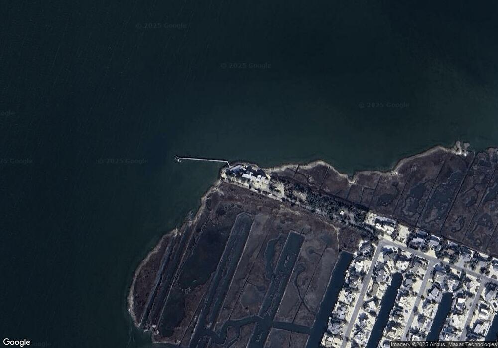
Map
Nearby Homes
- 365 Dusty Miller Dr
- 337 Cranberry Dr
- 166C Marina Blvd
- 128 Long Beach Blvd
- 215 Nautilus Dr
- 129 Long Beach Blvd
- 113 Laguna Ln
- 24 Beacon Dr
- 18 Panorama Dr
- 41 W Holly Dr
- 40 Long Beach Blvd Unit C
- 60 W Holly Dr
- 2 W 29th St
- 2708 Bayview Ave
- 10 Long Beach Blvd
- 46 Adrian Rd
- 2006 Central Ave
- 29 Amherst Rd
- 26 Butler Rd
- 6 Collier Rd
- 419 Tidal Dr
- 364 Dusty Miller Dr
- 414 Tidal Dr
- 363 Dusty Miller Dr Bayfront
- 363 Dusty Miller Dr
- 362 Dusty Miller Dr
- 343 Dusty Miller Dr
- 361 Dusty Miller Dr
- 344 Dusty Miller Dr
- 345 Dusty Miller Dr
- 360 Dusty Miller Dr
- 342 Tidal Dr
- 346 Dusty Miller Dr
- 412 Tidal Dr
- 359 Dusty Miller Dr
- 347 Dusty Miller Dr
- 341 Cranberry Dr
- 340 Cranberry Dr
- 348 Dusty Miller Dr
- 358 Dusty Miller Dr