420 Upper Garland Rd Dexter, ME 04930
Estimated Value: $134,681 - $247,000
--
Bed
--
Bath
--
Sq Ft
2.1
Acres
About This Home
This home is located at 420 Upper Garland Rd, Dexter, ME 04930 and is currently estimated at $191,420. 420 Upper Garland Rd is a home located in Penobscot County with nearby schools including Ridge View Community School, Dexter Regional High School, and Dexter Christian Academy.
Ownership History
Date
Name
Owned For
Owner Type
Purchase Details
Closed on
May 27, 2014
Sold by
Linnell Christine M and Linnell Thomas A
Bought by
Linnell Thomas A
Current Estimated Value
Purchase Details
Closed on
Oct 16, 2007
Sold by
Tucker Amie L
Bought by
Linnell Thomas A and Linnell Christine M
Home Financials for this Owner
Home Financials are based on the most recent Mortgage that was taken out on this home.
Original Mortgage
$76,966
Outstanding Balance
$48,306
Interest Rate
6.49%
Mortgage Type
FHA
Estimated Equity
$143,114
Create a Home Valuation Report for This Property
The Home Valuation Report is an in-depth analysis detailing your home's value as well as a comparison with similar homes in the area
Home Values in the Area
Average Home Value in this Area
Purchase History
| Date | Buyer | Sale Price | Title Company |
|---|---|---|---|
| Linnell Thomas A | -- | -- | |
| Linnell Thomas A | -- | -- | |
| Linnell Thomas A | -- | -- |
Source: Public Records
Mortgage History
| Date | Status | Borrower | Loan Amount |
|---|---|---|---|
| Open | Linnell Thomas A | $76,966 | |
| Closed | Linnell Thomas A | $76,966 |
Source: Public Records
Tax History Compared to Growth
Tax History
| Year | Tax Paid | Tax Assessment Tax Assessment Total Assessment is a certain percentage of the fair market value that is determined by local assessors to be the total taxable value of land and additions on the property. | Land | Improvement |
|---|---|---|---|---|
| 2024 | $1,521 | $77,600 | $22,800 | $54,800 |
| 2023 | $1,531 | $77,700 | $22,900 | $54,800 |
| 2022 | $1,512 | $75,600 | $20,800 | $54,800 |
| 2021 | $1,482 | $75,600 | $20,800 | $54,800 |
| 2020 | $1,482 | $75,600 | $20,800 | $54,800 |
| 2019 | $1,482 | $75,600 | $20,800 | $54,800 |
| 2018 | $1,482 | $75,600 | $20,800 | $54,800 |
| 2017 | $1,444 | $75,600 | $20,800 | $54,800 |
| 2016 | $1,406 | $75,600 | $20,800 | $54,800 |
| 2015 | $1,406 | $75,600 | $20,800 | $54,800 |
| 2014 | $1,338 | $75,600 | $20,800 | $54,800 |
Source: Public Records
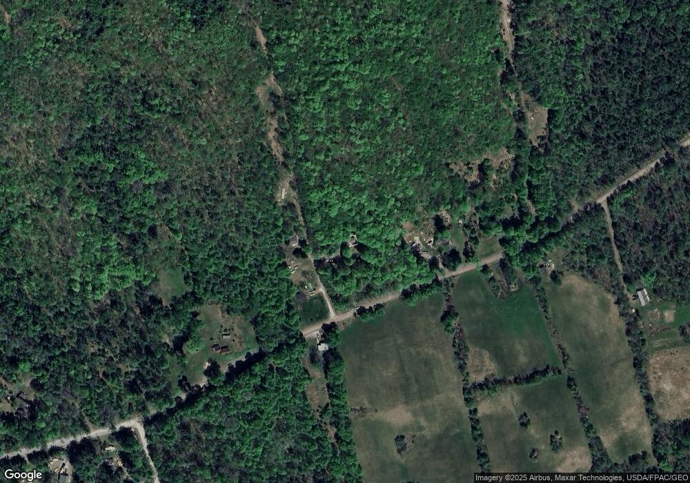
Map
Nearby Homes
- 430 Upper Garland Rd
- 2 Post Ln
- 475 Upper Garland Rd
- 444 Upper Garland Rd
- 410 Upper Garland Rd
- 455 Upper Garland Rd
- 4 Post Ln
- 446 Upper Garland Rd
- 390 Upper Garland Rd
- 11 Wing Rd
- 407 Upper Garland Rd
- 378 Upper Garland Rd
- 397 Upper Garland Rd
- 31 Wing Rd
- 53 Wing Rd
- 51 Wing Rd
- 66 Wing Rd
- 508 Upper Garland Rd
- 20 Post Rd
- 515 Upper Garland Rd