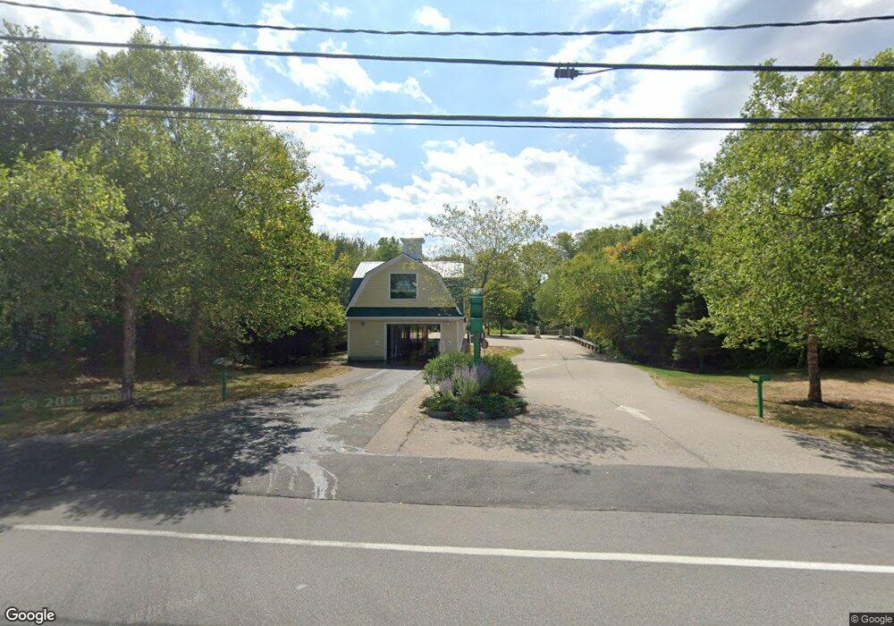
420 Us Route 1 Kittery, ME 03904
2
Beds
1
Bath
1,338
Sq Ft
34,848
Sq Ft
About This Home
This home is located at 420 Us Route 1, Kittery, ME 03904. 420 Us Route 1 is a home located in York County with nearby schools including Shapleigh School, Horace Mitchell Primary School, and Robert W Traip Academy.
Ownership History
Date
Name
Owned For
Owner Type
Purchase Details
Closed on
May 4, 2011
Sold by
Gendron Meredith
Bought by
Wjds Llc
Home Financials for this Owner
Home Financials are based on the most recent Mortgage that was taken out on this home.
Original Mortgage
$120,000
Outstanding Balance
$83,164
Interest Rate
4.82%
Mortgage Type
Commercial
Purchase Details
Closed on
Jul 16, 2008
Sold by
Carder Marjorie C Est
Bought by
Gendron Meredith
Create a Home Valuation Report for This Property
The Home Valuation Report is an in-depth analysis detailing your home's value as well as a comparison with similar homes in the area
Home Values in the Area
Average Home Value in this Area
Purchase History
| Date | Buyer | Sale Price | Title Company |
|---|---|---|---|
| Wjds Llc | -- | -- | |
| Gendron Meredith | -- | -- | |
| Gendron Meredith | -- | -- |
Source: Public Records
Mortgage History
| Date | Status | Borrower | Loan Amount |
|---|---|---|---|
| Open | Wjds Llc | $120,000 |
Source: Public Records
Tax History
| Year | Tax Paid | Tax Assessment Tax Assessment Total Assessment is a certain percentage of the fair market value that is determined by local assessors to be the total taxable value of land and additions on the property. | Land | Improvement |
|---|---|---|---|---|
| 2024 | $9,699 | $683,000 | $518,700 | $164,300 |
| 2023 | $9,296 | $683,000 | $518,700 | $164,300 |
| 2022 | $9,207 | $683,000 | $518,700 | $164,300 |
| 2021 | $8,879 | $683,000 | $518,700 | $164,300 |
| 2020 | $2,675 | $683,000 | $518,700 | $164,300 |
| 2019 | $5,737 | $524,600 | $207,300 | $317,300 |
| 2018 | $8,418 | $524,600 | $207,300 | $317,300 |
| 2017 | $2,602 | $524,600 | $207,300 | $317,300 |
| 2016 | $8,420 | $524,600 | $207,300 | $317,300 |
| 2015 | $8,220 | $524,600 | $207,300 | $317,300 |
| 2014 | $8,142 | $524,600 | $207,300 | $317,300 |
| 2013 | $7,984 | $524,600 | $207,300 | $317,300 |
Source: Public Records
Map
Nearby Homes
- 10 Lewis Rd
- 30 Drake Ln
- 19 Seward Farm Ln
- 50 Lewis Rd
- 59 Sandalwood Cir
- 49 Sandalwood Cir
- 20 Colony Way
- 14 Colony Way
- 3 Izzy Ln
- 8 Spruce Point Rd
- 100 Shepard's Cove Rd Unit F204
- 100 Shepard's Cove Rd Unit G107
- 100 Shepards Cove Rd Unit F204
- 13 Washburn Farm Ln Unit 7
- 19 Aspen Cir
- 75 Caincrest Rd
- 2 Woodside Meadow Rd
- 18 Washburn Farm Ln Unit 4
- 25 Bartlett Rd
- 7 Washburn Farm Ln Unit 9
- 424 Us Route 1
- 421 U S 1
- 421 Us Route 1
- 410 Us Rt 1 Route
- 410 Us Route 1
- 428 U S 1
- 432 U S Route 1
- 432 Us Route 1
- 112 Blackberry Place
- 436 U S Rte 1
- 436 Us Route 1
- 111 Blackberry Place
- 59 Yankee Green
- 113 Blackberry Place
- 84 Blackberry Place
- 86 Blackberry Place
- 86 Blackberry Place
- 119 Blackberry Place
- 119 Blackberry Place
- 90 Blackberry Place
Your Personal Tour Guide
Ask me questions while you tour the home.