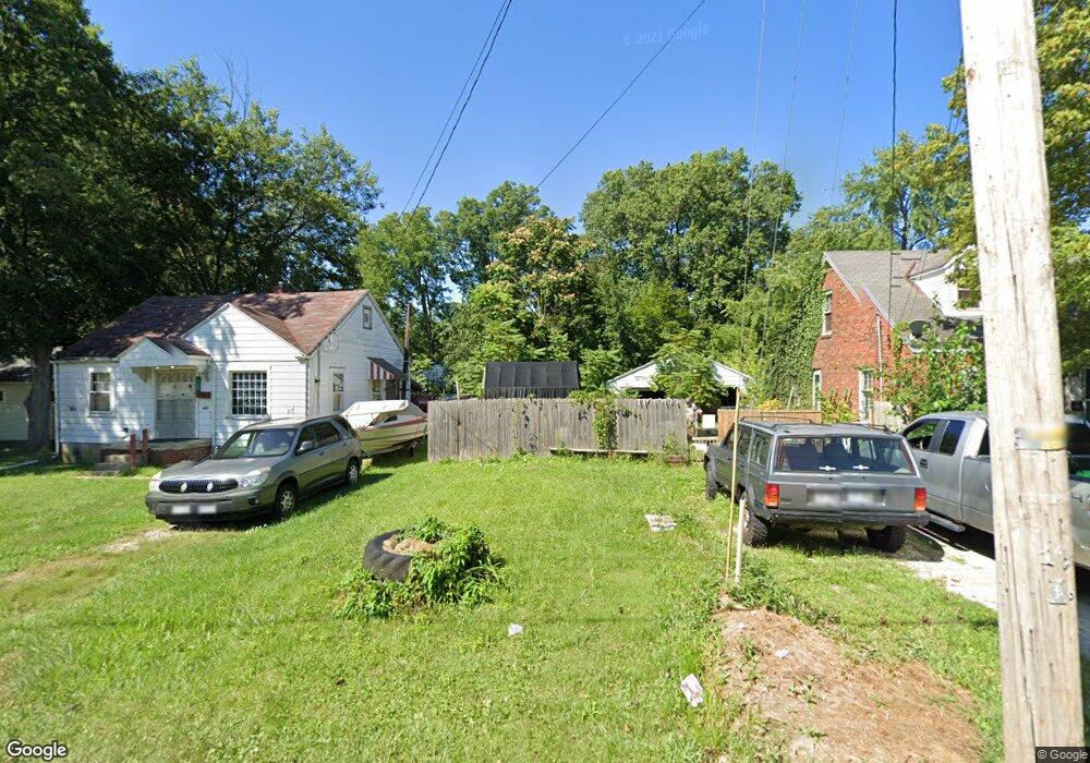
420 W 6th St Mansfield, OH 44903
Estimated Value: $74,000 - $169,000
2
Beds
1
Bath
1,008
Sq Ft
$111/Sq Ft
Est. Value
About This Home
This home is located at 420 W 6th St, Mansfield, OH 44903 and is currently estimated at $111,667, approximately $110 per square foot. 420 W 6th St is a home located in Richland County with nearby schools including Goal Digital Academy, Mansfield Elective Academy, and Interactive Media & Construction (IMAC) Academy.
Ownership History
Date
Name
Owned For
Owner Type
Purchase Details
Closed on
Apr 12, 2018
Sold by
Richland County Land Reutilization Corpo
Bought by
Byrnes Chad L
Current Estimated Value
Purchase Details
Closed on
Jun 24, 2015
Sold by
State Of Ohio
Bought by
Richland County Land Reutilization Corpo
Purchase Details
Closed on
Jul 5, 2007
Sold by
Kightlinger Ronald L and Kightlinger Annette E
Bought by
Kightlinger Properties Llc
Purchase Details
Closed on
Nov 21, 2006
Sold by
Ss Real Estate Investments Ltd
Bought by
Polachek Peggy L
Home Financials for this Owner
Home Financials are based on the most recent Mortgage that was taken out on this home.
Original Mortgage
$49,500
Interest Rate
6.41%
Mortgage Type
Stand Alone First
Create a Home Valuation Report for This Property
The Home Valuation Report is an in-depth analysis detailing your home's value as well as a comparison with similar homes in the area
Home Values in the Area
Average Home Value in this Area
Purchase History
| Date | Buyer | Sale Price | Title Company |
|---|---|---|---|
| Byrnes Chad L | -- | None Available | |
| Richland County Land Reutilization Corpo | -- | Attorney | |
| Kightlinger Properties Llc | -- | Acs Title | |
| Polachek Peggy L | $55,000 | Acs Title |
Source: Public Records
Mortgage History
| Date | Status | Borrower | Loan Amount |
|---|---|---|---|
| Previous Owner | Polachek Peggy L | $49,500 |
Source: Public Records
Tax History Compared to Growth
Tax History
| Year | Tax Paid | Tax Assessment Tax Assessment Total Assessment is a certain percentage of the fair market value that is determined by local assessors to be the total taxable value of land and additions on the property. | Land | Improvement |
|---|---|---|---|---|
| 2024 | $4 | $70 | $70 | $0 |
| 2023 | $3 | $70 | $70 | $0 |
| 2022 | $4 | $70 | $70 | $0 |
| 2021 | $4 | $70 | $70 | $0 |
| 2020 | $4 | $70 | $70 | $0 |
| 2019 | $72 | $1,110 | $1,110 | $0 |
| 2018 | $456 | $0 | $0 | $0 |
| 2017 | $490 | $7,090 | $1,390 | $5,700 |
| 2016 | $537 | $8,310 | $2,930 | $5,380 |
| 2015 | $512 | $8,310 | $2,930 | $5,380 |
| 2014 | $494 | $8,310 | $2,930 | $5,380 |
| 2012 | $397 | $8,750 | $3,090 | $5,660 |
Source: Public Records
Map
Nearby Homes
- 237 Helen Ave
- 120 Gettings Place
- 132 Sycamore St
- 116 Penn Ave
- 406 Sherman Place
- 0 Voegele Ave Unit Lot 6048, 6049, 6
- 80 Rowland Ave
- 96 Helen Ave
- 426 Mcpherson St
- 371 Bell St
- 219 W 5th St
- 169 W 5th St
- 38 Baldwin Ave
- 37 Baldwin Ave
- 0 State Route 314 Unit 9067316
- 0 State Route 314 Unit 225021979
- 24 Stewart Ave S
- 2 Bowman St
- 688 Mcpherson St
- 611 Park Ave W