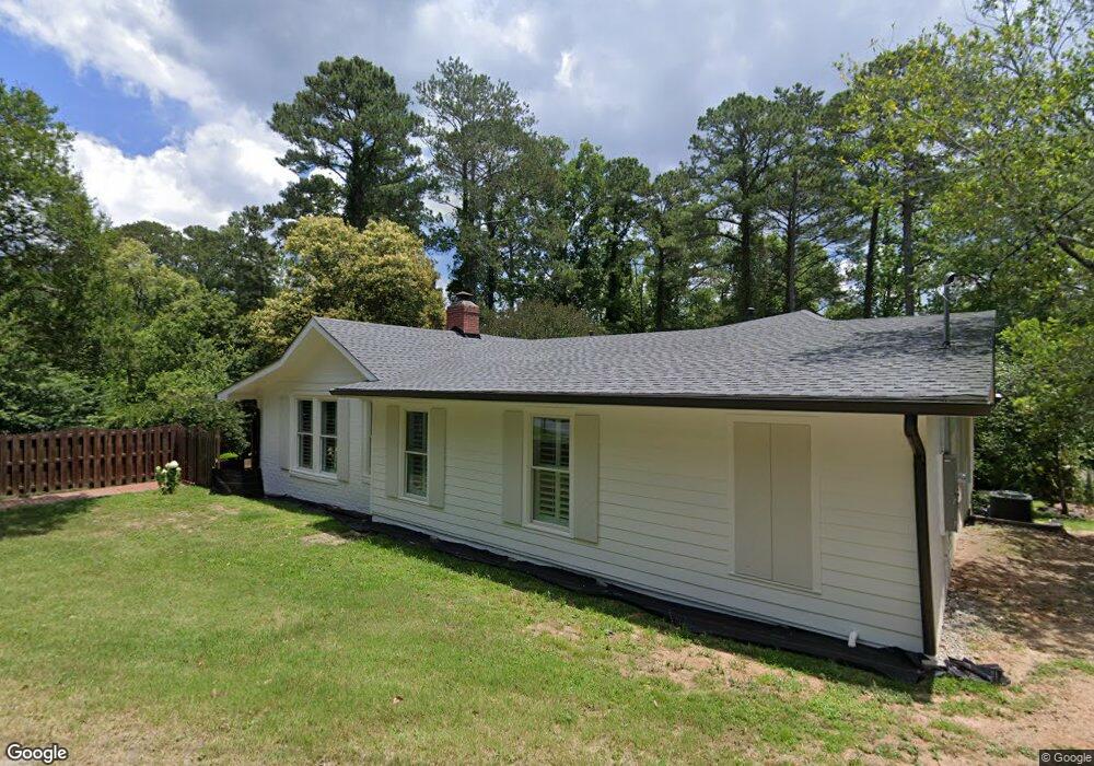
420 W Buford Rd Macon, GA 31204
Estimated Value: $197,000 - $258,000
3
Beds
2
Baths
2,224
Sq Ft
$100/Sq Ft
Est. Value
About This Home
This home is located at 420 W Buford Rd, Macon, GA 31204 and is currently estimated at $221,919, approximately $99 per square foot. 420 W Buford Rd is a home located in Bibb County with nearby schools including Rosa Taylor Elementary School, Miller Fine Arts Magnet Middle School, and Central High School.
Ownership History
Date
Name
Owned For
Owner Type
Purchase Details
Closed on
Jun 24, 2015
Sold by
Puryear Keri S and Slade Keri C
Bought by
Puryear John Henry and Puryear Keri S
Current Estimated Value
Purchase Details
Closed on
Oct 12, 2005
Sold by
Dean Keith and Hougentogler Keith D
Bought by
Slade Keri C
Home Financials for this Owner
Home Financials are based on the most recent Mortgage that was taken out on this home.
Original Mortgage
$136,900
Interest Rate
5.66%
Mortgage Type
Future Advance Clause Open End Mortgage
Purchase Details
Closed on
May 21, 2002
Create a Home Valuation Report for This Property
The Home Valuation Report is an in-depth analysis detailing your home's value as well as a comparison with similar homes in the area
Purchase History
| Date | Buyer | Sale Price | Title Company |
|---|---|---|---|
| Puryear John Henry | -- | First American Title Ins Co | |
| Slade Keri C | $134,900 | None Available | |
| -- | $89,000 | -- |
Source: Public Records
Mortgage History
| Date | Status | Borrower | Loan Amount |
|---|---|---|---|
| Closed | Slade Keri C | $136,900 |
Source: Public Records
Tax History
| Year | Tax Paid | Tax Assessment Tax Assessment Total Assessment is a certain percentage of the fair market value that is determined by local assessors to be the total taxable value of land and additions on the property. | Land | Improvement |
|---|---|---|---|---|
| 2025 | $1,102 | $51,828 | $14,075 | $37,753 |
| 2024 | $1,139 | $51,828 | $14,075 | $37,753 |
| 2023 | $1,379 | $53,570 | $11,260 | $42,310 |
| 2022 | $1,636 | $54,249 | $13,101 | $41,148 |
| 2021 | $1,811 | $54,653 | $10,842 | $43,811 |
| 2020 | $1,498 | $45,583 | $9,939 | $35,644 |
| 2019 | $1,510 | $45,583 | $9,939 | $35,644 |
| 2018 | $2,493 | $45,583 | $9,939 | $35,644 |
| 2017 | $1,446 | $45,583 | $9,939 | $35,644 |
| 2016 | $1,335 | $45,583 | $9,939 | $35,644 |
| 2015 | $1,707 | $41,848 | $9,939 | $31,909 |
| 2014 | $1,343 | $41,848 | $9,939 | $31,909 |
Source: Public Records
Map
Nearby Homes
- 2428 Darden Dr
- 362 Buford Place
- 353 Buford Place
- 2727 Ingleside Ave
- 475 Corbin Ave
- 2349 Berthadale Ave
- 215 Pierce Ave
- 216 Hines Terrace
- 230 Calloway Dr
- 2469 Kingsley Dr
- 227 Corbin Ave
- 2783 S Hillandale Cir
- 173 Pierce Ave
- 2471 Old Holton Rd
- 192 Corbin Ave
- 2526 Old Holton Rd
- 191 Holmes Ave
- 175 Corbin Ave Unit B
- 175 Corbin Ave Unit B
- 175 Corbin Ave
- 424 W Buford Rd
- 430 W Buford Rd
- 2515 Ingleside Ave
- W W Buford Rd
- 2555 Ingleside Ave
- 436 W Buford Rd
- 2565 Ingleside Ave
- 415 Pierce Ave
- 429 E Buford Rd
- 440 W Buford Rd
- 423 Pierce Ave
- 435 E Buford Rd
- 423 E Buford Rd
- 441 E Buford Rd
- E E Buford Rd
- 417 E Buford Rd
- 444 W Buford Rd
- 2595 Ingleside Ave
- 387 Hines Terrace
- 435 Pierce Ave