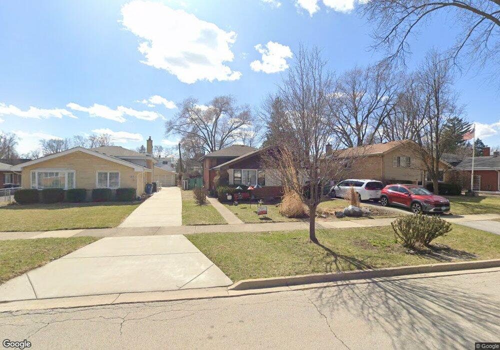
420 W Commonwealth Ln Elmhurst, IL 60126
Estimated Value: $392,962 - $468,000
--
Bed
--
Bath
1,189
Sq Ft
$353/Sq Ft
Est. Value
About This Home
This home is located at 420 W Commonwealth Ln, Elmhurst, IL 60126 and is currently estimated at $419,991, approximately $353 per square foot. 420 W Commonwealth Ln is a home located in DuPage County with nearby schools including Salt Creek Elementary School, Stella May Swartz Elementary School, and John E Albright Middle School.
Ownership History
Date
Name
Owned For
Owner Type
Purchase Details
Closed on
Jul 24, 2023
Sold by
Boullion Jarold G and Boullion Karin L
Bought by
Boullion Family Trust and Boullion
Current Estimated Value
Create a Home Valuation Report for This Property
The Home Valuation Report is an in-depth analysis detailing your home's value as well as a comparison with similar homes in the area
Home Values in the Area
Average Home Value in this Area
Purchase History
| Date | Buyer | Sale Price | Title Company |
|---|---|---|---|
| Boullion Family Trust | -- | None Listed On Document |
Source: Public Records
Tax History Compared to Growth
Tax History
| Year | Tax Paid | Tax Assessment Tax Assessment Total Assessment is a certain percentage of the fair market value that is determined by local assessors to be the total taxable value of land and additions on the property. | Land | Improvement |
|---|---|---|---|---|
| 2024 | $6,344 | $125,215 | $34,929 | $90,286 |
| 2023 | $5,439 | $115,790 | $32,300 | $83,490 |
| 2022 | $5,226 | $111,310 | $31,040 | $80,270 |
| 2021 | $5,317 | $108,540 | $30,270 | $78,270 |
| 2020 | $5,259 | $106,160 | $29,610 | $76,550 |
| 2019 | $5,052 | $100,930 | $28,150 | $72,780 |
| 2018 | $5,017 | $97,790 | $26,660 | $71,130 |
| 2017 | $4,937 | $93,180 | $25,400 | $67,780 |
| 2016 | $4,646 | $87,780 | $23,930 | $63,850 |
| 2015 | $4,575 | $81,770 | $22,290 | $59,480 |
| 2014 | $4,638 | $79,240 | $20,330 | $58,910 |
| 2013 | $4,591 | $80,360 | $20,620 | $59,740 |
Source: Public Records
Map
Nearby Homes
- 1046 E Van Buren St
- 963 S Saylor Ave
- 2 S Atrium Way Unit 203
- 1S045 Spring Rd Unit 1D
- 625 E Van Buren St
- 995 S Swain Ave
- 1S150 Spring Rd Unit 5B
- 1S150 Spring Rd Unit 4L
- 936 S Mitchell Ave
- 274 Timber View Dr
- 1200 S Prospect Ave Unit 303
- 1200 S Prospect Ave Unit 108
- 3 Oak Brook Club Dr Unit E207
- 130 Crab Apple Ln
- 1 Oak Brook Club Dr Unit A301
- 1 Oak Brook Club Dr Unit A312
- 814 S Saylor Ave
- 175 W Brush Hill Rd Unit 404
- 805 S Spring Rd
- 801 S Spring Rd
- 424 W Commonwealth Ln
- 416 W Commonwealth Ln
- 412 W Commonwealth Ln
- 428 W Commonwealth Ln
- 408 W Commonwealth Ln
- 432 W Commonwealth Ln
- 441 W Avery St
- 447 W Avery St
- 445 W Avery St
- 415 W Commonwealth Ln
- 451 W Avery St
- 436 W Commonwealth Ln
- 423 W Commonwealth Ln
- 402 W Commonwealth Ln
- 437 W Avery St
- 455 W Avery St
- 419 W Commonwealth Ln
- 411 W Commonwealth Ln
- 1077 S Sunset Ave
- 400 W Commonwealth Ln