Estimated Value: $286,760 - $356,000
--
Bed
2
Baths
1,550
Sq Ft
$208/Sq Ft
Est. Value
About This Home
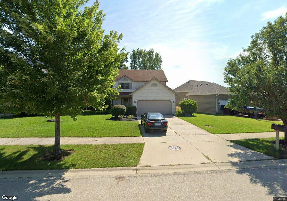
This home is located at 4201 Bertrand Ln, Zion, IL 60099 and is currently estimated at $321,690, approximately $207 per square foot. 4201 Bertrand Ln is a home located in Lake County with nearby schools including Oak Crest School, Beach Park Middle School, and Zion-Benton Township High School.
Ownership History
Date
Name
Owned For
Owner Type
Purchase Details
Closed on
Jan 20, 2004
Sold by
Larson Alvar
Bought by
Golwitzer Brian K and Golwitzer Bettina M
Current Estimated Value
Home Financials for this Owner
Home Financials are based on the most recent Mortgage that was taken out on this home.
Original Mortgage
$174,800
Outstanding Balance
$81,804
Interest Rate
5.91%
Mortgage Type
Purchase Money Mortgage
Estimated Equity
$239,886
Create a Home Valuation Report for This Property
The Home Valuation Report is an in-depth analysis detailing your home's value as well as a comparison with similar homes in the area
Home Values in the Area
Average Home Value in this Area
Purchase History
| Date | Buyer | Sale Price | Title Company |
|---|---|---|---|
| Golwitzer Brian K | $185,000 | First American Title |
Source: Public Records
Mortgage History
| Date | Status | Borrower | Loan Amount |
|---|---|---|---|
| Open | Golwitzer Brian K | $174,800 |
Source: Public Records
Tax History Compared to Growth
Tax History
| Year | Tax Paid | Tax Assessment Tax Assessment Total Assessment is a certain percentage of the fair market value that is determined by local assessors to be the total taxable value of land and additions on the property. | Land | Improvement |
|---|---|---|---|---|
| 2024 | $7,617 | $78,423 | $6,059 | $72,364 |
| 2023 | $7,627 | $68,754 | $5,849 | $62,905 |
| 2022 | $7,627 | $65,578 | $5,714 | $59,864 |
| 2021 | $7,866 | $63,910 | $5,569 | $58,341 |
| 2020 | $7,720 | $60,988 | $5,314 | $55,674 |
| 2019 | $7,700 | $57,864 | $5,042 | $52,822 |
| 2018 | $6,972 | $51,495 | $6,009 | $45,486 |
| 2017 | $6,886 | $48,443 | $5,653 | $42,790 |
| 2016 | $6,716 | $46,119 | $5,382 | $40,737 |
| 2015 | $6,495 | $42,296 | $4,936 | $37,360 |
| 2014 | $6,775 | $45,606 | $12,835 | $32,771 |
| 2012 | $6,818 | $47,393 | $13,338 | $34,055 |
Source: Public Records
Map
Nearby Homes
- 1121 Otto Graham Ln
- 10765 W Liberty Ave
- 3931 Bertrand Ln
- 11345 W Carnahan Ave
- 38571 N Cedar Ave
- 11382 W Leland Ave
- 11342-11346 W Wadsworth Rd
- 38683 N Lewis Ave
- 3225 Gilead Ave
- 3224 Gilboa Ave
- 2614 33rd St
- 1667 W Beach Rd Unit 1667
- 1677 W Beach Rd Unit 1677
- 3221 Gideon Ave
- 1730 W Beach Rd
- 10295 W Crissy Ave
- 39161 N Holdridge Ave
- 10205 W Ames Ave
- 38176 N De Woody Rd
- 3101 Gilboa Ave
- 4205 Bertrand Ln
- 4147 Bertrand Ln
- 4209 Bertrand Ln
- 1104 Bank Ln
- 4206 Bertrand Ln
- 4213 Bertrand Ln
- 1108 Bank Ln
- 1121 Morris Ct
- 1123 Browne Ct
- 4217 Bertrand Ln
- 1100 Bank Ln
- 4144 Bertrand Ln
- 1127 Browne Ct
- 1124 Morris Ct
- 4140 Bertrand Ln
- 1125 Morris Ct
- 4221 Bertrand Ln
- 1113 Bank Ln
- 1129 Morris Ct
- 1101 Bank Ln