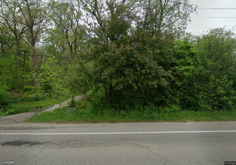
4201 Clark Rd Ann Arbor, MI 48105
Estimated Value: $550,000 - $910,263
4
Beds
3
Baths
2,162
Sq Ft
$347/Sq Ft
Est. Value
About This Home
This home is located at 4201 Clark Rd, Ann Arbor, MI 48105 and is currently estimated at $749,754, approximately $346 per square foot. 4201 Clark Rd is a home located in Washtenaw County with nearby schools including Burns Park Elementary School, Tappan Middle School, and Huron High School.
Ownership History
Date
Name
Owned For
Owner Type
Purchase Details
Closed on
Aug 31, 2010
Sold by
Burton Timothy J and Burton Carol
Bought by
Morgan Christopher M
Current Estimated Value
Purchase Details
Closed on
Jan 30, 2004
Sold by
Burton Timothy J
Bought by
Burton Timothy J and Burton Carol
Home Financials for this Owner
Home Financials are based on the most recent Mortgage that was taken out on this home.
Original Mortgage
$125,500
Interest Rate
4.5%
Mortgage Type
Stand Alone Refi Refinance Of Original Loan
Create a Home Valuation Report for This Property
The Home Valuation Report is an in-depth analysis detailing your home's value as well as a comparison with similar homes in the area
Home Values in the Area
Average Home Value in this Area
Purchase History
| Date | Buyer | Sale Price | Title Company |
|---|---|---|---|
| Morgan Christopher M | $234,000 | Title Direct Agency | |
| Burton Timothy J | -- | Cornerstone Title Agency |
Source: Public Records
Mortgage History
| Date | Status | Borrower | Loan Amount |
|---|---|---|---|
| Previous Owner | Burton Timothy J | $125,500 |
Source: Public Records
Tax History Compared to Growth
Tax History
| Year | Tax Paid | Tax Assessment Tax Assessment Total Assessment is a certain percentage of the fair market value that is determined by local assessors to be the total taxable value of land and additions on the property. | Land | Improvement |
|---|---|---|---|---|
| 2025 | $2,242 | $457,700 | $0 | $0 |
| 2024 | $4,977 | $431,900 | $0 | $0 |
| 2023 | $4,783 | $325,000 | $0 | $0 |
| 2022 | $6,734 | $334,000 | $0 | $0 |
| 2021 | $6,573 | $331,200 | $0 | $0 |
| 2020 | $6,734 | $243,210 | $0 | $0 |
| 2019 | $6,338 | $176,010 | $176,010 | $0 |
| 2018 | $6,265 | $182,410 | $111,830 | $70,580 |
| 2017 | $6,048 | $183,680 | $0 | $0 |
| 2016 | $4,007 | $157,877 | $0 | $0 |
| 2015 | -- | $157,405 | $0 | $0 |
| 2014 | -- | $152,488 | $0 | $0 |
| 2013 | -- | $152,488 | $0 | $0 |
Source: Public Records
Map
Nearby Homes
- 1690 Meadowside Dr
- 3480 Wooddale Ct
- 2514 Carlton Dr
- 6 Salem Ct
- 1365 Chalmers Dr
- 3636 Riverside Dr
- 3595 E Huron River Dr
- 3586 E Huron River Dr
- 1892 Lindsay Ln Unit 40
- 2310 Pinecrest Ave
- 2525 Yost Blvd
- 2460 Yost Blvd
- 3457 Richard St
- 3436 Edgewood Dr
- 3455 Richard St
- 1535 Stonehaven St
- 3164 Asher Rd Unit 43
- 2707 Brandywine Dr
- 2468 Fernwood Ave
- 3093 Overridge Dr
- 4155 Clark Rd
- 4260 Shetland Dr
- 4234 Shetland Dr
- 4115 Clark Rd
- 0 Shetland Dr
- 4261 Shetland Dr
- 4200 Shetland Dr
- 4289 Shetland Dr
- 4081 Clark Rd
- 4120 Shetland Dr
- 4255 Shetland Dr
- 4031 Clark Rd
- 4231 Shetland Dr
- 1925 Hogback Rd
- 1211 Hogback Rd
- 4215 Shetland Dr
- 4141 Shetland Dr
- 0 Hogback Rd
- 1235 Hogback Rd
- 4380 Welsh Dr
