4201 W 133rd Ave Crown Point, IN 46307
Estimated Value: $488,000 - $669,000
4
Beds
3
Baths
2,917
Sq Ft
$191/Sq Ft
Est. Value
About This Home
This home is located at 4201 W 133rd Ave, Crown Point, IN 46307 and is currently estimated at $556,860, approximately $190 per square foot. 4201 W 133rd Ave is a home located in Lake County with nearby schools including Douglas MacArthur Elementary School, Robert Taft Middle School, and Crown Point High School.
Ownership History
Date
Name
Owned For
Owner Type
Purchase Details
Closed on
Jun 15, 2022
Sold by
Kooy and Denise
Bought by
Luszczek Jan and Luszczek Maria
Current Estimated Value
Purchase Details
Closed on
Feb 21, 2017
Sold by
The Bank Of New York Mellon
Bought by
Kooy Vicent and Kooy Denise
Create a Home Valuation Report for This Property
The Home Valuation Report is an in-depth analysis detailing your home's value as well as a comparison with similar homes in the area
Home Values in the Area
Average Home Value in this Area
Purchase History
| Date | Buyer | Sale Price | Title Company |
|---|---|---|---|
| Luszczek Jan | -- | New Title Company Name | |
| Kooy Vicent | -- | Metropolitan Title Of In |
Source: Public Records
Tax History Compared to Growth
Tax History
| Year | Tax Paid | Tax Assessment Tax Assessment Total Assessment is a certain percentage of the fair market value that is determined by local assessors to be the total taxable value of land and additions on the property. | Land | Improvement |
|---|---|---|---|---|
| 2024 | $7,102 | $363,500 | $73,000 | $290,500 |
| 2023 | $2,849 | $334,200 | $73,000 | $261,200 |
| 2022 | $2,849 | $276,700 | $73,000 | $203,700 |
| 2021 | $2,520 | $260,000 | $72,400 | $187,600 |
| 2020 | $2,529 | $249,300 | $72,400 | $176,900 |
| 2019 | $2,390 | $233,300 | $72,400 | $160,900 |
| 2018 | $2,424 | $252,000 | $72,400 | $179,600 |
| 2017 | $2,473 | $226,800 | $72,400 | $154,400 |
| 2016 | $2,532 | $230,000 | $72,400 | $157,600 |
| 2014 | $2,342 | $227,100 | $72,400 | $154,700 |
| 2013 | $2,341 | $227,000 | $72,400 | $154,600 |
Source: Public Records
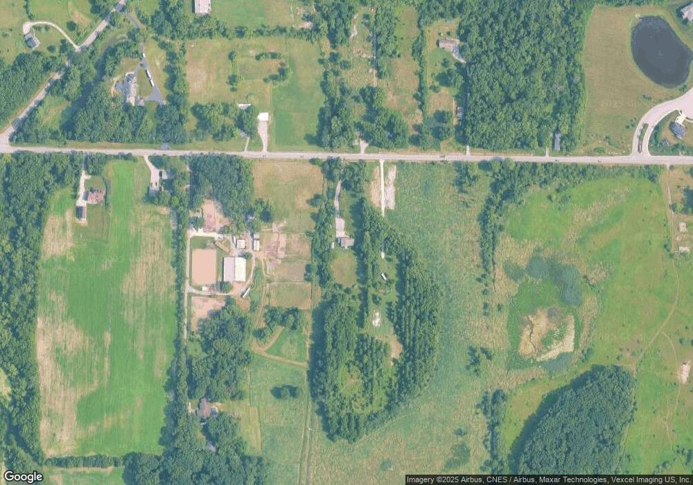
Map
Nearby Homes
- 4422 W 133rd Ave
- 3721 W 133rd Ave
- 834 Copper Creek Dr
- 12860 Baker Ct
- 12715 Cedar Lake Rd
- 12812 Whitcomb St
- 3315 W 138th Ln
- 12201 Cedar Lake Rd
- The Quinn Plan at Lakeside
- The Huntley Plan at Lakeside
- The Cole Plan at Lakeside
- The Asher Plan at Lakeside
- The Dover Plan at Lakeside
- The Lester Plan at Lakeside
- The Kade Plan at Lakeside
- The Nicholas Plan at Lakeside
- 13417 Lakeside Blvd
- The Sadie Plan at Lakeside
- The Shelly Plan at Lakeside
- The Brooks Plan at Lakeside
- 4204 W 133rd Ave
- 4315 W 133rd Ave
- 4315 W 133rd Ave
- 4112 W 133rd Ave
- 4314 W 133rd Ave
- 4419 W 133rd Ave
- 4106 W 133rd Ave
- 4008 W 133rd Ave
- 4321 W 133rd Ave
- 4422 W 133rd Ave
- 4319 W 133rd Ave
- 13131 Cedar Lake Rd
- 4351 W 133rd Ave
- 2284 Copper Creek Dr
- 3905 W 133rd Ave
- 13301 Reeder Rd
- 13218 Cedar Lake Rd
- 13134 Cedar Lake Rd
- 13108 Cedar Lake Rd
- 13023 Cedar Lake Rd