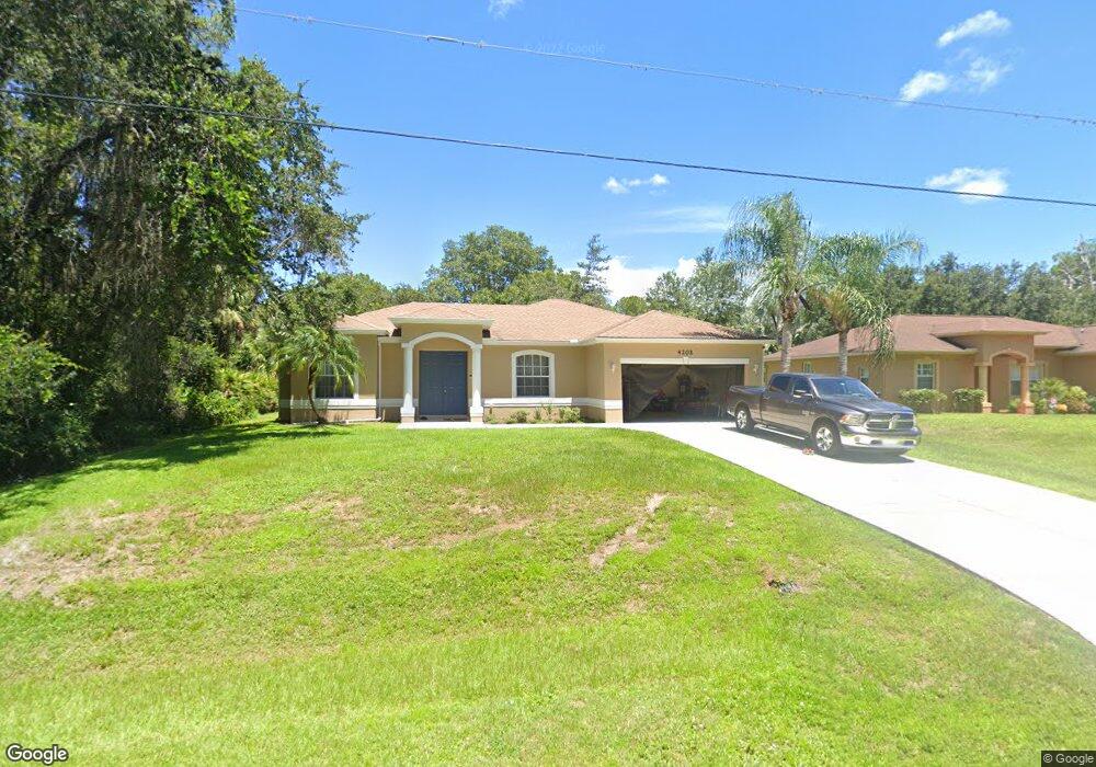
4202 Platt St North Port, FL 34286
Estimated Value: $271,878 - $338,000
3
Beds
2
Baths
1,634
Sq Ft
$190/Sq Ft
Est. Value
About This Home
This home is located at 4202 Platt St, North Port, FL 34286 and is currently estimated at $309,970, approximately $189 per square foot. 4202 Platt St is a home located in Sarasota County with nearby schools including North Port High School, Lamarque Elementary School, and Woodland Middle School.
Ownership History
Date
Name
Owned For
Owner Type
Purchase Details
Closed on
Sep 13, 2006
Sold by
New Vista Homes Of Sarasota County Inc
Bought by
Sukhra Heera Lall and Sukhra Faina
Current Estimated Value
Purchase Details
Closed on
Apr 15, 2005
Sold by
Lall Heera and Sukhra Faina
Bought by
New Vista Properties Inc
Purchase Details
Closed on
Nov 24, 2004
Sold by
New Vista Properties Inc
Bought by
Sukhra Heeralall and Sukhra Faina
Create a Home Valuation Report for This Property
The Home Valuation Report is an in-depth analysis detailing your home's value as well as a comparison with similar homes in the area
Home Values in the Area
Average Home Value in this Area
Purchase History
| Date | Buyer | Sale Price | Title Company |
|---|---|---|---|
| Sukhra Heera Lall | $207,900 | None Available | |
| New Vista Homes Of Sarasota County Inc | -- | None Available | |
| New Vista Properties Inc | -- | -- | |
| Sukhra Heeralall | $27,000 | -- |
Source: Public Records
Tax History Compared to Growth
Tax History
| Year | Tax Paid | Tax Assessment Tax Assessment Total Assessment is a certain percentage of the fair market value that is determined by local assessors to be the total taxable value of land and additions on the property. | Land | Improvement |
|---|---|---|---|---|
| 2024 | $4,339 | $230,529 | -- | -- |
| 2023 | $4,339 | $280,900 | $27,700 | $253,200 |
| 2022 | $3,996 | $253,400 | $25,600 | $227,800 |
| 2021 | $3,395 | $173,200 | $14,000 | $159,200 |
| 2020 | $3,174 | $157,800 | $11,200 | $146,600 |
| 2019 | $3,150 | $156,800 | $9,700 | $147,100 |
| 2018 | $2,886 | $149,000 | $8,900 | $140,100 |
| 2017 | $2,746 | $136,764 | $0 | $0 |
| 2016 | $2,645 | $135,700 | $4,900 | $130,800 |
| 2015 | $2,428 | $113,400 | $4,400 | $109,000 |
| 2014 | $2,309 | $93,412 | $0 | $0 |
Source: Public Records
Map
Nearby Homes
- 0 Platt St Unit MFRA4667068
- 4343 Carver St
- 3276 Chipley Ave
- 4035 Bruingst
- 4023 Platt St
- 0 Maywood Ln
- 0 Carver St Unit MFRC7498857
- 13 & 14 Lutz Rd
- 0 Lummus St Unit 2025005676
- 0 Lummus St Unit 225049848
- 0 Lummus St Unit MFRC7497102
- 3360 Stokie Ave
- 3355 Moncrief Ave
- 4610 Clarke St
- 4667 Shrimp Ln
- 0 Titan St Unit A4555464
- Lot 2 Titan St
- 0 N Cranberry Blvd Unit 225068009
- 0 N Cranberry Blvd Unit MFRC7504527
- 0 N Cranberry Blvd Unit MFRC7504480
- 4184 Platt St
- 4184 Street
- 4164 Platt St
- 4305 Bruing St
- 4288 Street
- 4288 Platt St
- 0 Platt St Unit A4201391
- 0 Platt St Unit MFRC7483141
- 0 Platt St Unit D6119515
- 0 Platt St Unit A4497173
- 0 Platt St Unit D6114943
- TBD Platt St
- 4358 Platt St
- 4132 Platt St
- 4238 Bruing St
- 4338 Shrimp Ln
- 4110 Platt St
- 3255 Chipley Ave
- 4310 Shrimp Ln
- 0 Shrimp Ln Unit C7249531