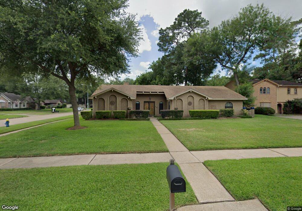
4203 Black Locust Dr Houston, TX 77088
Greater Inwood NeighborhoodEstimated Value: $256,000 - $270,000
4
Beds
3
Baths
2,217
Sq Ft
$118/Sq Ft
Est. Value
About This Home
This home is located at 4203 Black Locust Dr, Houston, TX 77088 and is currently estimated at $262,458, approximately $118 per square foot. 4203 Black Locust Dr is a home located in Harris County with nearby schools including Stovall School, Caraway Intermediate School, and Caraway Elementary School.
Ownership History
Date
Name
Owned For
Owner Type
Purchase Details
Closed on
Mar 18, 1998
Sold by
Maiolo Samuel John and Maiolo Lavonne
Bought by
Lashore Rodney Jerome and Lashore Denita Paul
Current Estimated Value
Home Financials for this Owner
Home Financials are based on the most recent Mortgage that was taken out on this home.
Original Mortgage
$81,961
Outstanding Balance
$15,073
Interest Rate
7.08%
Mortgage Type
VA
Estimated Equity
$247,385
Create a Home Valuation Report for This Property
The Home Valuation Report is an in-depth analysis detailing your home's value as well as a comparison with similar homes in the area
Home Values in the Area
Average Home Value in this Area
Purchase History
| Date | Buyer | Sale Price | Title Company |
|---|---|---|---|
| Lashore Rodney Jerome | -- | Stewart Title |
Source: Public Records
Mortgage History
| Date | Status | Borrower | Loan Amount |
|---|---|---|---|
| Open | Lashore Rodney Jerome | $81,961 |
Source: Public Records
Tax History Compared to Growth
Tax History
| Year | Tax Paid | Tax Assessment Tax Assessment Total Assessment is a certain percentage of the fair market value that is determined by local assessors to be the total taxable value of land and additions on the property. | Land | Improvement |
|---|---|---|---|---|
| 2025 | $3,620 | $234,472 | $54,360 | $180,112 |
| 2024 | $3,620 | $242,029 | $54,360 | $187,669 |
| 2023 | $3,620 | $268,736 | $54,360 | $214,376 |
| 2022 | $5,263 | $247,759 | $45,300 | $202,459 |
| 2021 | $5,011 | $209,161 | $45,300 | $163,861 |
| 2020 | $4,787 | $209,161 | $45,300 | $163,861 |
| 2019 | $4,562 | $174,357 | $24,009 | $150,348 |
| 2018 | $1,793 | $149,872 | $24,009 | $125,863 |
| 2017 | $3,935 | $149,872 | $24,009 | $125,863 |
| 2016 | $3,578 | $134,863 | $24,009 | $110,854 |
| 2015 | $2,750 | $134,863 | $24,009 | $110,854 |
| 2014 | $2,750 | $122,458 | $24,009 | $98,449 |
Source: Public Records
Map
Nearby Homes
- 4015 Black Locust Dr
- 4206 Saratoga Dr
- 4306 Saratoga Dr
- 7331 Athlone Dr
- 3919 Badger Forest Dr
- 7611 Athlone Dr
- 3711 Black Locust Dr
- 4444 Victory Dr Unit 1311
- 4444 Victory Dr Unit 1108
- 7705 Inwood Grove Ln
- 7707 Inwood Grove Ln
- 0 Maple Hill Dr
- 7816 Inwood Grove Ln
- 5514 Long Creek Ln
- DOVE Plan at Alaia Crossing
- CEDAR Plan at Alaia Crossing
- BOXWOOD Plan at Alaia Crossing
- 5606 Water Leaf Ln
- 7712 Inwood Grove Ln
- 7718 Inwood Grove Ln
- 4207 Black Locust Dr
- 4202 Littleberry Rd
- 4206 Littleberry Rd
- 4211 Black Locust Dr
- 4107 Littleberry Rd
- 4111 Littleberry Rd
- 4206 Black Locust Dr
- 4210 Littleberry Rd
- 4202 Black Locust Dr
- 4210 Black Locust Dr
- 4103 Littleberry Rd
- 4115 Littleberry Rd
- 4215 Black Locust Dr
- 4214 Littleberry Rd
- 4214 Black Locust Dr
- 4219 Black Locust Dr
- 4203 Lemon Tree Ln
- 4123 Littleberry Rd
- 4207 Littleberry Rd
- 4111 Lemon Tree Ln