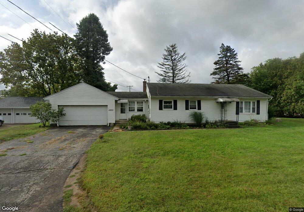
4203 Leah St Michigan Center, MI 49254
Estimated Value: $216,000 - $222,000
3
Beds
1
Bath
1,507
Sq Ft
$145/Sq Ft
Est. Value
About This Home
This home is located at 4203 Leah St, Michigan Center, MI 49254 and is currently estimated at $218,668, approximately $145 per square foot. 4203 Leah St is a home located in Jackson County with nearby schools including Keicher Elementary School, Arnold Elementary School, and Michigan Center Junior/Senior High School.
Ownership History
Date
Name
Owned For
Owner Type
Purchase Details
Closed on
Jul 14, 2008
Sold by
Miller Robert E and Larock Miller Patricia A
Bought by
Shurboff James and Sprang Shurboff Sarah
Current Estimated Value
Home Financials for this Owner
Home Financials are based on the most recent Mortgage that was taken out on this home.
Original Mortgage
$90,000
Interest Rate
6.36%
Mortgage Type
Purchase Money Mortgage
Purchase Details
Closed on
Jan 7, 1997
Sold by
Soat Rodney L
Bought by
Miller Robert E and Miller Connie A
Purchase Details
Closed on
Jun 1, 1991
Bought by
Soat
Create a Home Valuation Report for This Property
The Home Valuation Report is an in-depth analysis detailing your home's value as well as a comparison with similar homes in the area
Home Values in the Area
Average Home Value in this Area
Purchase History
| Date | Buyer | Sale Price | Title Company |
|---|---|---|---|
| Shurboff James | $100,000 | At | |
| Miller Robert E | $85,000 | -- | |
| Soat | $58,500 | -- |
Source: Public Records
Mortgage History
| Date | Status | Borrower | Loan Amount |
|---|---|---|---|
| Closed | Shurboff James | $90,000 |
Source: Public Records
Tax History Compared to Growth
Tax History
| Year | Tax Paid | Tax Assessment Tax Assessment Total Assessment is a certain percentage of the fair market value that is determined by local assessors to be the total taxable value of land and additions on the property. | Land | Improvement |
|---|---|---|---|---|
| 2025 | $1,498 | $94,492 | $0 | $0 |
| 2024 | $890 | $87,681 | $0 | $0 |
| 2023 | $848 | $82,250 | $0 | $0 |
| 2022 | $1,364 | $71,128 | $0 | $0 |
| 2021 | $1,345 | $57,146 | $0 | $0 |
| 2020 | $1,335 | $56,863 | $0 | $0 |
| 2019 | $1,292 | $42,445 | $0 | $0 |
| 2018 | $1,258 | $51,870 | $8,200 | $43,670 |
| 2017 | $1,182 | $54,623 | $0 | $0 |
| 2016 | $720 | $49,968 | $49,968 | $0 |
| 2015 | -- | $41,404 | $41,404 | $0 |
| 2014 | -- | $39,899 | $0 | $0 |
| 2013 | -- | $39,899 | $39,899 | $0 |
Source: Public Records
Map
Nearby Homes
- 4075 Flansburg Rd
- 4434 Allison Dr
- 210 W Grove Ave
- 114 W Grove Ave
- 188 Cherry St
- 423 S Lakeside Dr
- 221 Grand St
- 519 7th St
- 423 Grand St
- 413 7th St
- 430 Jefferson Dr
- 448 Grand St
- 240 Stillwell Ave
- 241 Stillwell Ave
- 149 Hall St
- 0 Huggins Unit 25000799
- 4715 Brooklyn Rd
- 0 Page Ave Unit 23140008
- VL Stillwell Ave
- 4259 Brooklyn Rd