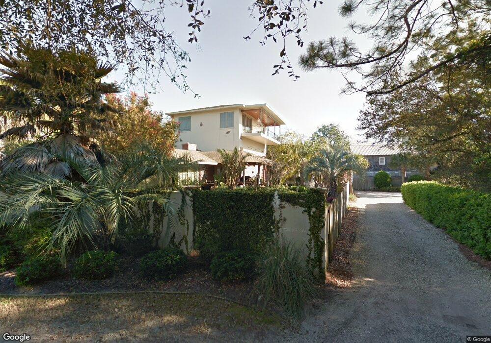
4204 9th St Brunswick, GA 31522
Estimated Value: $2,819,000 - $3,514,081
4
Beds
3
Baths
2,500
Sq Ft
$1,259/Sq Ft
Est. Value
About This Home
This home is located at 4204 9th St, Brunswick, GA 31522 and is currently estimated at $3,147,770, approximately $1,259 per square foot. 4204 9th St is a home located in Glynn County with nearby schools including St. Simons Elementary School, Glynn Middle School, and Glynn Academy.
Ownership History
Date
Name
Owned For
Owner Type
Purchase Details
Closed on
Apr 15, 2024
Sold by
The Fuel Depot
Bought by
Butler Beach Llc
Current Estimated Value
Purchase Details
Closed on
Aug 25, 2020
Sold by
Molen Lisa H
Bought by
Fuel Depot
Home Financials for this Owner
Home Financials are based on the most recent Mortgage that was taken out on this home.
Original Mortgage
$1,014,360
Interest Rate
2.9%
Mortgage Type
Commercial
Purchase Details
Closed on
Mar 19, 2019
Sold by
Molen Chris
Bought by
Molen Lisa H
Create a Home Valuation Report for This Property
The Home Valuation Report is an in-depth analysis detailing your home's value as well as a comparison with similar homes in the area
Home Values in the Area
Average Home Value in this Area
Purchase History
| Date | Buyer | Sale Price | Title Company |
|---|---|---|---|
| Butler Beach Llc | $3,025,000 | -- | |
| Fuel Depot | $1,400,000 | -- | |
| Molen Lisa H | -- | -- |
Source: Public Records
Mortgage History
| Date | Status | Borrower | Loan Amount |
|---|---|---|---|
| Previous Owner | Fuel Depot | $1,014,360 |
Source: Public Records
Tax History Compared to Growth
Tax History
| Year | Tax Paid | Tax Assessment Tax Assessment Total Assessment is a certain percentage of the fair market value that is determined by local assessors to be the total taxable value of land and additions on the property. | Land | Improvement |
|---|---|---|---|---|
| 2025 | $28,873 | $1,151,280 | $534,600 | $616,680 |
| 2024 | $23,980 | $956,160 | $486,000 | $470,160 |
| 2023 | $23,807 | $963,720 | $534,600 | $429,120 |
| 2022 | $18,363 | $727,240 | $340,200 | $387,040 |
| 2021 | $14,163 | $542,840 | $340,200 | $202,640 |
| 2020 | $9,379 | $464,280 | $340,200 | $124,080 |
| 2019 | $9,379 | $464,280 | $340,200 | $124,080 |
| 2018 | $9,379 | $464,280 | $340,200 | $124,080 |
| 2017 | $9,379 | $359,480 | $194,400 | $165,080 |
| 2016 | $8,642 | $359,480 | $194,400 | $165,080 |
| 2015 | $8,788 | $359,480 | $194,400 | $165,080 |
| 2014 | $8,788 | $359,480 | $194,400 | $165,080 |
Source: Public Records
Map
Nearby Homes
- 2022 Bruce Cir
- 1909 Dixon Ln
- 4318 7th St
- 4318 13th St
- 1709 Dixon Ln
- 1626 Bruce Dr
- 1604 Bruce Dr
- 6 Coast Cottage Ln
- 5 and 7 Sea Oats Ln
- 17 Sea Oats Ln
- 1528 Ocean Blvd
- 1524 Wood Ave Unit 303
- 1524 Wood Ave Unit 215
- 1524 Wood Ave Unit 214
- 1524 Wood Ave Unit 314
- 1524 Wood Ave Unit 116
- 1495 Wood Ave
- 1460 Ocean Blvd Unit 101
- 1440 Ocean Blvd Unit 420
- 1440 Ocean Blvd Unit 437