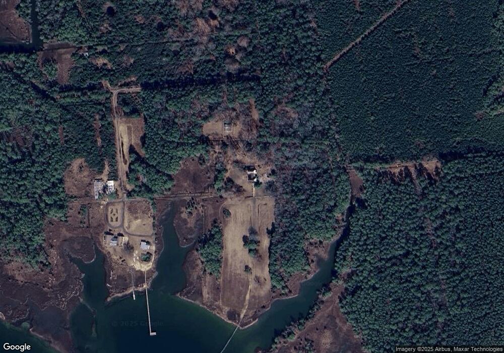
4204 Lands End Rd Unit END Gloucester, VA 23061
Gloucester South NeighborhoodEstimated Value: $1,277,552
6
Beds
5
Baths
5,620
Sq Ft
$227/Sq Ft
Est. Value
About This Home
This home is located at 4204 Lands End Rd Unit END, Gloucester, VA 23061 and is currently estimated at $1,277,552, approximately $227 per square foot. 4204 Lands End Rd Unit END is a home located in Gloucester County with nearby schools including Abingdon Elementary School, Page Middle School, and Gloucester High School.
Ownership History
Date
Name
Owned For
Owner Type
Purchase Details
Closed on
Dec 22, 2016
Sold by
Mcdermott Jeffrey S and Mcdermott Donna C
Bought by
Helton Ii John Allen
Current Estimated Value
Home Financials for this Owner
Home Financials are based on the most recent Mortgage that was taken out on this home.
Original Mortgage
$687,050
Outstanding Balance
$324,110
Interest Rate
3%
Mortgage Type
Purchase Money Mortgage
Estimated Equity
$953,442
Create a Home Valuation Report for This Property
The Home Valuation Report is an in-depth analysis detailing your home's value as well as a comparison with similar homes in the area
Home Values in the Area
Average Home Value in this Area
Purchase History
| Date | Buyer | Sale Price | Title Company |
|---|---|---|---|
| Helton Ii John Allen | $754,000 | Attorney |
Source: Public Records
Mortgage History
| Date | Status | Borrower | Loan Amount |
|---|---|---|---|
| Open | Helton Ii John Allen | $687,050 |
Source: Public Records
Tax History Compared to Growth
Tax History
| Year | Tax Paid | Tax Assessment Tax Assessment Total Assessment is a certain percentage of the fair market value that is determined by local assessors to be the total taxable value of land and additions on the property. | Land | Improvement |
|---|---|---|---|---|
| 2024 | $5,601 | $944,490 | $326,080 | $618,410 |
| 2023 | $5,601 | $944,490 | $326,080 | $618,410 |
| 2022 | $7,064 | $961,030 | $254,690 | $706,340 |
| 2021 | $6,775 | $961,030 | $254,690 | $706,340 |
| 2020 | $6,775 | $961,030 | $254,690 | $706,340 |
| 2019 | $45 | $877,750 | $254,690 | $623,060 |
| 2017 | $5,425 | $772,710 | $254,810 | $517,900 |
| 2016 | $9,180 | $779,400 | $270,980 | $508,420 |
| 2015 | $8,995 | $1,329,400 | $647,000 | $682,400 |
| 2014 | $5,388 | $1,329,400 | $647,000 | $682,400 |
Source: Public Records
Map
Nearby Homes
- 9323 Rowes Point Rd
- 3309 Guinea Cir
- 00 Horse Rd
- 1.12ac Horse Rd
- 3281 Kings Creek Rd
- 3306 Browns Bay Rd
- 9286 Sylvia Ave
- 25+AC Kings Creek Rd
- 0000 Guinea Rd
- 3000 Mill Point Rd
- 11.34 AC Burt Ln
- 0 Rowe Creek Ln
- 3+AC Rowe Creek Ln
- 10104 Smiley Rd
- 9975 Line Fence Rd
- 00 Severn Wharf Rd
- 0 Severn Wharf Rd
- 10+AC Severn Wharf Rd
- 5+AC Severn Wharf Rd
- 0000 Severn Wharf Rd
- 4204 Lands End Rd
- 00 Lands End Dr
- 00 Lands End Rd
- 0 Lands End Rd
- 9524 Whittaker Dr
- 4352 the Corduroy
- 4475 the Corduroy
- 4475 Corduroy Rd
- 4477 the Corduroy
- 4481 the Corduroy
- 128ACR Lands End Rd
- 4688 School House Rd
- 0 Corduroy Ln Unit 2909617
- 0 Corduroy Ln Unit 2909614
- 4473 the Corduroy
- 0 School House Rd
- 00 School House Rd
- 24 AC School House Rd
- 4442 School House Rd
- 9701 Robins Neck Rd
