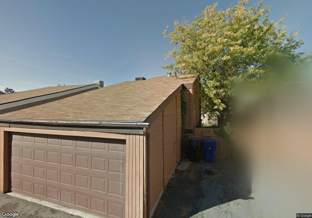
4204 S 2260 W Salt Lake City, UT 84129
Estimated Value: $370,000 - $381,946
4
Beds
2
Baths
1,724
Sq Ft
$217/Sq Ft
Est. Value
About This Home
This home is located at 4204 S 2260 W, Salt Lake City, UT 84129 and is currently estimated at $374,237, approximately $217 per square foot. 4204 S 2260 W is a home located in Salt Lake County with nearby schools including Taylorsville Elementary School, Eisenhower Jr High School, and Taylorsville High School.
Ownership History
Date
Name
Owned For
Owner Type
Purchase Details
Closed on
Mar 31, 2022
Sold by
Scott Dilley
Bought by
Savage Landon
Current Estimated Value
Purchase Details
Closed on
Jan 7, 2022
Sold by
Alan Wallace Michael
Bought by
Dilley Scott
Home Financials for this Owner
Home Financials are based on the most recent Mortgage that was taken out on this home.
Original Mortgage
$240,000
Interest Rate
3.12%
Mortgage Type
New Conventional
Purchase Details
Closed on
May 18, 2021
Sold by
Wallace Michael A
Bought by
Wallace Keith C and Wallace Robyn
Purchase Details
Closed on
Sep 9, 1996
Sold by
Wallace Michael A
Bought by
Wallace Michael A
Purchase Details
Closed on
Aug 24, 1994
Sold by
Cline L Colleen D
Bought by
Wallace Michael A
Home Financials for this Owner
Home Financials are based on the most recent Mortgage that was taken out on this home.
Original Mortgage
$50,300
Interest Rate
8.8%
Create a Home Valuation Report for This Property
The Home Valuation Report is an in-depth analysis detailing your home's value as well as a comparison with similar homes in the area
Home Values in the Area
Average Home Value in this Area
Purchase History
| Date | Buyer | Sale Price | Title Company |
|---|---|---|---|
| Savage Landon | -- | 1St Liberty Title | |
| Dilley Scott | -- | Cottonwood Title | |
| Wallace Keith C | -- | Accommodation | |
| Wallace Michael A | -- | -- | |
| Wallace Michael A | -- | -- | |
| Cline L Colleen D | -- | -- |
Source: Public Records
Mortgage History
| Date | Status | Borrower | Loan Amount |
|---|---|---|---|
| Previous Owner | Dilley Scott | $240,000 | |
| Previous Owner | Wallace Michael A | $50,300 |
Source: Public Records
Tax History Compared to Growth
Tax History
| Year | Tax Paid | Tax Assessment Tax Assessment Total Assessment is a certain percentage of the fair market value that is determined by local assessors to be the total taxable value of land and additions on the property. | Land | Improvement |
|---|---|---|---|---|
| 2025 | $1,765 | $300,300 | $54,900 | $245,400 |
| 2024 | $1,765 | $289,400 | $52,500 | $236,900 |
| 2023 | $1,684 | $270,900 | $50,500 | $220,400 |
| 2022 | $1,506 | $244,400 | $49,500 | $194,900 |
| 2021 | $1,633 | $197,000 | $38,100 | $158,900 |
| 2020 | $1,534 | $174,200 | $33,900 | $140,300 |
| 2019 | $1,486 | $166,700 | $33,900 | $132,800 |
| 2018 | $1,417 | $148,200 | $33,900 | $114,300 |
| 2017 | $1,266 | $140,200 | $32,200 | $108,000 |
| 2016 | $1,182 | $129,300 | $37,900 | $91,400 |
| 2015 | $1,209 | $124,000 | $49,800 | $74,200 |
| 2014 | $1,034 | $112,300 | $47,300 | $65,000 |
Source: Public Records
Map
Nearby Homes
- 2258 W 4185 S
- 2318 W 4220 S
- 2267 W 4240 S
- 2221 W Davenshire Ln
- 2409 W Hardrock Dr
- 2451 Hard Rock Cir S
- 2121 W 4100 S
- 1998 Theckston Rd
- 2218 W Mackay Ln
- 4111 S Greyhackle Ln
- 4107 S Greyhackle Ln
- 4077 Tralee Cir
- 4153 S 2700 W Unit 1G
- 1854 W 4100 S
- 2483 W 3965 S
- 4257 S Morris St
- 1901 Kirkham Way
- 4497 S Edgeware Ln
- 1762 Mantle Ave
- 4533 S Knightsbridge Rd
- 4212 S 2260 W
- 4202 S 2260 W
- 4214 S 2260 W
- 2308 W 4220 S
- 4211 S 2260 W
- 4211 S 2260 W Unit B
- 4203 S 2260 W
- 4203 S 2260 W Unit 57 B
- 4201 S 2260 W
- 4213 S 2260 W
- 2257 W 4185 S
- 2257 W 4185 S Unit SB
- 2251 W 4185 S
- 2251 W 4185 S Unit 8A
- 2245 W 4185 S
- 2269 W 4220 S
- 2277 W 4220 S
- 2285 W 4220 S
- 2261 W 4220 S
- 4202 S 2230 W