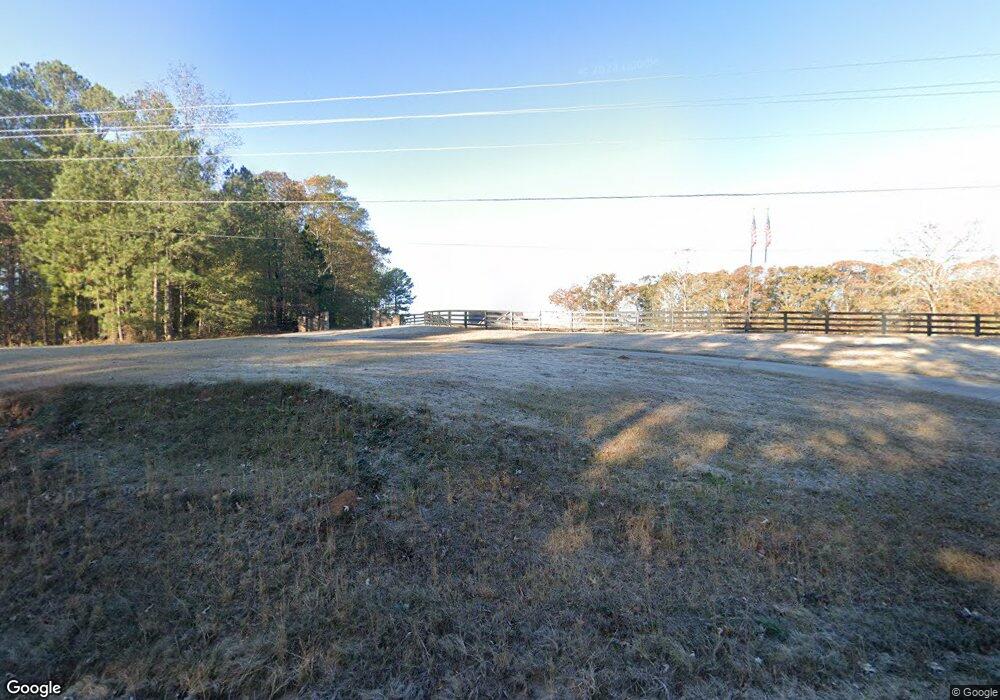
4204 Whitesville Rd Lagrange, GA 30240
Estimated Value: $442,000 - $664,000
4
Beds
3
Baths
3,546
Sq Ft
$151/Sq Ft
Est. Value
About This Home
This home is located at 4204 Whitesville Rd, Lagrange, GA 30240 and is currently estimated at $534,663, approximately $150 per square foot. 4204 Whitesville Rd is a home located in Troup County with nearby schools including Whitesville Road Elementary School, Rosemont Elementary School, and Berta Weathersbee Elementary School.
Ownership History
Date
Name
Owned For
Owner Type
Purchase Details
Closed on
Jan 19, 2023
Sold by
Jackson Dale
Bought by
Jackson Sarah K
Current Estimated Value
Purchase Details
Closed on
Oct 13, 2005
Sold by
Dye Alicia Ann
Bought by
Jackson Dale
Purchase Details
Closed on
Jan 1, 1974
Sold by
Patricia Mulkey Talley
Bought by
Aa Dye
Purchase Details
Closed on
Jan 1, 1973
Sold by
Mulkey L M
Bought by
Patricia Mulkey Talley
Purchase Details
Closed on
Jan 1, 1966
Bought by
Mulkey L M
Create a Home Valuation Report for This Property
The Home Valuation Report is an in-depth analysis detailing your home's value as well as a comparison with similar homes in the area
Home Values in the Area
Average Home Value in this Area
Purchase History
| Date | Buyer | Sale Price | Title Company |
|---|---|---|---|
| Jackson Sarah K | -- | -- | |
| Jackson Dale | $39,900 | -- | |
| Dye Alicia Ann | -- | -- | |
| Aa Dye | $1,000 | -- | |
| Patricia Mulkey Talley | -- | -- | |
| Mulkey L M | -- | -- |
Source: Public Records
Tax History Compared to Growth
Tax History
| Year | Tax Paid | Tax Assessment Tax Assessment Total Assessment is a certain percentage of the fair market value that is determined by local assessors to be the total taxable value of land and additions on the property. | Land | Improvement |
|---|---|---|---|---|
| 2024 | $4,963 | $183,960 | $17,440 | $166,520 |
| 2023 | $4,884 | $181,080 | $17,480 | $163,600 |
| 2022 | $2,487 | $91,080 | $17,480 | $73,600 |
| 2021 | $2,482 | $84,280 | $14,600 | $69,680 |
| 2020 | $2,482 | $84,280 | $14,600 | $69,680 |
| 2019 | $2,429 | $82,520 | $14,600 | $67,920 |
| 2018 | $2,243 | $76,360 | $14,600 | $61,760 |
| 2017 | $2,243 | $76,360 | $14,600 | $61,760 |
| 2016 | $2,187 | $74,491 | $14,600 | $59,891 |
| 2015 | $2,191 | $74,491 | $14,600 | $59,891 |
| 2014 | $2,099 | $71,339 | $14,600 | $56,739 |
| 2013 | -- | $74,650 | $14,600 | $60,050 |
Source: Public Records
Map
Nearby Homes
- 3913 Whitesville Rd
- 1605 Bartley Rd
- 2067 Bartley Rd
- 11.59+/- AC Hunt Rd
- 311 Tomme Rd
- 0 Tomme Rd Unit 10614697
- 2557 Bartley Rd
- 2964 Whitesville Rd
- 2790 Bartley Rd
- 0 Whitesville Rd Unit 10578327
- 0 Whitesville Rd Unit 10496838
- 3691 Hamilton Rd
- 37 Lake Dr
- 530 New Hutchinson Mill Rd
- 3919 Hamilton Rd Unit LOT 1
- 702 Old Hutchinson Mill Rd
- 2851 & 2891 Hamilton Rd
- 620 Old Hutchinson Mill Rd
- 113 Glenn Eagle Point
- 130 Hamilton Lake Dr
- 4342 Whitesville Rd
- 4232 Whitesville Rd
- 4217 Whitesville Rd
- 4096 Whitesville Rd
- 4281 Whitesville Rd
- 4066 Whitesville Rd
- 4181 Whitesville Rd
- 108 Pioneer Dr
- 4117 Whitesville Rd
- 110 Pioneer Dr
- 112 Pioneer Dr
- 109 Pioneer Dr
- 114 Pioneer Dr
- 114 Pioneer Dr Unit 10
- 0 Pioneer Dr Unit 3166104
- 0 Pioneer Dr Unit 8281692
- 0 Pioneer Dr Unit 8852465
- 0 Pioneer Dr Unit 7158009
- 0 Pioneer Dr Unit 7237055
- 0 Pioneer Dr Unit 7405428