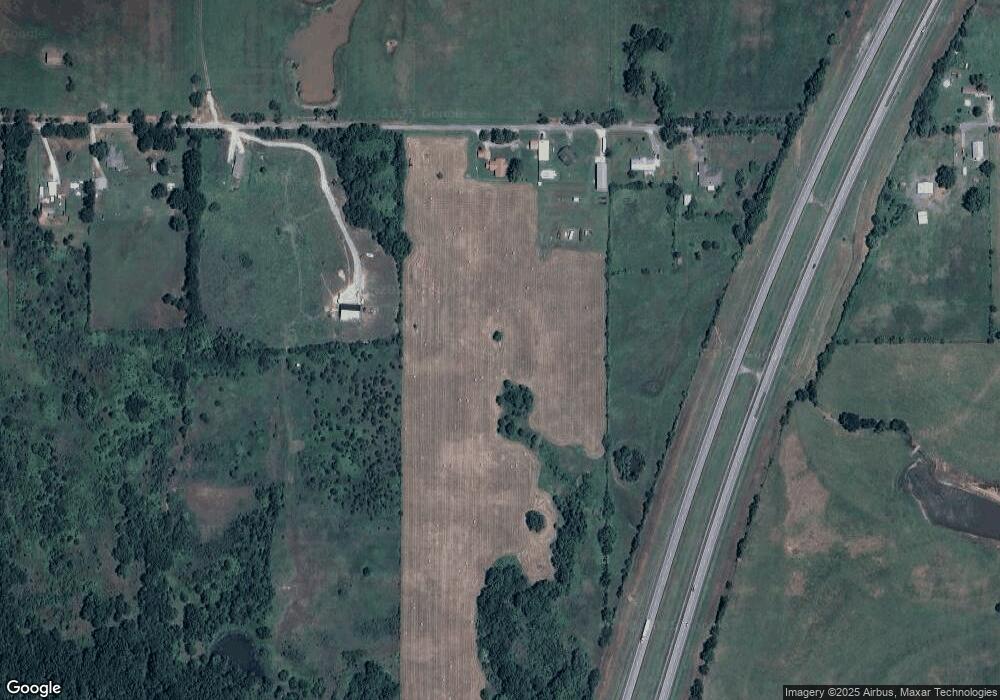
420470 E 1050 Rd Checotah, OK 74426
Estimated Value: $228,000 - $317,057
3
Beds
1
Bath
1,890
Sq Ft
$145/Sq Ft
Est. Value
About This Home
This home is located at 420470 E 1050 Rd, Checotah, OK 74426 and is currently estimated at $274,019, approximately $144 per square foot. 420470 E 1050 Rd is a home located in McIntosh County with nearby schools including Marshall Elementary School, Checotah Intermediate Elementary School, and Checotah Middle School.
Ownership History
Date
Name
Owned For
Owner Type
Purchase Details
Closed on
Jun 8, 2010
Sold by
Ray Ketih D and Ray Gwendolyn G
Bought by
Eller Ronnie and Eller Vonnie
Current Estimated Value
Home Financials for this Owner
Home Financials are based on the most recent Mortgage that was taken out on this home.
Original Mortgage
$127,102
Interest Rate
5.75%
Mortgage Type
Future Advance Clause Open End Mortgage
Purchase Details
Closed on
Apr 2, 2010
Sold by
Ray Keith D and Ray Gwendolyn G
Bought by
Eller Ronnie and Eller Vonnie
Home Financials for this Owner
Home Financials are based on the most recent Mortgage that was taken out on this home.
Original Mortgage
$127,102
Interest Rate
5.75%
Mortgage Type
Future Advance Clause Open End Mortgage
Purchase Details
Closed on
Jul 19, 2002
Sold by
Beaver
Bought by
Ray
Create a Home Valuation Report for This Property
The Home Valuation Report is an in-depth analysis detailing your home's value as well as a comparison with similar homes in the area
Home Values in the Area
Average Home Value in this Area
Purchase History
| Date | Buyer | Sale Price | Title Company |
|---|---|---|---|
| Eller Ronnie | -- | None Available | |
| Eller Ronnie | -- | None Available | |
| Ray | $135,000 | -- |
Source: Public Records
Mortgage History
| Date | Status | Borrower | Loan Amount |
|---|---|---|---|
| Closed | Eller Ronnie | $127,102 | |
| Previous Owner | Eller Ronnie | $127,102 |
Source: Public Records
Tax History Compared to Growth
Tax History
| Year | Tax Paid | Tax Assessment Tax Assessment Total Assessment is a certain percentage of the fair market value that is determined by local assessors to be the total taxable value of land and additions on the property. | Land | Improvement |
|---|---|---|---|---|
| 2025 | $1,281 | $16,492 | $1,099 | $15,393 |
| 2024 | $1,248 | $16,492 | $958 | $15,534 |
| 2023 | $1,248 | $16,492 | $1,044 | $15,448 |
| 2022 | $1,248 | $16,492 | $1,085 | $15,407 |
| 2021 | $1,470 | $16,492 | $1,096 | $15,396 |
| 2020 | $1,458 | $16,158 | $990 | $15,168 |
| 2019 | $1,448 | $16,158 | $990 | $15,168 |
| 2018 | $1,438 | $16,157 | $990 | $15,167 |
| 2017 | $1,428 | $16,157 | $990 | $15,167 |
| 2016 | $1,461 | $16,157 | $990 | $15,167 |
| 2015 | $1,524 | $16,793 | $990 | $15,803 |
| 2014 | $1,520 | $16,793 | $990 | $15,803 |
Source: Public Records
Map
Nearby Homes
- 825 NW 8th St
- 424398 Texanna Rd
- 737 NW 4th St
- 613 N Wineblood St
- 604 N Oak St
- 502 N Broadway St
- 309 E North Ave
- 110 NW 3rd St
- 112580 New Texanna Rd
- 5 S 4190 Rd
- 000 W N
- 911 W Mcintosh Ave
- 220 E Audd Ave
- 1045 W Mcintosh Ave
- 514 SE Main St
- 310 E Audd Ave
- 820 E Okmulgee Ave
- 219 SE 1st St
- 422773 A St
- 106692 S 4230 Rd
- 420470 E 1050 Rd
- 420298 E 1050 Rd
- East 1 acr Ecr 1050
- West 1 acr Ecr 1050
- 420216 E 1050 Rd
- 420180 E 1050 Rd
- 396 Buck Run
- 943 N Floyd Beaird Rd
- 420074 E 1050 Rd
- 813 N Floyd Beaird Rd
- 859 N Floyd Beaird Rd
- 107132 Beaver Bend Dr
- 733 N Floyd Beaird Rd
- 705 N Floyd Beaird Rd
- 2228 N Broadway St
- 2215 N Broadway St
- 0 Elizabeth St Unit 2125862
- 196 Fritz Ln
- 196 Fritz Ln
- 0 N Broadway St
