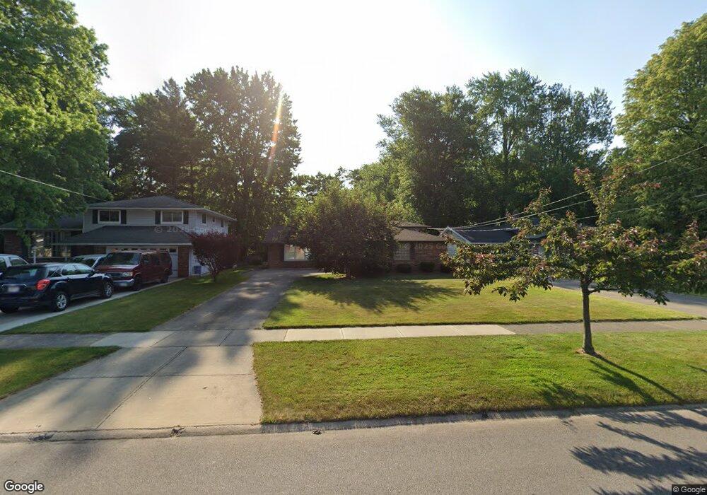
4205 Brendan Ln North Olmsted, OH 44070
Estimated Value: $288,063 - $325,000
3
Beds
2
Baths
1,900
Sq Ft
$162/Sq Ft
Est. Value
About This Home
This home is located at 4205 Brendan Ln, North Olmsted, OH 44070 and is currently estimated at $308,266, approximately $162 per square foot. 4205 Brendan Ln is a home located in Cuyahoga County with nearby schools including Maple Intermediate Elementary School, Pine Intermediate School, and North Olmsted Middle School.
Ownership History
Date
Name
Owned For
Owner Type
Purchase Details
Closed on
May 25, 1994
Sold by
White Quentin E and White Karen A
Bought by
White Quentin E
Current Estimated Value
Purchase Details
Closed on
Jan 1, 1975
Bought by
White Quentin E and White Karen A
Create a Home Valuation Report for This Property
The Home Valuation Report is an in-depth analysis detailing your home's value as well as a comparison with similar homes in the area
Home Values in the Area
Average Home Value in this Area
Purchase History
| Date | Buyer | Sale Price | Title Company |
|---|---|---|---|
| White Quentin E | -- | -- | |
| White Quentin E | -- | -- |
Source: Public Records
Tax History Compared to Growth
Tax History
| Year | Tax Paid | Tax Assessment Tax Assessment Total Assessment is a certain percentage of the fair market value that is determined by local assessors to be the total taxable value of land and additions on the property. | Land | Improvement |
|---|---|---|---|---|
| 2024 | $5,210 | $85,820 | $16,170 | $69,650 |
| 2023 | $4,508 | $64,370 | $14,910 | $49,460 |
| 2022 | $4,519 | $64,365 | $14,910 | $49,455 |
| 2021 | $4,089 | $64,370 | $14,910 | $49,460 |
| 2020 | $3,618 | $52,330 | $12,110 | $40,220 |
| 2019 | $3,520 | $149,500 | $34,600 | $114,900 |
| 2018 | $3,442 | $52,330 | $12,110 | $40,220 |
| 2017 | $3,371 | $46,630 | $9,980 | $36,650 |
| 2016 | $3,342 | $46,630 | $9,980 | $36,650 |
| 2015 | $3,280 | $46,630 | $9,980 | $36,650 |
| 2014 | $3,280 | $45,720 | $9,770 | $35,950 |
Source: Public Records
Map
Nearby Homes
- 4590 Brendan Ln
- 4505 Oak Cir
- 4666 Brendan Cir
- 22534 Bard Ave
- 22503 Sandy Ln
- 22934 Mastick Rd Unit 102
- 4849 Grace Rd Unit 121
- 22506 Sharon Ln
- 22537 Lenox Dr
- 23993 Fairlawn Dr
- 4514 Orchard Rd
- 22895 Mastick Rd
- 3463 Clague Rd
- 23245 Woodview Dr
- 4187 Columbia Rd Unit 126
- 22247 Mastick Rd
- 22976 Maple Ridge Rd Unit B 105
- 22968 Maple Ridge Rd Unit 103
- 4464 W 224th St
- 0 Mastick Rd Unit 5112571
- 4193 Brendan Ln
- 4217 Brendan Ln
- 4229 Brendan Ln
- 4179 Brendan Ln
- 4241 Brendan Ln
- 4167 Brendan Ln
- 0 Brendan Ln Unit 318E
- 4206 Brendan Ln
- 4218 Brendan Ln
- 4230 Brendan Ln
- 4182 Brendan Ln
- 4155 Brendan Ln
- 4255 Brendan Ln
- 4170 Brendan Ln
- 4143 Brendan Ln
- 4267 Brendan Ln
- 4158 Brendan Ln
- 4256 Brendan Ln
- 4146 Brendan Ln
- 4131 Brendan Ln