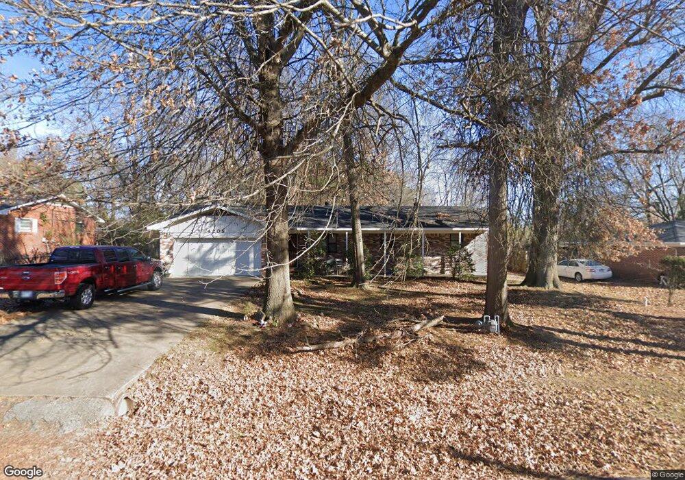
4205 Croxdale St Springdale, AR 72764
Shady Grove NeighborhoodEstimated Value: $250,044 - $302,000
--
Bed
2
Baths
1,591
Sq Ft
$179/Sq Ft
Est. Value
About This Home
This home is located at 4205 Croxdale St, Springdale, AR 72764 and is currently estimated at $285,261, approximately $179 per square foot. 4205 Croxdale St is a home located in Washington County with nearby schools including J. O. Kelly Middle School, Harp Elementary School, and George Junior High School.
Ownership History
Date
Name
Owned For
Owner Type
Purchase Details
Closed on
Feb 12, 2020
Sold by
Luper Gary F
Bought by
Luper Gary F and Luper Leana M
Current Estimated Value
Purchase Details
Closed on
May 24, 1990
Bought by
Luper Gary F
Purchase Details
Closed on
Aug 27, 1982
Bought by
Desalvo Abraham C
Purchase Details
Closed on
Aug 19, 1982
Bought by
Wells Vera L
Purchase Details
Closed on
Jan 17, 1969
Bought by
Wells Emmett L
Purchase Details
Closed on
Jan 1, 1969
Bought by
First Federal Sav. & Ln. Assoc.
Create a Home Valuation Report for This Property
The Home Valuation Report is an in-depth analysis detailing your home's value as well as a comparison with similar homes in the area
Home Values in the Area
Average Home Value in this Area
Purchase History
| Date | Buyer | Sale Price | Title Company |
|---|---|---|---|
| Luper Gary F | -- | None Available | |
| Luper Gary F | $58,000 | -- | |
| Desalvo Abraham C | -- | -- | |
| Wells Vera L | -- | -- | |
| Wells Emmett L | $16,000 | -- | |
| First Federal Sav. & Ln. Assoc. | -- | -- |
Source: Public Records
Tax History Compared to Growth
Tax History
| Year | Tax Paid | Tax Assessment Tax Assessment Total Assessment is a certain percentage of the fair market value that is determined by local assessors to be the total taxable value of land and additions on the property. | Land | Improvement |
|---|---|---|---|---|
| 2025 | $444 | $44,340 | $15,400 | $28,940 |
| 2024 | $544 | $44,340 | $15,400 | $28,940 |
| 2023 | $639 | $44,340 | $15,400 | $28,940 |
| 2022 | $689 | $28,720 | $12,500 | $16,220 |
| 2021 | $689 | $28,720 | $12,500 | $16,220 |
| 2020 | $689 | $28,720 | $12,500 | $16,220 |
| 2019 | $689 | $20,190 | $6,600 | $13,590 |
| 2018 | $714 | $20,190 | $6,600 | $13,590 |
| 2017 | $704 | $20,190 | $6,600 | $13,590 |
| 2016 | $704 | $20,190 | $6,600 | $13,590 |
| 2015 | $704 | $20,190 | $6,600 | $13,590 |
| 2014 | $774 | $20,662 | $6,492 | $14,170 |
Source: Public Records
Map
Nearby Homes
- 105 W Henson Ave
- 4409 Spyglass Dr
- 3951 Prince Philipe St
- 108 Lake Rd
- 3803 Le Mason St
- 3778 Prince Philipe St
- 309 Lake Rd
- 507 E Andrew Ave
- 405 Lake Rd
- 102 Franjo Ln
- 4402 Bogey Dr
- 564 Branchwood Ave
- 304 Fairway Cir Unit B
- 883 E Don Tyson Pkwy
- 3453 Sweetgum Ln
- 3459 Brian St
- 3300 Diana St
- 7 Acres Don Tyson Pkwy
- 195 Carrington Ave
- 3200 Kennesaw St
- 4203 Croxdale St
- 4207 Croxdale St
- 201 Midland Ave
- tbd Croxdale St
- 4202 Croxdale St
- 4200 Croxdale St
- 4303 Croxdale St
- 203 Midland Ave
- 4304 Croxdale St
- 4305 Alma St
- 107 Midland Ave
- 4204 Shawnee Cove
- 4206 Shawnee Cove
- 200 Midland Ave
- 4306 Croxdale St
- 4208 Shawnee Cove
- 108 Midland Ave
- 301 Midland Ave
- 4210 Shawnee Cove
- 105 Midland Ave