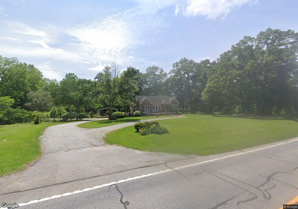
4205 E Highway 16 E Sharpsburg, GA 30277
Estimated Value: $314,822 - $377,000
3
Beds
2
Baths
2,040
Sq Ft
$166/Sq Ft
Est. Value
About This Home
This home is located at 4205 E Highway 16 E, Sharpsburg, GA 30277 and is currently estimated at $338,607, approximately $165 per square foot. 4205 E Highway 16 E is a home with nearby schools including Poplar Road Elementary School, East Coweta Middle School, and East Coweta High School.
Ownership History
Date
Name
Owned For
Owner Type
Purchase Details
Closed on
May 9, 2005
Sold by
Cole James M
Bought by
Cole James C
Current Estimated Value
Purchase Details
Closed on
Nov 4, 1998
Bought by
Cole James Clay
Home Financials for this Owner
Home Financials are based on the most recent Mortgage that was taken out on this home.
Original Mortgage
$50,000
Interest Rate
6.47%
Mortgage Type
Credit Line Revolving
Purchase Details
Closed on
Dec 15, 1993
Bought by
Cole James Clay
Purchase Details
Closed on
Nov 30, 1990
Bought by
Cole James Clay
Purchase Details
Closed on
Feb 29, 1984
Bought by
Cole Olive B and Cole James
Create a Home Valuation Report for This Property
The Home Valuation Report is an in-depth analysis detailing your home's value as well as a comparison with similar homes in the area
Home Values in the Area
Average Home Value in this Area
Purchase History
| Date | Buyer | Sale Price | Title Company |
|---|---|---|---|
| Cole James C | -- | -- | |
| Cole James Clay | -- | -- | |
| Cole James Clay | -- | -- | |
| Cole James Clay | -- | -- | |
| Cole Olive B | -- | -- |
Source: Public Records
Mortgage History
| Date | Status | Borrower | Loan Amount |
|---|---|---|---|
| Previous Owner | Cole James Clay | $50,000 |
Source: Public Records
Tax History Compared to Growth
Tax History
| Year | Tax Paid | Tax Assessment Tax Assessment Total Assessment is a certain percentage of the fair market value that is determined by local assessors to be the total taxable value of land and additions on the property. | Land | Improvement |
|---|---|---|---|---|
| 2025 | $1,490 | $99,448 | $51,386 | $48,063 |
| 2024 | $1,402 | $95,852 | $48,024 | $47,828 |
| 2023 | $1,402 | $72,674 | $28,651 | $44,023 |
| 2022 | $673 | $64,289 | $26,046 | $38,243 |
| 2021 | $619 | $59,961 | $24,806 | $35,155 |
| 2020 | $636 | $59,961 | $24,806 | $35,155 |
| 2019 | $1,929 | $63,664 | $26,237 | $37,427 |
| 2018 | $1,940 | $63,664 | $26,237 | $37,427 |
| 2017 | $1,943 | $63,664 | $26,236 | $37,428 |
| 2016 | $1,935 | $63,664 | $26,237 | $37,427 |
| 2015 | $1,911 | $63,664 | $26,237 | $37,427 |
| 2014 | $1,915 | $63,664 | $26,237 | $37,427 |
Source: Public Records
Map
Nearby Homes
- 138 Main St
- 1 Mcintosh Trail
- 0 Bob Smith Rd Unit 10562838
- 140 Halo Trace
- 196 Bob Smith Rd
- 250 Bob Smith Rd
- 296 Mcintosh Trail
- 28 Fawn Ct
- 244 Turin Rd
- 49 Durham Estates Dr
- 42 S Hunter St
- 483 Mcintosh Trail
- 180 Saint James Place
- Briarwood Plan at Twelve Parks 55+
- Sullivan Plan at Twelve Parks 55+
- 4 Unicoi Trail
- 12 Unicoi Trail
- Crestwood Plan at Twelve Parks 55+
- 98 Keown Loop
- Brunswick Plan at Twelve Parks 55+