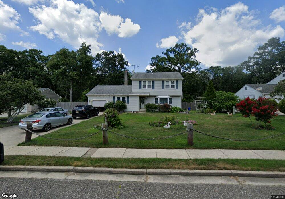
4205 Fairway Dr Mays Landing, NJ 08330
Estimated Value: $338,661 - $406,000
--
Bed
--
Bath
1,698
Sq Ft
$216/Sq Ft
Est. Value
About This Home
This home is located at 4205 Fairway Dr, Mays Landing, NJ 08330 and is currently estimated at $367,165, approximately $216 per square foot. 4205 Fairway Dr is a home located in Atlantic County with nearby schools including George L. Hess Educational Complex, Joseph Shaner School, and William Davies Middle School.
Ownership History
Date
Name
Owned For
Owner Type
Purchase Details
Closed on
May 5, 2020
Sold by
Lee Nancy
Bought by
Lee Nancy and Lee Bobby
Current Estimated Value
Purchase Details
Closed on
May 7, 2002
Sold by
Tang Ly and Lee Nancy
Bought by
Lee Nancy
Purchase Details
Closed on
Nov 28, 1990
Sold by
Dedomenicis Laurence and Dedomenicis Charlotte
Bought by
Maclean Douglas A and Maclean Ceann E
Purchase Details
Closed on
Mar 23, 1989
Sold by
Law Bruce D and Sally Jo
Bought by
Tang Ly and Tang Lee,Nancy
Purchase Details
Closed on
Jul 13, 1988
Sold by
Pompo Nicholas
Bought by
Law Bruce D and Sally Jo
Create a Home Valuation Report for This Property
The Home Valuation Report is an in-depth analysis detailing your home's value as well as a comparison with similar homes in the area
Home Values in the Area
Average Home Value in this Area
Purchase History
| Date | Buyer | Sale Price | Title Company |
|---|---|---|---|
| Lee Nancy | -- | None Available | |
| Lee Nancy | $60,000 | -- | |
| Maclean Douglas A | $109,000 | -- | |
| Tang Ly | $120,000 | -- | |
| Law Bruce D | $96,000 | -- |
Source: Public Records
Tax History Compared to Growth
Tax History
| Year | Tax Paid | Tax Assessment Tax Assessment Total Assessment is a certain percentage of the fair market value that is determined by local assessors to be the total taxable value of land and additions on the property. | Land | Improvement |
|---|---|---|---|---|
| 2025 | $6,570 | $191,500 | $55,000 | $136,500 |
| 2024 | $6,570 | $191,500 | $55,000 | $136,500 |
| 2023 | $6,178 | $191,500 | $55,000 | $136,500 |
| 2022 | $6,178 | $191,500 | $55,000 | $136,500 |
| 2021 | $6,164 | $191,500 | $55,000 | $136,500 |
| 2020 | $6,164 | $191,500 | $55,000 | $136,500 |
| 2019 | $6,180 | $191,500 | $55,000 | $136,500 |
| 2018 | $5,963 | $191,500 | $55,000 | $136,500 |
| 2017 | $5,869 | $191,500 | $55,000 | $136,500 |
| 2016 | $5,705 | $191,500 | $55,000 | $136,500 |
| 2015 | $5,511 | $191,500 | $55,000 | $136,500 |
| 2014 | $5,638 | $214,600 | $60,000 | $154,600 |
Source: Public Records
Map
Nearby Homes
- 7 Golf Dr
- 20 Monet Dr
- 66 Monet Dr
- 4127 Black Horse Pike
- 94 Baltusrol Dr
- 78 Oakmont Dr
- 124 Amherst Dr
- 26 Baltusrol Dr
- 182 Pebble Beach Dr
- 197 Pebble Beach Dr
- 172 Turnberry Ct
- 277 Greenbriar Ct
- 16 Rue Chagall
- 156 Muirfield Ct
- 218 Burning Tree Ct
- 154 Muirfield Ct
- 712 Scarborough Dr
- 165 Turnberry Ct
- 8 Rembrandt Way
- 134 Glen Eagles Ct