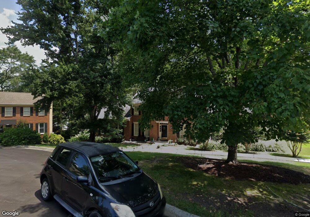
4205 Holly Bank Ct Norcross, GA 30092
Estimated Value: $567,000 - $661,000
4
Beds
3
Baths
2,777
Sq Ft
$216/Sq Ft
Est. Value
About This Home
This home is located at 4205 Holly Bank Ct, Norcross, GA 30092 and is currently estimated at $600,958, approximately $216 per square foot. 4205 Holly Bank Ct is a home located in Gwinnett County with nearby schools including Simpson Elementary School, Pinckneyville Middle School, and Norcross High School.
Ownership History
Date
Name
Owned For
Owner Type
Purchase Details
Closed on
Oct 25, 2007
Sold by
Prall David S and Prall Laura R
Bought by
Perpall Michael E and Perpall Beth W
Current Estimated Value
Home Financials for this Owner
Home Financials are based on the most recent Mortgage that was taken out on this home.
Original Mortgage
$256,000
Outstanding Balance
$160,314
Interest Rate
6.27%
Mortgage Type
New Conventional
Estimated Equity
$440,644
Create a Home Valuation Report for This Property
The Home Valuation Report is an in-depth analysis detailing your home's value as well as a comparison with similar homes in the area
Home Values in the Area
Average Home Value in this Area
Purchase History
| Date | Buyer | Sale Price | Title Company |
|---|---|---|---|
| Perpall Michael E | $320,000 | -- |
Source: Public Records
Mortgage History
| Date | Status | Borrower | Loan Amount |
|---|---|---|---|
| Open | Perpall Michael E | $256,000 |
Source: Public Records
Tax History Compared to Growth
Tax History
| Year | Tax Paid | Tax Assessment Tax Assessment Total Assessment is a certain percentage of the fair market value that is determined by local assessors to be the total taxable value of land and additions on the property. | Land | Improvement |
|---|---|---|---|---|
| 2024 | $2,073 | $210,520 | $38,800 | $171,720 |
| 2023 | $2,073 | $210,520 | $38,800 | $171,720 |
| 2022 | $2,062 | $198,760 | $38,800 | $159,960 |
| 2021 | $2,057 | $165,280 | $32,400 | $132,880 |
| 2020 | $2,052 | $157,800 | $29,280 | $128,520 |
| 2019 | $1,879 | $145,000 | $26,000 | $119,000 |
| 2018 | $1,874 | $133,840 | $24,000 | $109,840 |
| 2016 | $1,646 | $118,040 | $18,000 | $100,040 |
| 2015 | $4,190 | $118,040 | $18,000 | $100,040 |
| 2014 | -- | $106,560 | $18,000 | $88,560 |
Source: Public Records
Map
Nearby Homes
- 4019 Deerings Dr Unit 42
- 6423 Deerings Ln
- 6433 Deerings Ln
- 6538 Deerings Ln
- 6530 Deerings Ln
- 6307 Deerings Hollow
- 6550 Deerings Ln
- 6509 Deerings Ln
- 4405 River Trail Dr
- 4410 River Trail Dr
- 4410 River Trail Dr Unit 383
- 6010 Spalding Dr
- 6169 Poplar Bluff Cir
- 6387 Rosecommon Dr NW
- 3887 Moran Way
- 6040 Neely Farm Dr Unit 3
- 3710 Wedgewood Chase Unit 22
- 5970 Rachel Ridge Unit 2
- 4575 Dairy Way
- 6355 Station Mill Dr
- 4222 Spring House Ln
- 4215 Holly Bank Ct
- 4232 Spring House Ln
- 4225 Holly Bank Ct
- 4204 Holly Bank Ct
- 0 Holly Bank Ct NW
- 6367 Station Mill Dr
- 4214 Holly Bank Ct
- 4242 Spring House Ln
- 0 Spring House Ln NW Unit 7122342
- 0 Spring House Ln NW Unit 7096957
- 0 Spring House Ln NW Unit 3280878
- 0 Spring House Ln NW Unit 3242497
- 0 Spring House Ln NW Unit 8675223
- 0 Spring House Ln NW Unit 8263577
- 0 Spring House Ln NW Unit 8258900
- 0 Spring House Ln NW Unit 7347873
- 0 Spring House Ln NW
- 6348 Station Mill Dr