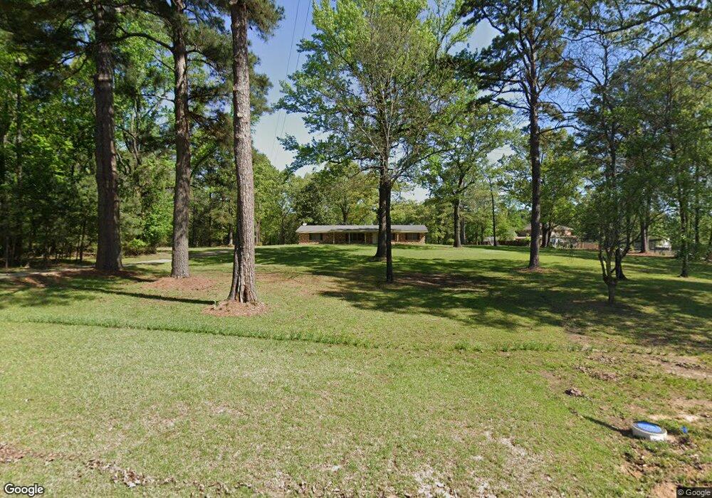
4206 Airline Dr Texarkana, TX 75503
Estimated Value: $259,737 - $295,000
--
Bed
--
Bath
1,998
Sq Ft
$138/Sq Ft
Est. Value
About This Home
This home is located at 4206 Airline Dr, Texarkana, TX 75503 and is currently estimated at $276,184, approximately $138 per square foot. 4206 Airline Dr is a home located in Bowie County with nearby schools including Margaret Fischer Davis Elementary School, Pleasant Grove Intermediate School, and Pleasant Grove Middle School.
Ownership History
Date
Name
Owned For
Owner Type
Purchase Details
Closed on
Jul 13, 2022
Sold by
Wittu Kristina K
Bought by
Steele Stephen and Steele Laura
Current Estimated Value
Home Financials for this Owner
Home Financials are based on the most recent Mortgage that was taken out on this home.
Original Mortgage
$160,000
Outstanding Balance
$151,777
Interest Rate
5.09%
Mortgage Type
New Conventional
Estimated Equity
$124,407
Create a Home Valuation Report for This Property
The Home Valuation Report is an in-depth analysis detailing your home's value as well as a comparison with similar homes in the area
Home Values in the Area
Average Home Value in this Area
Purchase History
| Date | Buyer | Sale Price | Title Company |
|---|---|---|---|
| Steele Stephen | -- | Capital Title |
Source: Public Records
Mortgage History
| Date | Status | Borrower | Loan Amount |
|---|---|---|---|
| Open | Steele Stephen | $160,000 |
Source: Public Records
Tax History Compared to Growth
Tax History
| Year | Tax Paid | Tax Assessment Tax Assessment Total Assessment is a certain percentage of the fair market value that is determined by local assessors to be the total taxable value of land and additions on the property. | Land | Improvement |
|---|---|---|---|---|
| 2025 | $4,676 | $212,104 | $51,000 | $161,104 |
| 2024 | $4,676 | $210,119 | $42,000 | $168,119 |
| 2023 | $4,480 | $198,993 | $42,000 | $156,993 |
| 2022 | $4,521 | $184,121 | $42,000 | $142,121 |
| 2021 | $3,888 | $148,676 | $30,000 | $118,676 |
| 2020 | $3,780 | $143,790 | $30,000 | $113,790 |
| 2019 | $3,753 | $139,140 | $30,000 | $109,140 |
| 2018 | $3,675 | $137,018 | $30,000 | $107,018 |
| 2017 | $3,618 | $135,237 | $30,000 | $105,237 |
| 2016 | $3,618 | $135,237 | $30,000 | $105,237 |
| 2015 | $1,248 | $134,362 | $30,000 | $104,362 |
| 2014 | $1,248 | $130,984 | $30,000 | $100,984 |
Source: Public Records
Map
Nearby Homes
- 6203 Belair Dr
- 4604 Suzanne Ave
- 6408 Prestige Ln
- 5902 Richmond Rd
- 6010 Shadyside Ln
- 3707 Maplecrest St
- TBD Lionel Ave
- 3703 Maplecrest St
- 6005 Stoneridge Dr
- 36 Briarwood Cir
- 3809 Hunters Ridge
- 4 Holly Ridge Dr
- 918 Clear Creek Dr
- 0 Briarwood Cir
- 3501 Clear Creek Cir
- 3810 Hunters Ridge
- 3407 Williamsburg Ln
- 604 Clear Creek Dr
- 3409 Williamsburg Ln
- 5917 Sidney Dr
- 6906 Springwood Cir
- 3 Elmwood Place
- 4203 Airline Dr
- 6424 Bel Air Dr
- 6902 Springwood Cir
- 6 Elmwood Place
- 4304 Airline Dr
- 4301 Airline Dr
- 6408 Springwood Dr
- 6410 Bel Air Dr
- 6407 Springwood Dr
- 4 Elmwood Place
- 6901 Springwood Cir
- 6402 Springwood Cir
- 4012 Airline Dr
- 6408 Bel Air Dr
- 6405 Springwood Dr
- 6408 Belair Dr
- 0 Springwood Cir Unit 20026849
- 6808 Springwood Cir