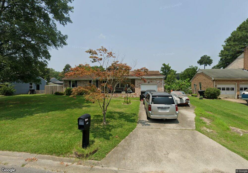
4206 Burrland Rd Portsmouth, VA 23703
Churchland NeighborhoodEstimated Value: $333,622 - $347,000
3
Beds
2
Baths
1,786
Sq Ft
$191/Sq Ft
Est. Value
About This Home
This home is located at 4206 Burrland Rd, Portsmouth, VA 23703 and is currently estimated at $340,406, approximately $190 per square foot. 4206 Burrland Rd is a home located in Portsmouth City with nearby schools including Churchland Primary/Intermediate School, Churchland Middle School, and Churchland High School.
Ownership History
Date
Name
Owned For
Owner Type
Purchase Details
Closed on
Jun 22, 2015
Sold by
Blow Trustee James S
Bought by
Branson Charlie M
Current Estimated Value
Home Financials for this Owner
Home Financials are based on the most recent Mortgage that was taken out on this home.
Original Mortgage
$174,900
Outstanding Balance
$135,707
Interest Rate
3.88%
Mortgage Type
VA
Estimated Equity
$204,699
Create a Home Valuation Report for This Property
The Home Valuation Report is an in-depth analysis detailing your home's value as well as a comparison with similar homes in the area
Home Values in the Area
Average Home Value in this Area
Purchase History
| Date | Buyer | Sale Price | Title Company |
|---|---|---|---|
| Branson Charlie M | $174,900 | -- |
Source: Public Records
Mortgage History
| Date | Status | Borrower | Loan Amount |
|---|---|---|---|
| Open | Branson Charlie M | $174,900 |
Source: Public Records
Tax History Compared to Growth
Tax History
| Year | Tax Paid | Tax Assessment Tax Assessment Total Assessment is a certain percentage of the fair market value that is determined by local assessors to be the total taxable value of land and additions on the property. | Land | Improvement |
|---|---|---|---|---|
| 2025 | $3,639 | $289,510 | $73,500 | $216,010 |
| 2024 | $3,639 | $281,960 | $73,500 | $208,460 |
| 2023 | $3,298 | $263,830 | $73,500 | $190,330 |
| 2022 | $3,006 | $231,240 | $61,250 | $169,990 |
| 2021 | $2,755 | $211,900 | $49,390 | $162,510 |
| 2020 | $2,685 | $206,560 | $47,040 | $159,520 |
| 2019 | $2,588 | $199,070 | $47,040 | $152,030 |
| 2018 | $2,588 | $199,070 | $47,040 | $152,030 |
| 2017 | $2,588 | $199,070 | $47,040 | $152,030 |
| 2016 | $2,588 | $199,070 | $47,040 | $152,030 |
| 2015 | $2,588 | $199,070 | $47,040 | $152,030 |
| 2014 | $2,528 | $199,070 | $47,040 | $152,030 |
Source: Public Records
Map
Nearby Homes
- 5807 Dunkin St
- 4200 Quince Rd
- 4028 Swannanoa Dr
- 3433 Willow Breeze Dr
- 4224 Burnham Dr
- 4100 Mayfair Way
- 4232 Summerset Dr
- 4008 Oakhurst Rd
- 5833 Hawthorne Ln
- 5806 Fawkes St
- 5728 Hawthorne Ln
- 3860 Sugar Creek Cir
- 3866 Augustine Cir
- 8 Compass Ct
- 3616 Bowden St
- 3604 Lilac Dr
- 17 Shoal Ct
- 5606 Gregory Ct
- 3660B Towne Point Rd Unit A
- 21 Windy Pines Crescent
- 4208 Burrland Rd
- 4204 Burrland Rd
- 4213 Meadowview Rd
- 4217 Meadowview Rd
- 4209 Meadowview Rd
- 4202 Burrland Rd
- 4210 Burrland Rd
- 4205 Burrland Rd
- 4207 Burrland Rd
- 4203 Burrland Rd
- 4221 Meadowview Rd
- 4205 Meadowview Rd
- 4200 Burrland Rd
- 4209 Burrland Rd
- 4118 Forresthills Dr
- 4201 Meadowview Rd
- 4212 Meadowview Rd
- 4216 Meadowview Rd
- 4119 Tarnywood Dr
- 4208 Meadowview Rd