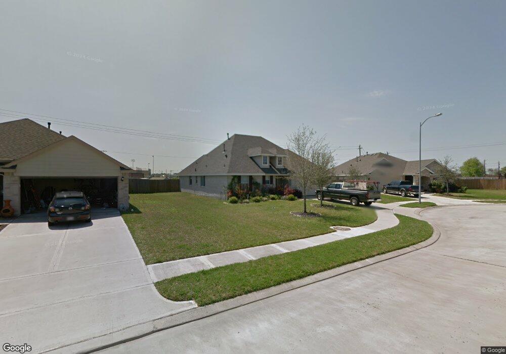
4206 Parry Dr Pearland, TX 77584
Estimated Value: $305,952 - $320,000
--
Bed
1
Bath
1,820
Sq Ft
$173/Sq Ft
Est. Value
About This Home
This home is located at 4206 Parry Dr, Pearland, TX 77584 and is currently estimated at $314,238, approximately $172 per square foot. 4206 Parry Dr is a home located in Brazoria County with nearby schools including Magnolia Elementary School, Pearland Junior High School South, and Sam Jamison Middle School.
Ownership History
Date
Name
Owned For
Owner Type
Purchase Details
Closed on
Aug 1, 2007
Sold by
K Hovnanian Of Houston Ii Llc
Bought by
Webb Thomas Wayne and Pena Jose
Current Estimated Value
Home Financials for this Owner
Home Financials are based on the most recent Mortgage that was taken out on this home.
Original Mortgage
$161,000
Outstanding Balance
$102,093
Interest Rate
6.69%
Mortgage Type
Purchase Money Mortgage
Estimated Equity
$212,145
Purchase Details
Closed on
Jul 11, 2006
Sold by
Sowell Interests Parkside Lp
Bought by
K Hovnanian Of Houston Ii Lp
Create a Home Valuation Report for This Property
The Home Valuation Report is an in-depth analysis detailing your home's value as well as a comparison with similar homes in the area
Home Values in the Area
Average Home Value in this Area
Purchase History
| Date | Buyer | Sale Price | Title Company |
|---|---|---|---|
| Webb Thomas Wayne | -- | Alamo Title Company | |
| K Hovnanian Of Houston Ii Lp | -- | Alamo Title Company |
Source: Public Records
Mortgage History
| Date | Status | Borrower | Loan Amount |
|---|---|---|---|
| Open | Webb Thomas Wayne | $161,000 |
Source: Public Records
Tax History Compared to Growth
Tax History
| Year | Tax Paid | Tax Assessment Tax Assessment Total Assessment is a certain percentage of the fair market value that is determined by local assessors to be the total taxable value of land and additions on the property. | Land | Improvement |
|---|---|---|---|---|
| 2025 | $2,973 | $296,250 | $39,050 | $257,200 |
| 2023 | $2,973 | $259,351 | $39,050 | $238,980 |
| 2022 | $7,464 | $235,774 | $26,030 | $223,570 |
| 2021 | $7,280 | $214,340 | $26,030 | $188,310 |
| 2020 | $7,331 | $216,370 | $26,030 | $190,340 |
| 2019 | $6,666 | $189,440 | $26,030 | $163,410 |
| 2018 | $6,312 | $180,000 | $26,030 | $153,970 |
| 2017 | $6,474 | $183,920 | $26,030 | $157,890 |
| 2016 | $6,120 | $181,900 | $26,030 | $155,870 |
| 2014 | $4,964 | $150,200 | $26,030 | $124,170 |
Source: Public Records
Map
Nearby Homes
- 3806 Canterbury Park Dr
- 3804 Parry Fields Ct
- 3705 Canterbury Park Dr
- 3703 Canterbury Park Dr
- 4015 Cedarwood Dr
- 3910 Greenwood Dr
- 3509 Pentland Downs St
- 4013 Ivywood Dr
- 4806 Chaperel Dr
- 3911 Spring Garden Dr
- 16622 Mclean Rd
- 3307 Norma Ln
- 5101 Big Spring Dr
- 16719 Mclean Rd
- 7206 Williams Rd
- 4004 Green Anjou Ln
- 4013 Green Anjou Ln
- 3224 Woodrose Orchard
- 3425 Daily Harvest Dr
- 3424 Daily Harvest Dr
- 4204 Parry Dr
- 4208 Parry Dr
- 4202 Parry Dr
- 3812 Parry Field Ct
- 3809 Parry Field Ct
- 3810 Parry Field Ct
- 4110 Parry Dr
- 3807 Parry Field Ct
- 3808 Parry Field Ct
- 3808 Canterbury Park Dr
- 16630 County Rd
- 3805 Parry Field Ct
- 4108 Parry Dr
- 3806 Parry Field Ct
- 3807 Canterbury Park Dr
- 3803 Parry Field Ct
- 4106 Parry Dr
- 3804 Parry Field Ct
- 3804 Canterbury Park Dr
- 4104 Parry Dr